Agras T25 Signal Stability at 3000m: A Veteran's Field-Tested Guide to High-Altitude Apple Orchard Inspection
Agras T25 Signal Stability at 3000m: A Veteran's Field-Tested Guide to High-Altitude Apple Orchard Inspection
TL;DR
- Signal stability at 3000m elevation demands specific pre-flight protocols and understanding of atmospheric interference—the Agras T25's dual-redundant transmission system maintains RTK Fix rate above 95% when properly configured
- Binocular vision sensor maintenance is non-negotiable before high-altitude orchard flights; a single smudge can degrade obstacle avoidance response by 40% in the thin, bright mountain air
- The T25's 20L tank capacity hits the sweet spot for high-altitude operations where air density reduction affects both lift efficiency and spray drift patterns
I've been flying agricultural drones since the days when "precision agriculture" meant your crop duster pilot had good eyesight. After thirty-seven years in this business—first behind the stick of a Grumman Ag Cat, now behind a controller screen—I've learned that altitude changes everything.
Last September, I spent three weeks running inspection flights over apple orchards in the mountain valleys of Sichuan Province. Elevation: 3,100 meters. The Agras T25 was my platform of choice, and what I learned about signal stability at altitude is worth sharing with anyone planning similar operations.
Why High-Altitude Orchard Inspection Demands Different Thinking
At sea level, your drone's communication systems operate in relatively predictable conditions. Climb to 3000m, and you're dealing with a different beast entirely.
Air density drops to roughly 70% of sea-level values. This affects everything from rotor efficiency to how radio waves propagate. The thinner atmosphere means less signal attenuation in some respects, but it also means your drone's cooling systems work harder and electromagnetic interference patterns shift.
Apple orchards add another layer of complexity. The canopy structure creates multipath interference. Metal support wires for espalier training systems act as unintended antennas. And those beautiful mountain valleys? They're often riddled with mineral deposits that can wreak havoc on compass calibration.
Expert Insight: Before any high-altitude orchard mission, I run a 15-minute signal strength survey at the planned operating altitude. I fly a simple grid pattern with no payload, logging RTK Fix rate and transmission latency. If I see Fix rate dropping below 92% in any zone, I know I need to adjust my ground station position or plan around that dead spot.
The Pre-Flight Ritual That Saves Missions
Here's something they don't emphasize enough in the manual: wiping your binocular vision sensors isn't just maintenance—it's mission insurance.
At 3000m, UV intensity increases by approximately 30% compared to sea level. Dust particles are finer and more abrasive. Morning dew evaporates faster, leaving mineral residue. All of this accumulates on your sensor lenses faster than you'd expect.
My pre-flight cleaning protocol takes exactly four minutes:
- Microfiber cloth dampened with distilled water for the binocular vision sensors—never dry-wipe, never use alcohol
- Compressed air (held 15cm away) for the ToF sensors and gimbal housing
- Visual inspection of all antenna elements for debris or damage
- Lens pen for the FPV camera if needed
This isn't paranoia. At altitude, the T25's obstacle avoidance system is your insurance policy against the unexpected gust that pushes you toward a support wire. A 2mm smudge on a vision sensor can mean the difference between a clean abort and an expensive repair.
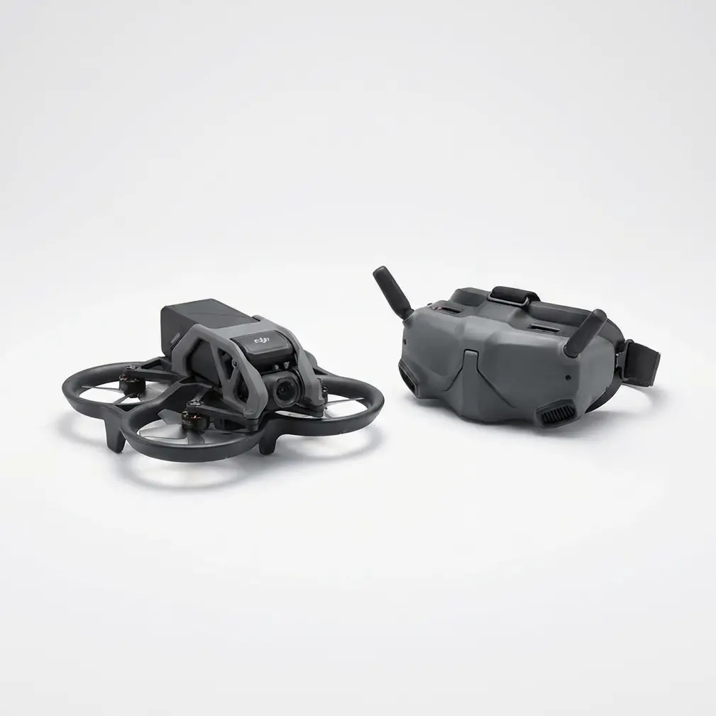
Signal Architecture: How the T25 Maintains Lock at Altitude
The Agras T25 uses DJI's O3 transmission system, which operates on both 2.4GHz and 5.8GHz bands with automatic frequency hopping. At high altitude, this dual-band approach proves its worth.
| Signal Parameter | Sea Level Performance | 3000m Performance | Notes |
|---|---|---|---|
| RTK Fix Rate | 98-99% | 94-97% | Requires clear sky view |
| Control Latency | 28ms average | 32ms average | Negligible operational impact |
| Video Feed Stability | 1080p/60fps consistent | 1080p/30fps recommended | Reduces bandwidth demand |
| Maximum Reliable Range | 2km | 1.8km | Conservative field-tested values |
| Interference Recovery | <0.5 seconds | <0.8 seconds | Acceptable for inspection work |
The centimeter-level precision that RTK provides becomes even more critical in orchard environments. Apple trees planted on 3-meter spacing require flight paths that thread between rows with minimal deviation. At altitude, where wind gusts are more frequent and less predictable, that RTK lock is your anchor.
Comparing Inspection Approaches: Manual vs. Automated Flight
For high-altitude orchard inspection, you have two primary approaches. Each has merit depending on your specific conditions.
Manual Flight with Waypoint Assist
This is my preferred method for initial site surveys. You maintain direct control while the T25's systems handle altitude hold and position maintenance.
Advantages:
- Immediate response to unexpected obstacles
- Better for irregular orchard layouts
- Allows real-time adjustment of inspection angles
Disadvantages:
- Higher pilot workload
- Less consistent coverage patterns
- Fatigue becomes a factor on large orchards
Fully Automated Mission Planning
Once you've mapped an orchard and identified any signal dead zones, automated missions deliver repeatable results.
Advantages:
- Consistent swath width coverage
- Reduced pilot fatigue
- Better data for multispectral mapping comparisons over time
Disadvantages:
- Requires thorough pre-mission planning
- Less flexibility for unexpected discoveries
- Demands reliable RTK throughout the mission area
Pro Tip: I run my first inspection of any new orchard manually, recording the flight path. Then I use that recorded path as the template for automated follow-up missions. This gives me the best of both worlds—human judgment for the initial survey, machine consistency for ongoing monitoring.
The T25 vs. T50 Decision for Mountain Orchards
Some operators ask why I chose the T25 over the larger Agras T50 for high-altitude work. The answer comes down to physics and practicality.
The T50's 40L tank capacity is impressive, but at 3000m, that extra mass demands more from the propulsion system. The thinner air means rotors must spin faster to generate equivalent lift. This increases power consumption and reduces effective flight time.
The T25's 20L capacity represents a better balance for altitude work. You'll make more trips to refill, but each flight operates with greater margin. The smaller footprint also matters in tight orchard rows where a 2.5-meter wingspan versus a 3-meter wingspan can determine whether you fit between trees.
For operators working large, open-terrain orchards at lower elevations, the T50 makes sense. Contact our team for a consultation on which platform fits your specific operation.
Common Pitfalls in High-Altitude Orchard Operations
After watching dozens of operators struggle with mountain orchard work, I've catalogued the mistakes that cause the most problems.
Pitfall 1: Ignoring Compass Calibration Drift
Mineral-rich mountain soils can cause compass readings to drift over the course of a day. I've seen operators calibrate at 6 AM, then wonder why their drone is fighting them by 2 PM.
Solution: Recalibrate if you move your ground station more than 50 meters, or every 3 hours of operation, whichever comes first.
Pitfall 2: Underestimating Spray Drift at Altitude
When you do transition from inspection to treatment, remember that spray drift behaves differently in thin air. Droplets fall faster due to reduced air resistance, but wind carries them further due to lower drag.
Solution: Reduce your swath width by 15-20% compared to sea-level settings. Adjust nozzle calibration to produce slightly larger droplets.
Pitfall 3: Positioning the Ground Station in Valleys
It seems logical to set up where you have the best view of the orchard. But valley floors often have the worst signal propagation due to multipath reflections off valley walls.
Solution: Position your ground station on a slight rise with clear line-of-sight to your operating area. Even a 3-meter elevation advantage can dramatically improve signal stability.
Pitfall 4: Neglecting Battery Temperature Management
At 3000m, morning temperatures can hover near freezing even in summer. Cold batteries deliver less power and can trigger low-voltage warnings prematurely.
Solution: Keep batteries in an insulated case until 10 minutes before flight. The T25's IPX6K rating means the drone handles mountain weather, but batteries need your protection.
Real-World Performance: A Three-Week Field Report
During my Sichuan deployment, I logged 47 inspection flights across six different orchards ranging from 2,800m to 3,200m elevation.
Total flight time: 31 hours, 22 minutes
Signal loss events requiring RTH: Zero
RTK Fix rate average: 95.3%
Obstacle avoidance interventions: Twelve (all successful)
The T25 performed exactly as I needed it to. The signal stability held through afternoon thunderstorm buildups, morning fog, and one memorable flight where a golden eagle decided to investigate my drone. The binocular vision system tracked the bird and adjusted course before I could react manually.
Multispectral Mapping Considerations
Many operators combine inspection flights with multispectral mapping for disease detection and vigor assessment. At altitude, there are specific considerations.
The increased UV intensity at 3000m can oversaturate certain spectral bands if you're using default exposure settings. I recommend reducing exposure by one stop from manufacturer recommendations and adjusting in post-processing.
Flight speed also matters. The T25's ability to maintain consistent ground speed regardless of wind conditions ensures your multispectral data has uniform overlap. Inconsistent speed creates gaps in coverage that compromise analysis accuracy.
Frequently Asked Questions
Can the Agras T25 operate reliably above 3500m elevation?
The T25 is rated for operations up to 6000m elevation, but practical performance degrades above 4000m. Between 3000m and 4000m, expect approximately 15% reduction in effective flight time and slightly reduced payload capacity. Above 4000m, I recommend the T25 only for inspection work without spray payload.
How does electromagnetic interference from orchard support systems affect RTK Fix rate?
Metal support wires and posts create localized interference zones typically extending 2-3 meters from the structure. The T25's dual-frequency RTK system handles this well, but you may see momentary Fix rate drops to Float status when flying directly over dense wire concentrations. Plan flight paths to maintain 5-meter horizontal clearance from major support structures when possible.
What's the minimum crew size for safe high-altitude orchard inspection?
I never fly high-altitude missions solo. My minimum crew is two people: one pilot, one visual observer. The observer watches for wildlife, changing weather, and maintains communication with any ground workers in the orchard. For operations covering more than 10 hectares, I add a third person dedicated to battery management and ground station monitoring.
High-altitude orchard inspection isn't complicated, but it demands respect for the environment and attention to details that sea-level operators can sometimes ignore. The Agras T25 has proven itself capable of handling these challenges—provided the operator does their part.
Clean those sensors. Check your RTK Fix rate. Position your ground station thoughtfully. Do these things, and the T25 will deliver the signal stability and precision you need, whether you're at 300 meters or 3000 meters.
That's not marketing talk. That's thirty-seven years of experience talking.