Agras T25 Signal Stability for Corn Field Mapping: What Every Operator Needs to Know After Heavy Rain
Agras T25 Signal Stability for Corn Field Mapping: What Every Operator Needs to Know After Heavy Rain
TL;DR
- Post-rain muddy conditions create unique electromagnetic interference challenges that demand proper RTK base station placement and pre-flight sensor maintenance for reliable multispectral mapping operations
- The Agras T25's dual-antenna RTK system maintains centimeter-level precision even when ground moisture levels spike, but operators must understand signal propagation basics to maximize RTK fix rates above 95%
- Wiping binocular vision sensors before every flight isn't optional—mud splatter from previous operations can reduce obstacle detection range by up to 40%, compromising autonomous flight safety
Why Signal Stability Matters More Than You Think on Wet Ground
I've been flying agricultural drones since before most operators knew what RTK stood for. Thirty years of crop dusting taught me one thing: the ground beneath your aircraft matters just as much as the sky above it.
When you're mapping corn fields after a solid rain, you're not just dealing with mud on your boots. You're dealing with fundamentally altered electromagnetic conditions that can turn a routine mapping mission into a frustrating exercise in signal dropouts and incomplete data sets.
The Agras T25 handles these conditions remarkably well—but only if you understand what you're asking it to do and set it up correctly.
Expert Insight: Wet soil acts as a better electrical conductor than dry soil. This changes how radio signals bounce and absorb across your field. I've seen operators blame their equipment when the real culprit was positioning their RTK base station on a metal fence post near saturated ground. The T25's hardware is solid—your setup decisions determine whether you capture usable multispectral mapping data or fly home empty-handed.
Pre-Flight Ritual: The Sensor Wipe That Saves Your Mission
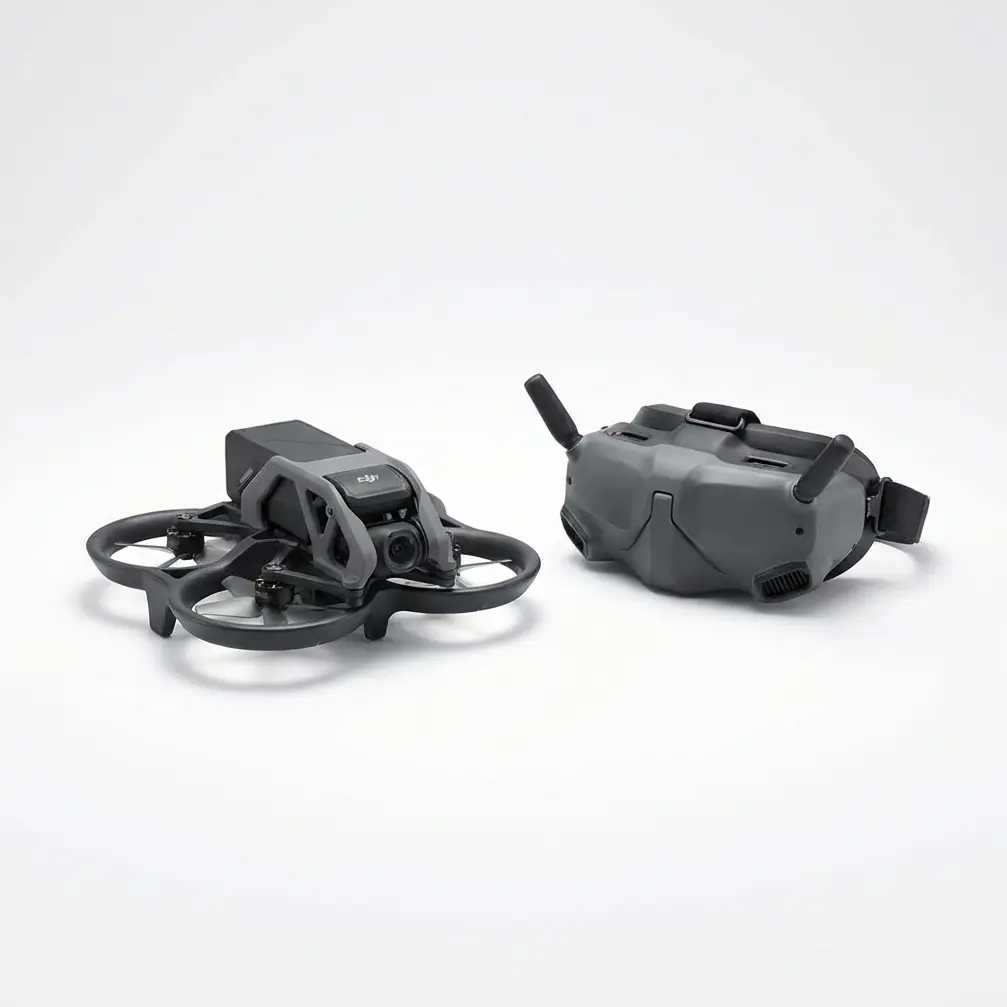
Before we talk frequencies and fix rates, let's address something I see operators skip constantly: cleaning the binocular vision sensors.
The T25's forward, backward, and downward vision systems are your autonomous safety net. These sensors detect obstacles, measure altitude over variable terrain, and keep your 20L airframe from becoming an expensive lawn ornament.
Here's my non-negotiable pre-flight step after any muddy field operation:
Use a microfiber cloth dampened with distilled water. Wipe each sensor lens in a circular motion, starting from the center and moving outward. Check for dried mud residue in the sensor housing edges—this accumulates faster than you'd expect when operating at low altitudes over wet corn.
Why does this matter for signal stability? Because the T25's flight controller integrates vision positioning data with RTK corrections. When vision sensors are compromised, the system relies more heavily on satellite positioning alone. In challenging signal environments—like post-rain fields with potential multipath interference—you want every positioning system operating at 100% efficiency.
Understanding RTK Fix Rate in Muddy Conditions
Let's get technical for a moment.
RTK fix rate refers to the percentage of time your drone maintains a "fixed" solution—meaning it's receiving and processing correction data accurately enough to achieve centimeter-level precision. For quality multispectral mapping, you need sustained fix rates above 95%.
What Affects RTK Performance After Rain
| Environmental Factor | Impact on Signal | T25 Mitigation Strategy |
|---|---|---|
| Saturated soil conductivity | Increased ground-wave absorption | Dual-antenna design reduces multipath sensitivity |
| Standing water reflections | Signal multipath interference | Elevated RTK base station placement (minimum 2 meters above ground) |
| High humidity atmosphere | Minor signal attenuation | Operates reliably up to 95% relative humidity |
| Corn canopy moisture | Scattered signal paths | 8km transmission range provides margin for degraded conditions |
| Metal irrigation equipment | Localized interference zones | Pre-mission site survey to identify no-fly buffers |
The T25's RTK module connects to both GPS and GLONASS constellations simultaneously. This redundancy proves critical when individual satellite signals face interference from wet field conditions.
Base Station Placement: The Mistake Everyone Makes Once
I'll tell you about a mapping job I consulted on last season. Operator had a brand-new T25, perfect weather window after three days of rain, and a 160-acre corn field ready for NDVI analysis.
He set up his RTK base station on the tailgate of his truck. Truck was parked on a gravel access road—which had turned into a shallow stream after the rain.
His RTK fix rate hovered around 67%. Unusable for precision mapping. He was ready to send the drone back to the dealer.
The fix took two minutes: we moved the base station tripod to a dry concrete pad near the field entrance, elevated it to 2.5 meters, and ensured clear sky visibility in all directions above 15 degrees elevation.
Fix rate jumped to 98.4%. Same drone. Same field. Same satellites overhead.
Pro Tip: Carry a small tarp and a sandbag in your field kit. If no dry, stable surface exists near your mapping area, create one. Lay the tarp, weight it down, and place your tripod on that artificial dry zone. This simple step has saved more missions than any firmware update ever will.
Swath Width Considerations for Corn Mapping
When mapping corn at various growth stages, your swath width directly impacts mission efficiency and data quality.
The T25 supports integration with DJI's multispectral imaging payloads, allowing you to capture the spectral bands necessary for crop health analysis. But here's where signal stability intersects with mapping quality:
Inconsistent RTK fixes create gaps in your orthomosaic.
If your drone loses centimeter-level precision mid-swath, the resulting images won't align properly during post-processing. You'll see visible seams, misregistered pixels, and unreliable NDVI calculations.
For post-rain corn mapping, I recommend:
- Reduce flight speed by 15-20% compared to dry conditions
- Increase image overlap to 80% frontal and 75% side (up from standard 75/65)
- Plan missions during mid-morning hours when atmospheric moisture has partially evaporated but thermal updrafts haven't developed
These adjustments compensate for any momentary signal degradation without requiring you to re-fly entire sections.
Common Pitfalls: What Experienced Operators Avoid
Pitfall 1: Ignoring Antenna Orientation
The T25's dual RTK antennas have specific orientation requirements. When you're rushing to beat incoming weather or fading daylight, it's tempting to skip the compass calibration.
Don't.
Muddy fields often contain buried metal—old irrigation pipes, forgotten equipment, mineral deposits. These create localized magnetic anomalies. A proper calibration before each mission ensures your heading data remains accurate, which directly affects how RTK corrections are applied.
Pitfall 2: Flying Too Low Over Saturated Corn
Wet corn leaves are heavier. They droop. What was a 3-meter clearance during your dry-weather reconnaissance might become a 2-meter clearance after rain.
The T25's obstacle avoidance systems will protect you, but constant avoidance maneuvers disrupt your mapping grid and create data gaps. Plan for minimum 5-meter altitude over post-rain corn to maintain consistent flight paths.
Pitfall 3: Neglecting Battery Temperature
This one catches people off guard. Muddy field operations often mean early morning starts to avoid afternoon heat. But cool, humid mornings affect battery performance.
The T25's intelligent batteries perform optimally between 15°C and 40°C. If your batteries have been sitting in a cold vehicle overnight, warm them gradually before flight. Cold batteries deliver less power, which can affect transmission strength to your RTK base station.
Pitfall 4: Single-Frequency RTK Reliance
If your operation still uses single-frequency RTK corrections, post-rain mapping will frustrate you endlessly. The ionospheric delays that single-frequency systems struggle to correct become more pronounced when ground moisture increases atmospheric water vapor.
The T25 supports multi-frequency RTK. Use it. The investment in a compatible base station pays for itself in reduced re-flights.
Nozzle Calibration and Spray Drift: When Mapping Informs Application
Many operators use the T25 for both mapping and spraying operations. Here's where signal stability creates a direct return on investment.
Accurate multispectral maps identify variable-rate application zones. But those maps are only useful if your subsequent spray missions follow the same precise flight paths.
When RTK signal stability remains consistent between your mapping flight and your application flight, you achieve:
- Spray drift reduction through optimized swath alignment
- Nozzle calibration verification by comparing planned vs. actual coverage
- Input cost savings of 8-15% through elimination of overlap waste
The T25's IPX6K rating means you can spray in conditions that would ground lesser equipment. But the real value comes from the data continuity between your mapping and application missions.
Technical Specifications: T25 Signal Performance
| Specification | T25 Value | Relevance to Muddy Field Mapping |
|---|---|---|
| RTK Positioning Accuracy | 1cm + 1ppm horizontal | Maintains precision despite ground moisture interference |
| Maximum Transmission Range | 8km (FCC) | Provides margin for signal degradation in challenging environments |
| Operating Temperature | -10°C to 45°C | Handles early morning cold starts common in post-rain scheduling |
| Hover Accuracy (RTK) | ±10cm horizontal, ±10cm vertical | Critical for consistent multispectral image capture |
| Tank Capacity | 20L | Optimized for medium-acreage operations where signal stability matters most |
| Max Wind Resistance | 6m/s | Post-rain often brings residual wind; T25 maintains stable flight |
For operators managing larger acreage where the 20L capacity becomes limiting, the Agras T50 offers 40L capacity with similar signal stability characteristics. Contact our team for guidance on which platform matches your operation scale.
Frequently Asked Questions
Can the Agras T25 map corn fields immediately after rain stops?
Yes, but with conditions. The T25's IPX6K rating protects against water ingress, so light residual moisture won't damage the aircraft. However, I recommend waiting 2-4 hours after rain stops before mapping. This allows surface water to drain, reducing multipath interference from standing water reflections. It also lets corn leaves shed excess moisture, providing more accurate multispectral readings of actual plant health rather than surface water signatures.
How do I know if my RTK fix rate is sufficient for quality multispectral mapping?
Monitor your ground station display throughout the mission. The T25's controller shows RTK status in real-time. For mapping operations requiring centimeter-level precision, maintain a "FIX" status (not "FLOAT" or "SINGLE") for at least 95% of your flight time. If you see frequent drops to FLOAT status, land immediately and troubleshoot your base station placement before continuing. Completing a mission with poor fix rates wastes battery cycles and produces unusable data.
What's the minimum corn height where signal stability becomes a concern?
Signal stability itself isn't affected by corn height—that's determined by your RTK setup and environmental factors. However, corn height above 1.5 meters creates practical challenges that indirectly affect mission success. Taller corn reduces GPS signal reception at very low altitudes, and the plant mass can interfere with the T25's downward vision sensors. For corn above 2 meters, maintain minimum 8-meter flight altitude and ensure your RTK base station has completely unobstructed sky view. The T25 handles these conditions reliably when properly configured.
Final Thoughts From the Field
I've watched drone technology transform agricultural aviation from seat-of-the-pants flying to precision data operations. The Agras T25 represents what happens when engineers actually listen to operators who've spent decades reading fields from above.
Signal stability isn't glamorous. Nobody posts social media videos about their RTK fix rates. But it's the foundation that makes everything else possible—accurate maps, precise applications, reduced inputs, better yields.
Take the time to understand what affects your signal. Clean those vision sensors. Position your base station correctly. And respect what post-rain conditions do to the electromagnetic environment you're operating in.
The T25 will do its job. Make sure you're doing yours.
Need help optimizing your T25 for challenging field conditions? Contact our team for personalized consultation on your specific operation.