Avata for Remote Construction Site Capture
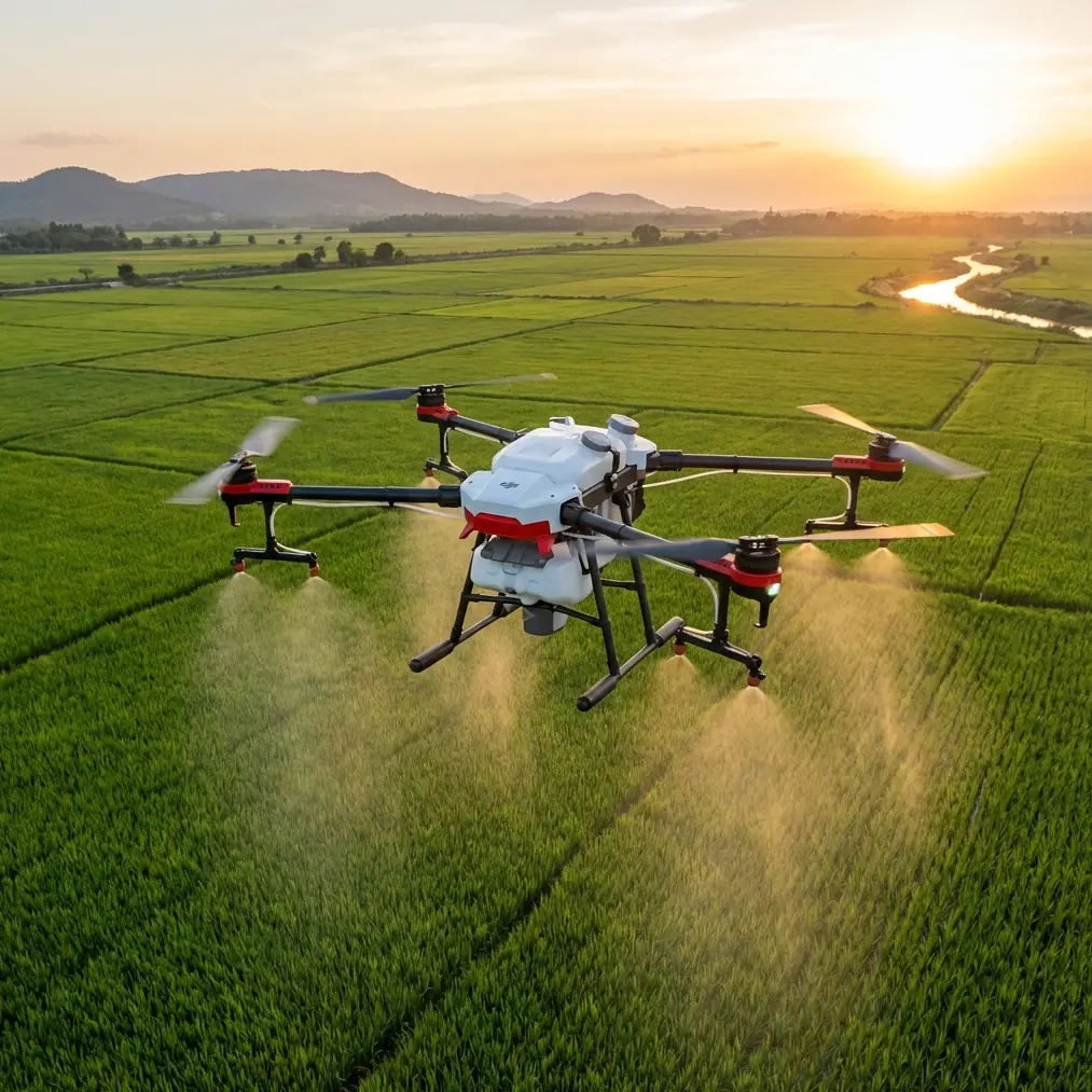
Avata for Remote Construction Site Capture: A Field Review Through the Lens of Mapping Discipline
META: A technical review of DJI Avata for remote construction site capture, grounded in low-altitude photogrammetry standards, image interpretation workflow, and real-world field conditions.
I took the Avata to a remote construction site with a photographer’s instincts and a surveyor’s caution.
That distinction matters.
A lot of content around Avata leans into the thrill of flight. That misses the point for serious site documentation. On an active or partially developed construction site, the question is not whether the aircraft is fun to fly. The question is whether the imagery you bring back can support interpretation, coordination, progress verification, and clean handoff to people working in the office after the flight is over.
That is where the low-altitude digital aerial photogrammetry standard referenced here becomes unexpectedly useful. Even though Avata is not usually the first platform people mention for mapping-style site work, the standard highlights a discipline that applies directly to remote construction capture: preserve image clarity, define interpretation boundaries carefully, and annotate consistently so downstream teams can trust what they are seeing.
Viewed that way, Avata becomes more interesting.
Why Avata makes sense on a remote construction site
Remote projects create a specific kind of friction. Access roads may be rough. Crew availability is limited. Site conditions change quickly. Often, you need imagery from awkward positions: around partially erected structures, beside excavation edges, under temporary access constraints, or near material staging zones where a larger aircraft is less comfortable operating.
This is where Avata’s compact, protected design and close-quarters handling earn attention. Obstacle avoidance is not a decorative feature in this context; it changes the practical risk profile when flying near scaffold lines, temporary fencing, utility corridors, and steel members. On a site where the built environment is still incomplete and geometry is messy, collision resilience and controlled maneuvering are far more relevant than headline specs.
The bigger advantage, though, is not just navigation. It is repeatable visual access.
If your goal is to document progress on retaining walls, structural frames, drainage runs, rooftop penetrations, or temporary works, you need to get the camera close enough to read conditions without sacrificing situational awareness. Avata is well suited to that middle zone between cinematic proximity and operational caution.
The overlooked standard that should shape your Avata workflow
The source standard, 低空数字航空摄影测量外业规范 (CH/Z 3004—2010), is not a product manual. It is a field discipline document. Yet several of its instructions map surprisingly well onto construction capture with Avata.
One of the clearest points is this: when using digital orthophoto imagery for interpretation, the image should retain its original resolution. Operationally, that is a major reminder for Avata crews. Too many site teams compress files early, export smaller review copies, or route images through messaging apps before technical review. Once that happens, fine construction details begin to disappear: rebar density, conduit routing, curb alignment, edge protection placement, pipe bedding conditions, or surface cracking can become harder to interpret correctly.
On a remote site, where a return visit may cost half a day, keeping original resolution is not an academic preference. It is insurance.
The standard also states that symbols and text used during interpretation should be unified and clear so office staff can judge the material accurately. This sounds mundane until you have lived the alternative: one pilot circles defects in red, another uses arrows, a third adds vague notes like “check this area,” and the engineering team spends more time deciphering markings than evaluating the actual site. If you are using Avata imagery for progress reviews or punch-list support, annotation discipline matters almost as much as image quality.
In other words, the aircraft may be compact and agile, but the workflow behind it should be methodical.
What happened when the weather changed mid-flight
The day started clean enough: light haze, stable visibility, and just enough sun to separate earthworks from newly placed aggregate. The site sat beyond the easy edge of town, the kind of project where every battery counts because you do not want to keep hiking back and forth across rough access.
About halfway through the session, the weather shifted.
The wind picked up first, then the light flattened. A few minutes later, the site lost the crisp contrast you want for reading surface transitions. Puddled sections of compacted soil started reflecting a dull sheen. Steel members blended more into the background. Dust lifted in one corner near the haul route.
That is exactly the kind of moment when a drone review becomes honest.
Avata handled the transition better than many people would expect from a platform often framed around immersive flying. Not because physics stop applying, but because control confidence still matters when the environment gets less cooperative. In tighter passes near partially built structures, I could stay deliberate rather than rushing to finish a shot list before conditions worsened. Obstacle awareness and stable handling gave me room to prioritize the most operationally valuable captures first: perimeter drainage, access road wear, stockpile boundaries, and the interface between the new slab area and temporary circulation routes.
The lesson was simple. On remote construction work, weather is not just an exposure issue. It affects interpretability. Once shadows collapse or wind-induced dust softens detail, your imagery becomes less useful for office analysis. Avata’s handling helped me adapt, but the real win came from knowing what had to be captured before the window closed.
That is where training and process beat enthusiasm every time.
Overlap, boundaries, and why photogrammetry thinking still matters
One of the strongest details in the standard is the requirement for more than 20% overlap between interpretation images, with range lines arranged to avoid gaps and excessive duplication. Even if you are not building a formal orthomosaic from Avata flights, this principle should absolutely inform site capture.
Why? Because remote construction documentation fails most often at transitions.
A pilot records the excavation zone thoroughly, then records the concrete pour area thoroughly, but misses the connecting corridor where temporary drainage was rerouted. Or they capture the roof work and façade work separately without enough overlap to understand where penetrations align. The result is not a lack of imagery. It is a lack of continuity.
Maintaining meaningful overlap gives office reviewers context. It lets them trace a retaining edge into a drainage swale, follow utility trench progression across zones, or compare material laydown patterns against access constraints. For construction stakeholders, that continuity can be more useful than a few dramatic close passes.
The standard also warns that interpretation boundaries should avoid coinciding with linear features or cutting through residential areas, and that neighboring interpretation sheets should not leave holes or inconsistent overlaps. Translate that into a practical Avata rule: do not end your capture sequence on the exact line of a road edge, fence line, trench, or wall if that feature matters to decision-making. Carry the pass beyond the feature so reviewers are not forced to guess what lies just outside the frame.
That is operational significance, not paperwork.
How I would structure an Avata site mission using these rules
For a remote construction site, I would divide an Avata session into three layers.
First layer: high-context establishing coverage.
Not generic cinematic openers. Useful context. Access points, perimeter condition, material staging, drainage routes, and the relationship between active work fronts. This is where overlap discipline starts. Each pass should connect visually with the next.
Second layer: feature-specific interpretation runs.
This is where Avata shines. Tight, controlled passes around structural steel, façade interfaces, rooftop equipment zones, excavation edges, and temporary works. If weather is shifting, these become priority captures because they are hardest to reshoot.
Third layer: annotation-ready review material.
Still frames or clips selected specifically for office use. Here I follow the standard’s logic closely: preserve original resolution, keep labeling consistent, and make sure notes support interpretation rather than clutter it. If I am handing material to a project manager, architect, or survey technician, I want them to know exactly what each frame is meant to show.
If your team is trying to set up a cleaner field-to-office review process for this kind of work, it helps to discuss workflow before the next flight; I’ve seen useful operational conversations start from a simple message thread like this direct project chat.
Avata’s imaging tools in a construction setting
The context mentions tools like QuickShots, Hyperlapse, D-Log, and ActiveTrack. On construction work, their value depends on restraint.
QuickShots can be useful for rapid contextual reveals when you need a concise visual summary for stakeholders who will not scrub through long raw footage. But they should support the record, not replace it. Fancy motion without consistent framing rarely helps technical review.
Hyperlapse has a stronger case than many people assume. For remote sites with visible daily logistics patterns, a carefully planned time-compressed sequence can show haul route congestion, crane activity zones, or changing weather over exposed work areas. Used sparingly, it can communicate site dynamics better than static stills.
D-Log matters most when lighting turns difficult, which is exactly what happened on my flight. Once the weather shifted and contrast dropped, preserving grading flexibility became useful. Not for stylized footage, but for recovering enough tonal separation to make surfaces and materials read clearly in post.
ActiveTrack is the one feature I would treat most cautiously on a construction site. Subject tracking can help with documenting moving plant or workflow context in a controlled environment, but only when the flight area is well understood and the objective is strictly observational. For most technical site documentation, deliberate manual framing remains the safer choice because you decide what gets visual priority.
Paper-output logic still applies in a digital workflow
Another detail from the standard deserves more attention than it usually gets: when printed interpretation images are used, the output scale should be chosen based on the complexity of ground features, and in complex areas it should be enlarged. There is also a technical note that the pixel size for output imagery should not exceed the equivalent of 0.1 mm at the corresponding map scale.
You do not need to literally print Avata imagery for this to matter.
The underlying lesson is that image presentation should match feature density. If the area is simple, broad overviews may be enough. If it is dense with services, structural interfaces, temporary barriers, and active work fronts, you need tighter framing and more detail. Construction sites are not uniform. One edge of the property may need only broad perimeter documentation; another may require extremely careful close visual reading.
This is where many drone operators underdeliver. They fly one pattern across the whole site as if every zone demands the same visual treatment. The standard argues for the opposite: let complexity determine how you present and interpret imagery.
That principle translates perfectly to Avata work.
What Avata is, and what it is not, for serious site capture
Avata is not a replacement for a dedicated survey workflow when contractual mapping accuracy is required. It is not the aircraft I would choose to pretend a compliance-grade deliverable can be improvised.
But that is too narrow a benchmark anyway.
For remote construction sites, there is a large category of work between casual visual media and formal survey products. Progress interpretation. Change detection. Access documentation. Visual verification of installations. Coordination support between field and office teams. Condition capture after weather impacts. In that space, Avata can be extremely effective if flown with mapping discipline rather than entertainment habits.
The standard reinforces that point. Keep original resolution. Use consistent annotation. Ensure overlap. Avoid coverage gaps. Respect feature complexity. Capture meaningful changes after photography, especially major engineering additions or substantial development changes. Those are not abstract rules. They are exactly the habits that turn drone footage into usable project information.
That was the real takeaway from my remote-site session.
The weather shifted. The light went flat. The wind became less forgiving. Avata still did its job. Yet the aircraft was only part of the story. The value came from applying field interpretation principles that are older and wiser than any single drone platform.
That is how Avata earns a place on a serious construction workflow: not by acting like a toy that can film a jobsite, but by becoming a disciplined imaging tool in the hands of someone who understands what the office will need after the batteries are packed away.
Ready for your own Avata? Contact our team for expert consultation.