Using DJI Avata on Dusty Construction Sites
Using DJI Avata on Dusty Construction Sites: A Practical Workflow for Cleaner Data and Safer Flights
META: Learn how to use Avata effectively on dusty construction sites with a workflow inspired by real aerial mapping standards, image overlap requirements, and smarter post-processing principles.
Dust changes everything.
It softens contrast, contaminates lenses, confuses visual references, and turns an otherwise simple site flight into a data-management problem. If you are flying an Avata around an active construction environment, especially where loose soil, grading work, trenching, or vehicle movement keeps fine particles suspended in the air, your biggest challenge is rarely just piloting. It is preserving usable imagery and stable flight geometry from capture through processing.
That is where a more disciplined approach matters.
Avata is usually discussed through the lens of immersive flying, tight-space movement, and creative FPV-style footage. On dusty construction sites, though, the more interesting story is operational control: how to plan passes, protect image quality, and structure a repeatable workflow so the footage or site imagery remains useful after the flight. And when you look at established aerial survey practice, even from mountain water conservancy mapping, there are lessons that translate surprisingly well.
Why old-school photogrammetry rules still matter for Avata
A technical reference from UAV surveying in mountainous hydraulic mapping lays out several image-acquisition thresholds that are easy to overlook if you come from a purely cinematic FPV background. It specifies a forward overlap of 60% ± 5% and a side overlap of 30% ± 5%. It also sets control limits such as photo tilt no greater than 2°, photo rotation no more than 6°, and route curvature no more than 3%.
Those numbers were not written for Avata. But they describe something universal: if you want imagery that can be stitched, compared, measured, or reviewed with confidence, consistency beats drama.
On a dusty construction site, this becomes operationally significant for two reasons.
First, dust often reduces edge definition. When the visual scene gets flatter, software has fewer reliable features to match between frames. If your passes are already loose, your overlap weak, and your camera angle inconsistent, the dust compounds every one of those problems. Maintaining something close to that 60% forward overlap gives your later review or reconstruction workflow more chances to find stable matching points despite partial haze or particulate interference.
Second, dust and wind usually arrive together. The same source notes that mapping quality depends on aircraft stability and wind resistance. Again, not Avata-specific, but directly relevant. Even a capable drone can produce weak data if the pilot allows too much yaw correction, inconsistent banking, or curved lines around obstacles. In practical terms, the route curvature limit of 3% is a reminder to fly straighter than your instincts might suggest.
If your goal is construction progress checks, material stockpile review, facade observation, trench inspection, or internal coordination videos that need spatial continuity, these are not abstract survey numbers. They are capture discipline.
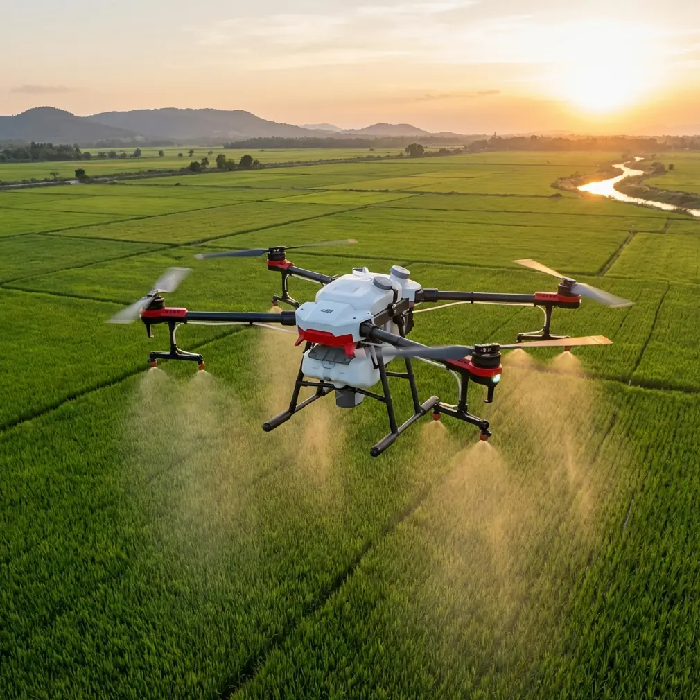
What dusty sites do to Avata footage
Avata’s agility is useful in constrained work zones. It can move around scaffolding, temporary structures, excavation edges, and partially enclosed areas where larger platforms feel clumsy. But dusty sites punish aggressive flying.
Push too low over dry aggregate and you create your own visibility issue. Sweep too near moving vehicles and you get a frame sequence that looks dynamic in the goggles but becomes annoying in post: contrast swings, drifting particulate, and inconsistent horizon references. Add changing light and reflective surfaces, and you have a dataset that is much harder to stabilize, stitch, or color-match.
This is where features people usually mention for creative flying need to be reinterpreted for work.
- Obstacle avoidance matters not just for collision reduction, but for maintaining smoother, more conservative lines when visibility is imperfect.
- D-Log matters because dusty atmospheres often compress tonal separation. A flatter recording profile can preserve more flexibility when you need to pull detail back from a washed scene.
- Hyperlapse can be useful for progress storytelling, but only if the capture path is repeatable and dust levels are controlled.
- QuickShots have limited value unless the site is clear enough to support clean automated arcs.
- ActiveTrack and subject tracking are best treated cautiously on a construction site. Dust plumes, intermittent occlusion, and moving machinery can reduce reliability. For civilian site documentation, manual path planning usually wins.
Avata can still do valuable work here, but the priority is not flashy motion. It is repeatable capture under imperfect atmospheric conditions.
A field workflow that actually suits construction
Here is the way I would structure an Avata session for dusty project environments.
1. Start with site timing, not just battery timing
Dust density changes hour by hour. Early morning often offers the cleanest air before traffic and equipment disturb the surface. That matters more than squeezing in a midday slot because the crew is available. If the imagery needs to support progress reporting or visual comparison over time, cleaner air is worth rearranging the schedule.
For repeat missions, fly at a similar time of day each visit. Consistency helps both the eye and the software.
2. Build your route around overlap
Even if you are not generating formal mapping outputs, think in strips.
The source material highlights 60% forward overlap and 30% side overlap as a baseline for aerial image formation. On a construction site, that translates into deliberate parallel passes with enough redundancy that one dusty segment does not ruin the whole capture set.
If you are documenting a roadbed, utility corridor, or long foundation trench, avoid improvising around every object. Define lanes. Keep altitude and heading stable. Make another pass from the side if the first one crosses an active dust plume.
Redundancy is not inefficiency. In dusty conditions, it is insurance.
3. Protect camera geometry
The reference standard’s limits of 2° tilt and 6° rotation matter because geometry drift makes matching harder. With Avata, that means resisting the temptation to fly everything as an FPV reveal. For jobsite records, a flatter and more controlled camera posture produces footage that is easier to compare across days and easier to use in internal reviews.
If you need cinematic material too, split the mission in two:
- one structured documentation pass,
- one creative pass afterward.
Do not combine them and expect clean operational outputs.
4. Keep curves gentle
That 3% route curvature figure from the surveying reference may sound technical, but in practice it simply means: stop snaking through the site unless the mission truly demands it.
On dusty sites, every unnecessary curve changes angle, changes light reflection, and changes how airborne particles appear against the background. Straight segments preserve visual continuity. They also make it easier to identify where dust interference occurred and whether a refly is needed.
5. Use a lens and intake protection strategy
The brief calls for a third-party accessory that enhanced capability, and in this scenario it is not optional fluff. A third-party clear lens filter or replaceable protective filter can be genuinely useful on dusty construction sites. Not because it magically improves optics, but because it gives you a sacrificial outer surface that can be cleaned or swapped without risking the primary lens element.
I have also seen operators benefit from a compact third-party landing pad or elevated takeoff platform. On loose ground, getting Avata off the surface with less dust kick-up can noticeably improve the first minute of usable footage. That is not glamorous. It is effective.
The accessory does not replace good planning, but it reduces avoidable contamination.
Why post-processing discipline matters as much as the flight
One of the most valuable insights from the source document is that small-camera UAV systems create a very different processing burden than traditional larger-format aerial photography. The imagery footprint is smaller, and the number of images is higher. That leads to a simple truth: your capture may look fine in the field, yet fail later because the dataset is messy.
The document discusses low-altitude processing in DPGrid, emphasizing an engineering-management stage that includes parameter setting, flight-line setup, and image preprocessing. It also highlights image corrections such as interior orientation, principal point distortion correction, image rotation, and pyramid/preview generation.
That matters for Avata users in construction because dusty jobsites tend to produce large volumes of borderline footage. A disciplined ingest process saves time:
- Separate flights by zone and time block.
- Flag dust-heavy segments immediately.
- Apply consistent naming tied to location and path direction.
- Check preview mosaics before deeper editing.
- Correct obvious rotation inconsistencies early.
The operational significance is straightforward: when the air is dirty, you want your software pipeline to expose weak sections fast, before an editor or site manager builds decisions around flawed visuals.
The smart-point lesson from DPGrid applies beyond mapping
The source also points to a notable feature in DPGrid: smart point selection, with point transfer between corresponding images across flight strips and error-match elimination through a local free-network adjustment built from six images across upper and lower strips.
You do not need to be running that exact software to understand why this is powerful.
Dust introduces false texture and unstable visual features. A processing method that cross-checks matching points across multiple overlapping images is better at rejecting bad correspondences. Operationally, this means more reliable alignment when parts of the scene are temporarily obscured or softened.
For Avata-based construction documentation, the takeaway is not “use survey software for everything.” It is this: choose post tools and workflows that reward overlap and can discard weak matches intelligently. If your site team wants visual progress reconstruction, rough orthographic outputs, or recurring inspection comparisons, capture redundancy gives the software room to think.
And if your workflow includes manual review, the source makes another practical point: human intervention still improves outcomes. It mentions interactive editing to remove erroneous control points and improve aerial triangulation accuracy. On a dusty site, the same principle holds. Automation is useful, but a trained eye should still review the frames where dust, shadows, and motion intersect.
Avata’s role: not a survey platform, but a useful site instrument
Let’s be clear. Avata is not a substitute for a dedicated mapping platform when the deliverable requires formal survey-grade outputs. But that is not the only job worth doing.
On dusty construction sites, Avata fits well into several civilian workflows:
- progress documentation in tight or partially obstructed areas,
- visual review of temporary works,
- facade and roofline observation,
- trench corridor updates,
- pre-handover walk-through style aerial sequences,
- internal training material for site logistics and sequencing.
Its advantage is access and maneuverability. Its weakness is that many pilots use it too creatively for tasks that benefit from standardization.
The source material from mountainous water conservancy surveying reinforces a broader truth: image quality is not just about the drone. It is about the system. Capture geometry, overlap, preprocessing, point matching, and quality checking all influence whether a flight becomes a useful record or just another folder of footage.
That is exactly the mindset construction teams should bring to Avata.
A practical checklist before each dusty-site mission
If I were briefing a team member before sending an Avata onto a dusty site, I would keep it tight:
- Fly when dust generation is lowest.
- Use straight, repeatable routes.
- Aim for strong forward image redundancy, close to the 60% overlap principle.
- Keep side coverage in mind too, especially for long assets.
- Avoid aggressive tilt if the output needs comparison or reconstruction.
- Clean the lens constantly and use a sacrificial protective filter.
- Launch from a cleaner surface or elevated pad.
- Review previews on-site before leaving.
- Separate documentation runs from creative runs.
- Expect manual cleanup in post.
That last point is underrated. Dust turns “automatic” systems into “mostly automatic” systems.
When the site team needs help fast
Sometimes the issue is not the flying. It is deciding whether Avata is the right fit for the workflow, what accessories make sense, or how to structure repeat site capture so the footage remains useful month after month. If you need a direct line for that kind of practical setup advice, you can message a drone specialist here.
The best Avata operations on construction sites are rarely the most dramatic. They are the ones where the pilot understands that stable geometry, careful preprocessing, and smart redundancy matter more than speed. Dust forces that lesson quickly.
And that is not a limitation. It is what turns a fun aircraft into a dependable field tool.
Ready for your own Avata? Contact our team for expert consultation.