Avata Best Practices for Urban-to-Forest Operations
Avata Best Practices for Urban-to-Forest Operations: What Railway Drone Monitoring Can Teach Civilian Teams
META: Learn how Avata-style drone workflows benefit from real-time video return, low takeoff constraints, sensor strategy, and antenna positioning for safer urban-to-forest monitoring missions.
If you want to understand where a compact FPV platform like Avata actually fits in serious field work, it helps to look beyond hobby flying and into demanding civilian operations. One of the clearest examples comes from a railway safety monitoring solution published by 中海达, which explains why small and mid-size UAVs gained traction in long, complex inspection corridors.
That matters because the reader scenario here—moving from dense urban edges toward wooded terrain—shares the same operational headache. You’re not dealing with a neat open field. You’re dealing with stretched-out routes, changing environments, partial visibility, interrupted lines of sight, and a constant need to balance responsiveness with situational awareness.
The reference material was written around railway safety monitoring, not Avata specifically. Still, the operational logic translates surprisingly well. In fact, some of the most useful lessons for Avata pilots come directly from two core points in that document: first, real-time image transmission back to a command center dramatically improves monitoring timeliness and global awareness; second, traditional manual monitoring struggles when a work area is long and distributed in a strip-like pattern. Those are not abstract claims. They describe the exact kind of mission profile where compact drones stop being “nice to have” and start becoming a practical layer of visibility.
Why this railway case is relevant to Avata users
Rail corridors are long, linear, and hard to supervise from the ground. The source document explicitly says construction lines are lengthy and “strip-distributed,” making manual monitoring labor-heavy, inefficient, and weak from a whole-site oversight perspective. Swap “rail construction line” for “urban-to-forest route,” and the challenge remains familiar.
A pilot trying to monitor a path that begins around structures and extends toward tree cover faces three recurring limits:
- Ground teams can only see fragments of the route.
- Conditions change too quickly for static observation points.
- Risk often appears first at transitions—building edge to open lot, open lot to tree line, tree line to shadowed canopy gaps.
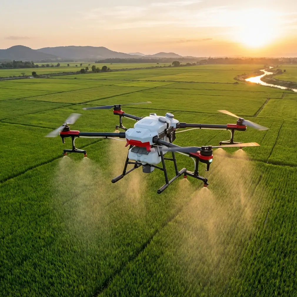
This is where Avata’s compact form factor and low-space launch practicality become relevant. The source material highlights a broad UAV advantage: low environmental requirements for takeoff and landing. Operationally, that means you don’t need a perfect launch zone to start work. In a real urban-fringe mission, that flexibility saves time and reduces setup friction. You can stage from a small clearing, rooftop-adjacent safe area, paved access strip, or controlled perimeter point without building your workflow around a wide runway or oversized support footprint.
That’s not a marketing feature. It’s a planning advantage.
Real-time video is not just convenient—it changes decision quality
One of the strongest details in the reference is the use of high-definition digital image transmission to send sensor-captured imagery or video back to a ground command room in real time. In the railway example, this supports live monitoring of construction progress and safety conditions. For Avata operations, the lesson is simple: the value of the aircraft is multiplied when the video feed informs decisions as they happen, not after the flight.
In an urban-to-forest route, real-time transmission helps with:
- spotting blocked paths or access changes
- identifying people, vehicles, or equipment entering the route
- checking canopy density before pushing deeper
- confirming whether a visual anomaly is harmless shadowing or a real obstruction
- coordinating observers or support staff without sending them blindly forward
This is the part many pilots miss. Flight footage is often treated as documentation. In professional use, it’s really a live decision layer first and a record second.
If you’re flying Avata in a monitoring or training context, build your workflow around the live feed. Don’t think only about what the camera sees. Think about who is watching, what they need to know in the next 30 seconds, and how quickly they can act on that information.
Avata in a mixed environment: what to prioritize first
The source document praises UAVs for being portable, easy to operate, fast to respond, and capable of autonomous flight. Those traits matter most when your operating area is fragmented. Urban edges and wooded sections create exactly that kind of fragmentation.
For Avata, your priority stack should look like this:
1. Route readability
Before launch, divide the mission into environment segments rather than distance segments. Urban wall line. Open gap. Tree edge. Interior corridor. Recovery zone. This is a better way to plan than simply saying “I’m flying 1 kilometer out.”
The railway source emphasizes global oversight. That idea is critical here. You want a mental map of the whole route before you focus on any single segment.
2. Link stability
In dense or transitional terrain, the control and video link become mission-critical. Antenna positioning is one of the easiest performance gains available to Avata users, and it’s usually under-discussed.
For maximum range and feed stability:
- keep the aircraft in the broad face of the antenna pattern, not directly off the weakest edge
- maintain as clear a line of sight as possible when moving from urban structures toward trees
- avoid standing behind vehicles, concrete barriers, steel fencing, or utility cabinets
- raise your controller position slightly when practical rather than operating from a crouched or shielded posture
- if the route bends into canopy, reposition yourself early instead of trying to force the link through foliage
Tree cover absorbs and scatters signal. Buildings block and reflect it. When both appear in the same route, range claims become meaningless unless your antenna orientation is deliberate. Good antenna discipline often does more for operational reliability than pilot confidence alone.
Obstacle avoidance: know where it helps and where it misleads
The context hints include obstacle avoidance, and it deserves a sober reading. In mixed civilian monitoring flights, obstacle sensing can reduce workload in certain phases, especially around obvious foreground hazards. But wooded environments are messy. Thin branches, irregular leaves, contrast-heavy shadows, and partial openings can all complicate perception.
That means obstacle avoidance should be treated as a support layer, not permission to relax.
The better operational model is:
- use obstacle sensing to reduce workload in cleaner approach paths
- slow down before entering any tree-dense channel
- avoid committing to blind forward movement under canopy just because the environment “looks open” in the goggles
- preserve a bailout path behind you whenever possible
In the railway source, UAVs are described as improving timeliness and broad situational awareness. That broad view is the key. Obstacle avoidance helps at the local level. It does not replace route-level judgment.
Subject tracking and ActiveTrack: useful, but only in the right sections
Subject tracking and ActiveTrack can be valuable in civilian route-following, training demonstrations, or progress observation. But they need disciplined use. In urban-to-forest operations, tracking modes are strongest when:
- the subject remains visually distinct
- the route is not highly cluttered
- the objective is continuity, not aggressive speed
- the pilot has clean lateral and vertical margin
If a subject moves from open access roads into tree-shadowed or branch-heavy corridors, tracking reliability can degrade. The mistake is assuming automation will preserve context. It won’t. It preserves a target lock until the environment becomes too ambiguous.
Use tracking where the route allows it. Exit it before the environment demands manual precision.
QuickShots and Hyperlapse are not just creative tools
These features are usually discussed as cinematic extras, but in some civilian workflows they have practical communication value. A clean orbit or reveal can help non-pilots understand the layout of a site. A Hyperlapse sequence can show route activity patterns, cloud shadow shifts, traffic changes, or work progression over time.
This links back to the source document’s emphasis on improving the “global” quality of monitoring. Decision-makers often struggle because field conditions are described in fragments. Short structured aerial captures can explain spatial relationships much faster than verbal updates.
That said, use them selectively. If the environment is signal-constrained or obstacle-dense, documentation should never compete with safe control margin.
D-Log and inspection value
The reference document notes that iFly aircraft can carry multiple payload types, including HD cameras, thermal infrared systems, and oblique cameras. Avata is obviously a different class of platform, but the payload lesson still matters: sensor output should match operational purpose.
When you capture in D-Log or another flatter profile, the benefit is not just “more cinematic footage.” It’s better tonal flexibility when you need to recover shadow detail at forest edges or preserve highlights in bright urban openings. In mixed-light environments, that can make post-flight review more useful for identifying route conditions, vegetation encroachment, or surface changes.
You do not need every flight to be a grading project. But if the mission involves later analysis, capture settings should support information recovery, not just immediate visual appeal.
Endurance lessons from the source document
One concrete figure from the railway solution stands out: it cites endurance reaching 90 minutes for fixed-wing aircraft and 70 minutes for rotary platforms in the iFly lineup. Avata is not that kind of endurance machine, and pretending otherwise leads to poor planning.
The significance of those numbers is not that your aircraft should match them. It’s that endurance class must shape mission design. Large railway monitoring systems can cover long corridors because they are built around longer flight times and specialized payload flexibility. Avata should be used differently: shorter, targeted, information-rich flights rather than broad persistent overwatch.
That makes Avata effective in three roles:
- close-range route verification
- transition-zone scouting
- rapid visual confirmation after a team spots a possible issue
In other words, don’t use a compact FPV platform to imitate a long-endurance corridor aircraft. Use it to solve the parts of the mission where speed, portability, and low launch constraints matter most.
Emergency response thinking without overcomplicating the mission
The source document also mentions UAV use after earthquakes or debris-flow events so railway departments can quickly grasp real-time conditions. The broader civilian takeaway is response speed. If an access route changes suddenly, weather shifts, or a wooded perimeter becomes impassable, a compact drone gives teams immediate visual verification without physically sending someone first.
For urban-to-forest teams, this can support:
- pre-entry checks after heavy rain
- path obstruction review
- visual confirmation of site access
- verification of temporary work zones at the corridor edge
A fast-launch platform becomes most valuable when uncertainty is high and ground movement is slow.
A practical Avata workflow for this mission type
Here is the tutorial version, stripped of fluff:
Pre-flight
Map the route by transitions, not by total distance. Mark likely signal blockers. Choose one primary standing position and one relocation point.
Controller and antenna setup
Face the intended route. Keep antennas oriented for the strongest probable coverage zone. Don’t stand tucked behind urban clutter. If the route bends toward forest cover, move before the signal degrades badly.
Launch and initial pass
Use the first leg to establish route readability, not to rush distance. Confirm visibility, lighting, and control margin.
Mid-route judgment
If open sections permit, use stabilized framing, tracking, or structured QuickShots for situational reporting. If the route begins to compress visually under trees, reduce speed and prioritize manual control.
Data strategy
If review matters later, record with settings that preserve detail in mixed light. D-Log can be useful here.
Recovery
Land while you still have options. Small drones earn their keep by being available for the next short mission, not by overstretching one flight.
The bigger lesson from the railway reference
The most valuable insight in the source material is not about a specific airframe. It’s about why UAVs outperform purely manual monitoring in long, fragmented environments. They improve real-time awareness, reduce blind spots, and help teams understand the full picture instead of isolated ground-level fragments.
That is exactly where Avata can shine when used honestly.
Not as a replacement for every inspection aircraft. Not as a long-endurance corridor platform. But as a nimble visual tool for short-range monitoring, transition-zone verification, and rapid response in complicated urban-to-forest routes.
If you’re building an Avata workflow for this kind of operation and need help sorting out setup details, route planning, or controller placement, you can message a drone specialist here.
The pilots who get the best results usually aren’t the ones chasing maximum specs. They are the ones who understand where compact aircraft create the most decision value. The railway monitoring case makes that clear: live visibility, flexible deployment, and better whole-route awareness beat slow, fragmented observation every time.
Ready for your own Avata? Contact our team for expert consultation.