Avata at High Altitude: A Practical Case Study on Power
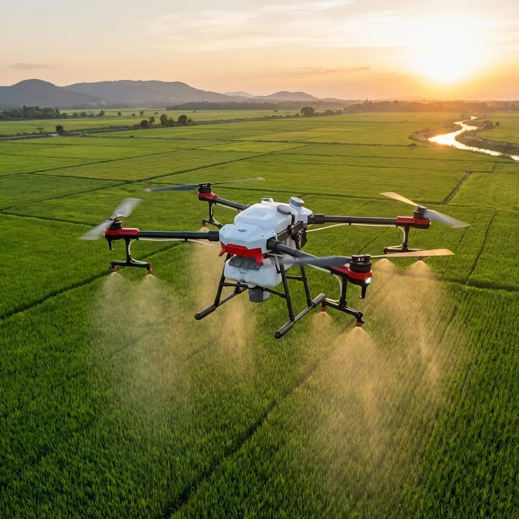
Avata at High Altitude: A Practical Case Study on Power Line Delivery Support
META: A field-driven Avata case study for high-altitude power line delivery support, covering flight altitude, obstacle avoidance limits, D-Log workflow, and safe FPV planning.
When people ask whether DJI Avata fits a power line job in the mountains, the first thing I say is this: stop thinking about it as a heavy-lift delivery aircraft. Think of it as a close-range visual tool that helps a crew move smarter in difficult terrain.
That distinction matters.
I’m writing this from the perspective of a photographer who has spent enough time around drones to know that the wrong airframe in the wrong environment creates false confidence. Avata is not the machine you send to haul equipment over a ridgeline. In a high-altitude power line scenario, its value is different. It can help survey the route, inspect near-span obstacles, confirm access conditions, document line corridors, and support teams that are physically delivering materials in places where walking every meter costs time and energy.
Used correctly, it becomes a compact reconnaissance platform for mountain utility work. Used incorrectly, it becomes an FPV drone trying to do a job it was never built for.
The real mission: delivery support, not payload delivery
The phrase “delivering power lines with Avata” needs a practical rewrite. In civilian utility operations, Avata’s role is best understood as delivery support in high-altitude terrain. That means flying ahead of a field crew, checking the approach to poles or towers, identifying obstructions, documenting wind exposure at saddles and ridges, and capturing visual references that help people carrying cable, tools, or components avoid bad decisions.
This is where the aircraft’s protected design and FPV-style handling start to matter. Avata was built for immersive, close-environment flying. Around utility corridors, that translates into confidence when threading through complex terrain features—rock faces, tree lines, access cuts, and irregular slope transitions. It is not a broad-area mapping platform in the way a larger survey drone might be. It excels when the question is specific: what does the next 200 to 500 meters really look like from the crew’s perspective?
That is a very different use case from generic aerial filming.
Why altitude choice is the key operational decision
For this kind of mission, “optimal flight altitude” is not just about legal ceiling or signal range. It is about how well the drone can reveal hazards without creating new ones.
In high-altitude power line support, the best working altitude with Avata is usually low and intentional rather than high and dramatic. In most route-check passes, staying roughly 10 to 30 meters above local terrain or obstacle height gives the pilot the most usable information. That band often provides three things at once:
- A clear view of foot access and vegetation encroachment
- Enough separation to read terrain contours and wire approach paths
- Better visual interpretation than a higher pass that flattens the scene
Go too low and terrain closure rates become harder to judge, especially in goggles, particularly when light is uneven on mountain slopes. Go too high and the crew loses the practical detail they actually need: where the ground shelves, where a narrow path disappears, where a pole approach is blocked by brush, where a line corridor pinches near trees.
For obstacle-rich segments near structures or conductors, I’d narrow that further. A careful 15 to 20 meter offset above the dominant obstacle plane, while maintaining safe lateral separation from infrastructure, often produces the cleanest situational awareness. That gives Avata enough room to maneuver while preserving the depth cues that matter in steep country.
The reason this matters operationally is simple: mountain utility work is full of false terrain reads. A path that looks accessible from a high pass can turn into a dangerous scramble when viewed from the wrong angle. Avata’s sweet spot is the altitude where perspective still tells the truth.
Obstacle avoidance is helpful, but this is not a “set and forget” environment
A lot of pilots hear terms like obstacle avoidance and assume the drone will save every bad line choice. In a power line corridor, especially at high altitude, that assumption is risky.
Avata’s sensing and flight-assist behavior can be useful in close environments, but utility routes combine some of the worst visual conditions for overreliance on automation: thin conductors, changing light, terrain shadow, irregular vegetation, and sudden elevation changes. Fine wires are notoriously difficult for many systems to interpret consistently. The pilot should treat obstacle support as a layer of assistance, not as primary protection.
That has direct significance for power line support work. If you are inspecting access around lines, the safest visual strategy is to avoid line-of-flight paths that place conductors directly in your closure vector. Cross-angle observation is usually more readable than chasing straight toward a span. In practical terms, that means using Avata to look across the corridor or along a safe offset rather than pushing head-on into visually cluttered sections.
This is also where Avata’s compact frame helps. If you need to evaluate a narrow corridor edge, a small FPV platform is often easier to position delicately than a larger camera drone. But the pilot workload goes up, not down. Protected propellers do not remove the need for disciplined route design.
A field case: supporting a ridge approach
Let me sketch a realistic case study.
A utility crew needs to move line materials to a tower approach in mountain terrain. The issue is not long-distance transport by drone. The problem is choosing the safest and least wasteful approach for a ground team at elevation. The weather window is short. Winds are building after midday. The crew wants to know whether the eastern traverse is still passable and whether the final approach to the structure is blocked by seasonal growth.
This is where Avata makes sense.
The first pass is flown below ridgeline crest level, not above it. That choice reduces exposure to stronger crosswinds and rotor effects that often intensify at the top edge of mountain features. The aircraft tracks the access route with a modest terrain-following profile, staying around 15 meters above local ground where possible. That height is enough to preserve a realistic feel for slope angle and footing conditions.
The second pass is flown on a lateral offset to the corridor, not directly toward the line. This gives the pilot a better read on vegetation density and approach clearance while keeping a safer geometry around infrastructure. Short clips are captured in D-Log rather than a baked-in contrast-heavy profile. That detail matters more than many people realize. In mountain work, shadow and highlight extremes can hide exactly the things crews care about—ruts, loose rock, branch intrusion, and narrow path transitions. D-Log preserves more grading flexibility later, making it easier to pull usable detail from harsh light scenes.
That is not a filmmaking luxury. It is operationally useful documentation.
After the route pass, the crew reviews footage and decides to shift to the western side for the final ascent. The decision saves a wasted climb and reduces time spent carrying gear through unstable footing. Avata did not “deliver” the line. It delivered better judgment.
What the camera features are actually good for here
Many feature lists get treated like brochure filler. In a utility support context, some of them become more meaningful.
D-Log for terrain readability
As mentioned above, D-Log is valuable when bright sky and dark terrain exist in the same frame. High-altitude work often produces exactly that contrast. If your goal is route analysis rather than social media color, preserving tonal information matters. A graded clip can reveal branch encroachment, rock texture, and path edges that look crushed or blown out in a standard high-contrast look.
Hyperlapse for weather and access pattern documentation
Hyperlapse is not the first thing people associate with utility support, but it can be surprisingly useful for documenting moving cloud cover, crew access patterns, or changing visibility at a mountain site. A short hyperlapse sequence from a safe staging point can help communicate how conditions evolve over a morning window. For planning briefings, that can be more persuasive than a single still frame.
QuickShots: limited practical value, with one exception
QuickShots are mostly a creative convenience, and in infrastructure environments I would not make them a core tool. The exception is when a team needs a fast, repeatable contextual shot of a staging area or approach zone for briefing purposes. Even then, manual control is usually the better choice.
ActiveTrack and subject tracking: use restraint
The idea of subject tracking sounds attractive if you want to follow a crew hiking materials uphill. In practice, this is one of those features that needs a cool head. On a mountain utility route, terrain changes, branches, and corridor clutter can complicate automated tracking behavior. I would use tracking only in open, low-risk sections where the pilot has broad visual margin and the purpose is documenting movement rather than navigating complex proximity. It is a support feature, not a replacement for manual piloting.
Wind, thin air, and battery realism
High-altitude flying changes the margin stack.
Air density drops as elevation rises, and while Avata can still operate effectively within its intended envelope, pilots should expect less forgiving behavior in strong wind and more sensitivity to aggressive maneuvers. That is one reason the “lower than you think” flight profile often works better near mountain routes. Staying tucked closer to terrain—while maintaining safe clearance—can reduce exposure to stronger airflow found above ridges and saddles.
Battery planning also has to become stricter. Cold temperatures at altitude, repeated climbs, and headwind return legs can compress useful flight time faster than pilots expect. The answer is not to squeeze every minute out of a pack. It is to divide the mission into short, high-value passes with a conservative return threshold.
That approach also improves footage quality and crew decision-making. Short flights produce clearer objectives: check the eastern traverse, confirm the final 100 meters, capture a lateral corridor view, return. No wandering. No sightseeing.
The best workflow for utility crews using Avata
If I were setting a repeatable workflow for this exact scenario, it would look like this:
- Launch from a stable staging area below the main ridge if possible.
- Fly the first route pass at roughly 10 to 30 meters above local terrain, adjusting for obstacle density.
- Avoid direct approach lines toward conductors; favor lateral or offset observation angles.
- Capture critical route footage in D-Log for later detail recovery.
- Use manual flight for complex sections rather than leaning on tracking modes.
- Keep passes short and purpose-built to preserve battery margin.
- Debrief footage immediately with the field team so route decisions happen while conditions are still current.
If a crew needs help translating that into a site-specific operating plan, a direct field discussion is usually more useful than generic online advice; I’d point them to this quick coordination channel: message the team here.
The bottom line on Avata for high-altitude power line work
Avata is at its best in this scenario when it is treated as a close-range aerial scout for difficult terrain. Not a transport platform. Not a substitute for utility-specific inspection aircraft. Not an excuse to fly closer to infrastructure than good judgment allows.
Its operational strengths are clear: compact handling, strong visual immersion, useful low-altitude route reading, and camera tools like D-Log that preserve detail in harsh mountain light. Its limitations are equally clear: obstacle sensing is not a guarantee around wires, automated tracking should be used cautiously, and high-altitude conditions narrow the margin for sloppy planning.
If your objective is to support the delivery of power line materials in steep country, the smartest altitude is usually not the highest one available. It is the height that gives the crew truthful information. For Avata, that often means a deliberate low-to-mid profile—high enough to read the terrain, low enough to keep the route real.
That is where this drone earns its place on the job.
Ready for your own Avata? Contact our team for expert consultation.