Avata in the Wind: A Field Report for Construction
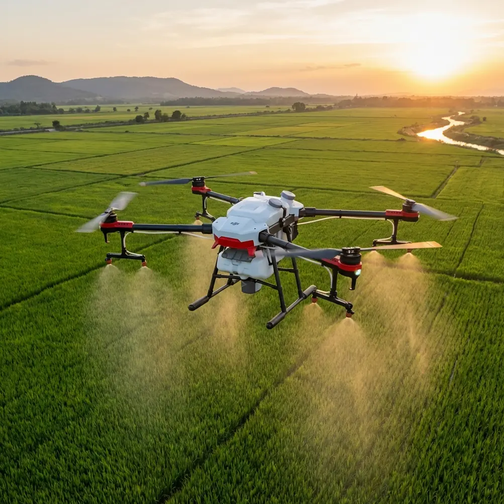
Avata in the Wind: A Field Report for Construction-Site Filming in Hubei’s Low-Altitude Buildout
META: Expert field report on using DJI Avata for windy construction-site filming, linked to Hubei’s 2025 low-altitude aviation push, flight service platforms, obstacle avoidance, D-Log, and safe commercial operations.
I spend a lot of time around job sites where the air never really sits still.
Open steel frames create weird cross-currents. Tower cranes redirect gusts. Fresh concrete decks radiate heat. On paper, a drone only needs camera quality and enough control authority to stay where you put it. In real operations, especially when you’re documenting construction progress in windy conditions, that standard is too low. You need a platform that can keep footage usable when the environment is trying to spoil every shot.
That is where Avata becomes interesting—not as a generic FPV toy, but as a practical camera aircraft for controlled, repeatable work in low-altitude commercial environments.
And right now, that matters more than it would have a year ago.
Hubei’s 2025 low-altitude development push is not just a policy headline. The province is actively expanding low-altitude use cases into logistics, inspection, emergency response, and sightseeing, while building what has been described as a multi-functional low-altitude “three-dimensional network.” At the center of that effort is the provincial flight service platform being advanced by Hubei Province Low-Altitude Integrated Service Co., under guidance from the Hubei Development and Reform Commission and coordinated by Hubei Airport Group. Operationally, this is a big deal. It signals that low-altitude activity is moving away from fragmented ad hoc flying and toward coordinated airspace support, service layers, and scalable use.
For construction imaging crews, that shift changes the value of the aircraft you choose.
Why Avata fits this moment
A windy construction site is a narrow test of competence. The aircraft has to do three things at once:
- stay controllable in disturbed air,
- maintain image continuity near structures,
- reduce pilot workload enough that the operator can think like a cinematographer, not just a survivalist.
Avata is strong here because its design priorities are closer to “protected close-range capture platform” than “delicate aerial camera.” That distinction matters around unfinished buildings, scaffold lines, façade openings, temporary barriers, and crane access lanes.
Competitors in the small camera-drone class often do better on broad scenic tripod-style flight. Where Avata tends to excel is in proximity work where a pilot needs confidence threading around partially completed architecture or following linear paths beside structural elements. On a windy site, the benefit is not just excitement or immersion. It’s shot completion. You get more usable passes before the weather, obstructions, or pilot fatigue start eroding consistency.
Wind on site is not just wind
People who haven’t filmed construction environments often think of wind as a single number. That’s not how it behaves.
A high-rise shell can produce rolling turbulence on one side and relative calm on the other. Elevator cores funnel air. Parapets kick gusts upward. Gaps in cladding can create suction effects that disturb a drone just when the pilot is trying to hold a clean reveal shot.
This is where Avata’s enclosed-prop format and close-in handling become operational advantages. You’re not only fighting ambient weather. You’re navigating micro-environments around physical obstacles. In these conditions, obstacle awareness and stable maneuvering are more valuable than raw straight-line speed.
That is also why the LSI buzzwords people throw around—obstacle avoidance, subject tracking, QuickShots, Hyperlapse, D-Log, ActiveTrack—need a reality check in the field. On construction work, these are not “nice extras.” They determine whether the aircraft supports a repeatable workflow.
Obstacle handling matters more than spec-sheet bravado
Let’s start with obstacle awareness.
On a site survey or progress video assignment, pilots are often asked to capture movement around rebar cages, curtain wall frames, temporary stair towers, and rooftop plant areas. These spaces are visually complex and physically unforgiving. A small bump with an unprotected propeller can end a flight and delay a deliverable.
Avata’s protected design buys margin. That margin is not permission to fly carelessly; it is what lets a skilled operator work closer to structures while maintaining safer control in turbulence. Against many conventional compact drones, Avata can feel less fragile near hard edges and tighter access routes. That’s one reason it stands out for construction storytelling. It gives crews a practical way to capture “inside the build” perspectives without stepping immediately into the highest-risk flight profile.
For clients, the significance is simple: fewer interrupted takes, fewer aborted passes, and fewer schedule disruptions when site access windows are short.
D-Log is what saves your footage at noon
Most construction documentation happens when the site is active, not when the light is perfect. That means harsh midday contrast, reflective glass, bright concrete, shadowed service zones, and constantly shifting exposure.
D-Log becomes valuable here because it preserves more grading flexibility across these uneven scenes. On a windy day, the pilot often does not get endless retries. If the aircraft manages a good line once, the footage needs enough latitude in post to recover detail in the sky, pull back highlights from pale surfaces, and maintain usable separation in darker recesses.
This is one of those features that sounds abstract until you’re editing a site sequence with a white tower crane against bright cloud and a dark podium slab below. Standard profiles can force ugly compromises. D-Log gives post-production room to balance the frame so the project actually looks like a professional build, not a surveillance clip.
If your workflow involves weekly or monthly progress films, that consistency becomes even more important. Clients want continuity from visit to visit. D-Log helps maintain a visual standard even when weather, angle of sun, and surface reflectivity change.
ActiveTrack and subject tracking: useful, but only when used with discipline
Construction filming sometimes involves tracking moving subjects: a site buggy, a supervisor walk-through, a façade access team, or a logistics route through the project perimeter. Subject tracking tools can help, but they should never be treated as “set and forget” in dense built environments.
Used correctly, ActiveTrack or related subject-tracking functions reduce pilot workload during simple, pre-visualized movement sequences. That lets the operator focus on composition and speed control rather than making every tiny directional correction manually. In wind, that support can make the difference between a smooth pass and one ruined by overcorrection.
Used badly, they create false confidence.
My rule is straightforward: use tracking for controlled, open-path segments; switch back to tighter manual supervision near cranes, suspended loads, narrow steel corridors, or cluttered rooftop services. Avata is at its best when its assistance features support pilot judgment rather than replace it.
QuickShots and Hyperlapse are not gimmicks on commercial jobs
A lot of professionals dismiss QuickShots and Hyperlapse because they associate them with social content. That misses the point.
For a construction client, standardized motion templates can be useful when they speed up repetitive capture tasks without sacrificing visual quality. A predictable reveal around a completed façade edge, or a repeatable orbit showing floor-by-floor progress, has documentation value. When done consistently across a project timeline, those shots help stakeholders compare milestones more easily.
Hyperlapse, in particular, can work well on large developments where the client wants to show traffic flow, crane sequencing, or evolving site activity. It condenses complexity. For mixed-use or infrastructure-adjacent builds, that can communicate operational context much better than still photos alone.
The real advantage is efficiency. On a site with limited access periods, the less time you spend reinventing standard sequences, the more time you can dedicate to hero shots and technically difficult passes.
What Hubei’s 2025 push means for Avata operators
Now let’s connect the aircraft to the larger low-altitude environment in Hubei.
The provincial strategy emphasizes “strengthening R&D, expanding markets, and cultivating leading enterprises,” alongside a coordinated “three-in-one” advancement model. Those are not abstract policy phrases if you operate drones commercially. They point toward a maturing ecosystem where aircraft operations, service infrastructure, and application demand develop together.
The planned provincial flight service platform as a “smart hub” is especially significant. Construction-site flying in urban or semi-urban zones benefits when low-altitude traffic management becomes more structured. Better coordination can improve predictability around approvals, route planning, operational visibility, and multi-party airspace use. If Hubei continues building out that support layer while expanding low-altitude scenarios across logistics, inspection, emergency support, and tourism, construction imaging operators will be working in a more integrated aviation environment—not a patchwork one.
That makes Avata more relevant, not less.
Why? Because as the low-altitude economy professionalizes, demand increases for aircraft that can handle niche but high-value visual tasks safely and efficiently. Large enterprise drones will cover heavy mapping, corridor inspection, and broader industrial payload work. Avata fills another role: dynamic close-range visual capture in constrained spaces where conventional project documentation still looks flat.
It is a specialist tool that benefits from a more organized ecosystem.
A realistic windy-day workflow
Here’s how I’d deploy Avata on a Hubei construction assignment when the wind is active:
First, establish a safe outer perimeter and read the building’s airflow patterns before trying any close runs. Watch crane lines, dust movement, safety netting, and loose sheeting. They tell you more than a generic weather app.
Second, capture your essential wide establishing footage early, while batteries are fresh and the pilot is mentally fresh. If the site has a clean skyline relationship with surrounding transport corridors or urban density, get that first.
Third, move into structural storytelling. Fly along slab edges, under protected overhangs where appropriate, through open framework sections only when the geometry is fully visible and the path is pre-planned. This is where Avata often outperforms more conventional rivals in practical confidence.
Fourth, record in D-Log whenever the contrast range is severe and you know the footage is heading into a proper post workflow.
Fifth, use tracking and automated modes selectively, not religiously.
And sixth, never let cinematic ambition outrun site coordination. On serious commercial work, the quality of the relationship with the site manager is often as important as the aircraft.
If you’re sorting out a site-specific capture plan or accessory setup, I’d point crews to this direct project coordination channel because getting the workflow right before arrival saves much more time than tweaking it on a live site.
Where Avata beats alternatives—and where it doesn’t
Avata is not the right answer for every construction brief.
If the job is primarily orthomosaic mapping, precision measurement, or long-duration broad-area progress capture, other platforms make more sense. If the project demands heavy zoom inspection from standoff distances, you’ll likely reach for a different tool.
But if the brief is to create convincing, near-structure footage in wind, with a pilot needing confidence around obstacles and a camera profile that can survive ugly midday lighting, Avata is unusually well matched.
That is where it separates itself from many competitors. Not by trying to win every category, but by being more useful in the exact moments that usually break a construction shoot: turbulent air near structures, tight access, visual clutter, and the need for footage that feels immersive without becoming reckless.
The bigger picture
Hubei’s low-altitude development story in 2025 is about system-building. A province known for connectivity is now applying that same logic to the sky: coordinated support, expanded use cases, and a low-altitude network that serves logistics, inspection, emergency functions, and tourism. Construction imaging sits naturally inside that broader expansion because every major build needs reliable visual intelligence and stakeholder communication.
Avata fits this environment well. It is not a policy symbol. It is a field tool. But field tools are what turn strategy into visible results.
On windy construction sites, that visibility has to be earned shot by shot.
Avata earns it when the mission calls for controlled proximity, resilient capture, and footage that can still be shaped properly in post. In a province investing in a smarter low-altitude framework, that kind of practical performance is exactly what moves a drone from hobby association into serious commercial relevance.
Ready for your own Avata? Contact our team for expert consultation.