How I’d Film Dusty Vineyards with Avata Without Losing the S
How I’d Film Dusty Vineyards with Avata Without Losing the Story in the Dirt
META: A practical Avata field guide for filming vineyards in dusty conditions, with camera workflow, antenna positioning, flight planning, safety habits, and lessons borrowed from professional mapping UAV operations.
Dust changes the job.
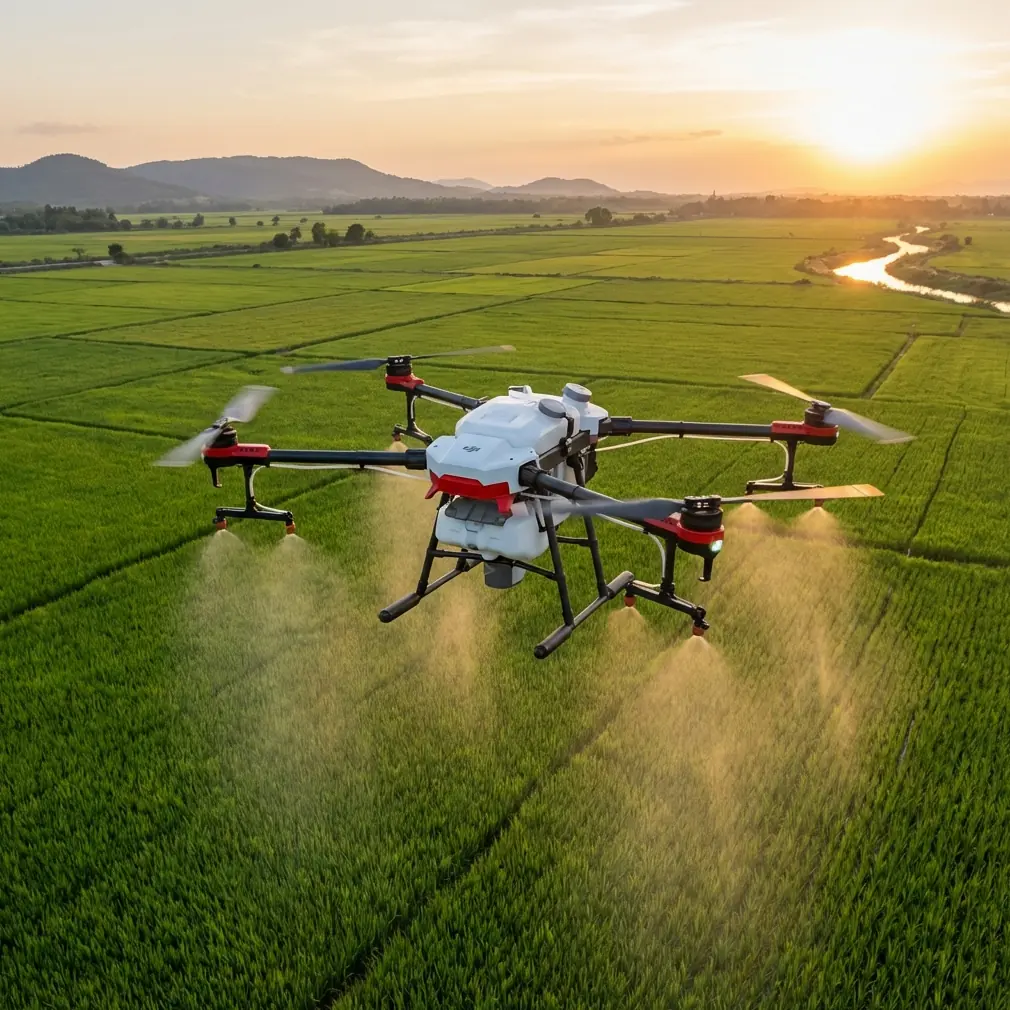
Anyone who has spent a day filming vineyards in late summer knows the look: pale soil lifting under boots, service roads throwing fine powder into the air, and long rows of vines creating repetitive geometry that can either become cinematic rhythm or visual monotony. The DJI Avata is a strong tool for this kind of environment because it can get low, move through tight corridors, and produce a sense of presence that larger platforms often can’t. But dusty vineyard work also punishes sloppy setup. If you want stable footage, clean signal, and a useful shooting plan, you need to think a little more like a survey crew than a casual content creator.
That may sound strange for an FPV-style drone. It shouldn’t.
One of the more useful lessons from professional rural land-rights and mapping workflows is that the aircraft is only part of the system. In the reference material, the value of UAV operations is tied not just to flying, but to producing usable data efficiently, with centimeter-level precision and far less field labor than traditional manual surveying. That principle translates surprisingly well to Avata vineyard filming. Your flight is better when every pass has a purpose, every angle supports a story, and every setup reduces wasted re-flying in heat and dust.
So this is not a generic “go fly at golden hour” article. This is how I would actually approach filming vineyards with Avata when the ground is dry, the air is dirty, and range discipline matters.
Start by planning the vineyard like a grid, not a backdrop
Vineyards tempt pilots into improvisation. The rows look beautiful, so you launch and start weaving. Sometimes that works. More often, you come home with ten versions of the same low corridor shot and no usable sequence.
Professional UAV operators solving land documentation problems don’t work that way. They think in coverage patterns. The source material specifically highlights how aerial systems improve efficiency for large-scale topographic output, reducing traditional fieldwork while maintaining high precision. For Avata work, that means your vineyard shoot should be broken into functional segments before takeoff:
- entry establishing shots
- row-following passes
- reveal moves over elevation changes
- texture details on grapes, leaves, and dust
- operator or worker context shots
- exit shots that show scale
This kind of structure matters operationally because dust is cumulative. The longer you stay indecisive on the ground or hover in one working area, the more likely your lens, body shell, and cooling pathways pick up grime. A planned sequence keeps battery use efficient and limits unnecessary landings in dirty zones.
If the vineyard is extensive, I divide it into blocks the same way a mapping crew would divide work into sectors. Not because Avata is a mapping drone. It isn’t. But because visual consistency improves when each block has a defined angle language: one block for low longitudinal tracking, another for elevated diagonal movement, another for orbit-style reveals around a lone tree, truck, or farmhouse edge.
Dusty conditions change where you launch from
In vineyards, the easiest launch spot is often the worst one. Loose road dust, pulverized soil between rows, and vehicle traffic all increase contamination risk.
A good rule: launch from the cleanest stable surface available, even if it adds a short walk.
I prefer:
- compact ground rather than powdery topsoil
- the upwind side of the work area
- a spot clear of vehicle movement
- enough space to avoid kicking up dust during takeoff and landing transitions
This sounds basic, but it has a direct impact on footage quality. Dust on the lens won’t always be obvious on a small preview. Once you review files on a larger monitor, the haze and flare artifacts show up immediately, especially in vineyard scenes where sunlight often skims leaves from the side.
The reference material describes professional aircraft with small-rain tolerance and Level 6 wind resistance in some configurations. Avata is not a substitute for those platforms, but the lesson is useful: environmental tolerance should be treated as a planning parameter, not a license to push conditions. In dusty vineyards, the operational equivalent is this: just because you can launch doesn’t mean you should launch from the dirtiest possible spot or fly through every dust plume for dramatic effect.
Antenna positioning is where many vineyard flights quietly fail
You asked for antenna positioning advice, so here’s the version that actually matters in the field.
Vineyards create a deceptive radio environment. The rows seem open, but the terrain often rolls gently, trellis lines can create visual clutter, and if you dip too low behind a rise or dense vegetation wall, signal quality can degrade faster than expected. Add dust, bright sun, and a moving body position from the pilot, and range issues appear long before the official specification matters.
My approach:
Keep the line of sight honest
Do not evaluate line of sight from where the drone is now. Evaluate it from where your next three maneuvers will put it. If you intend to run low between vine rows and then flare up behind a slope, position yourself before launch so the full route remains as open as possible.
Face the aircraft’s working zone, not your gear bag
This sounds silly until you watch pilots twist sideways while chatting or checking a monitor. Your body can partially block the best orientation. Stay squared toward the main operating area.
Don’t point the antenna tips directly at the drone
For most consumer drone antenna systems, the strongest region is not typically straight off the tip. You generally want the broadside orientation aligned with the aircraft’s position rather than “aiming” the ends like a laser pointer. In practice, that means adjusting your controller and goggles posture so the effective signal pattern faces the drone’s path.
Gain a little elevation if the site allows it
Even a modest increase in pilot position helps. A small rise, terrace edge, or stable elevated spot can make a real difference when flying low down vine corridors. This is one reason fixed-wing survey systems in the source can operate with large control radii such as 20 km for the iFly U3 and 10 km for the iFly D1 in their respective setups: the overall mission system is designed around coverage geometry and communication discipline. For Avata, you won’t be anywhere near those distances in a vineyard shoot, but the operational significance remains the same. Signal quality is governed by positioning and path planning, not hope.
Reposition yourself between sequences
If one side of the vineyard requires you to fly behind tree lines, stone structures, or terrain undulations, move. Don’t force a compromised radio path for the sake of convenience.
If you need a quick field checklist for signal setup and shoot planning, I’d send this sort of note to a client or assistant here: message me directly on WhatsApp.
Use Avata’s strengths where survey aircraft would struggle
The reference UAVs are built for endurance and task efficiency. One fixed-wing model listed there reaches 90 minutes of endurance, supports catapult launch, and uses pinpoint parachute recovery to complete mapping work quickly over large areas. That tells you what those aircraft are for: scale, repeatability, coverage.
Avata serves a different layer of the vineyard story.
It shines when you need:
- intimate movement through rows
- low-angle perspective near grape clusters
- dynamic transitions from ground texture to canopy
- movement around workers, tractors, bins, or tasting structures
- immersive reveal shots that communicate terrain and spacing
This distinction is useful because it keeps you from forcing the wrong flight style. If you try to use Avata like a broad-area survey platform, you’ll end up with repetitive footage and unnecessary battery stress. If you use it for what it does best, it becomes a storytelling instrument.
I like to think of fixed-wing mission logic and Avata cinema logic as complementary. The survey mentality gives you discipline. Avata gives you emotional proximity.
My preferred shot sequence for dusty vineyard work
Here’s a sequence that works consistently.
1. High-context opener
Start slightly elevated, not too fast. Show the row geometry and land contour. If the light is low, let the shadows define the pattern. Avoid immediate aggressive acro-style movement unless the project specifically wants that tone.
2. Row-entry pass
Drop to a safe low level and enter between rows with a stable forward line. This is where obstacle awareness matters most. Vineyard wires, posts, irrigation hardware, and irregular branch growth can punish overconfidence.
If your Avata setup offers obstacle-related protections or you are using supported intelligent modes in open sections, treat them as support tools, not permission to get careless. In many vineyard corridors, manual precision still wins.
3. Side-drift texture move
Translate laterally across rows to show repeating vine structure. Dust hanging in low light can actually help here by giving sunbeams visible atmosphere, but only if you aren’t flying directly into a thick cloud kicked up by vehicles.
4. Reveal to horizon
Climb out of the rows and open the frame to show the property scale. This is where D-Log can be useful if you need more flexibility balancing bright sky with darker vine lanes during grading.
5. Human context
If workers are present and the shoot is staged safely, make one or two passes that connect labor to landscape. That instantly gives the footage purpose.
6. Detail inserts
Land, clean if needed, then relaunch for close visual fragments: dust on leaves, bins, wheel tracks, bunches, hands. Not every shot should be moving fast.
What about ActiveTrack, QuickShots, and Hyperlapse?
These features can help, but vineyards expose their limits.
ActiveTrack can be useful on a worker or vehicle moving along a service path, especially when the environment is open and predictable. I would avoid relying on it deep inside dense rows where vertical posts and lateral wires create clutter and sudden occlusions.
QuickShots can be handy for fast social deliverables around a tasting deck, farmhouse edge, or isolated feature at the vineyard perimeter. They are less compelling in repetitive row interiors unless composition is very carefully chosen.
Hyperlapse has real value if the brief includes tourism, seasonal atmosphere, or showing the vineyard transitioning from morning prep to afternoon activity. Dust can actually enhance depth in a hyperlapse if the air is luminous rather than dirty. The key is not overdoing motion blur in scenes with fine repetitive geometry.
These tools are best treated as supplements. Your core footage should still come from intentional manual flights.
Camera profile and grading choices for dusty light
Dusty scenes often fool pilots into thinking they need maximum contrast. Usually the opposite works better.
A flatter capture profile such as D-Log, where available in your workflow, gives you more room to manage the bright chalky highlights that bounce off dry roads and pale soil. Vineyard greens can clip into ugliness fast when you push a standard look too hard in camera.
My grading target for dusty vineyards:
- preserve leaf separation in midtones
- keep soil warm but not orange
- retain atmosphere without making the image look hazy by accident
- avoid crushing the vine-row shadows, because that kills depth
Dust is not just a problem. It can be visual structure. But only if exposure is controlled.
The boring habits that save the footage
The source material emphasizes field efficiency and robust deployment, including one aircraft with a 10-minute setup time and autonomous takeoff and landing. That’s a reminder that workflow discipline matters as much as aircraft capability.
For Avata, my “boring habits” are:
- inspect the lens before every launch
- keep a clean landing pad or hand-launch/hand-recovery plan where safe and legal
- swap batteries away from blowing dust
- review sample clips on a larger screen whenever possible, not just goggles confidence
- pause between flights to check vents and body seams for buildup
- avoid landing in the same dusty track where vehicles just passed
Operationally, these small steps do the same thing that professional survey workflows aim to do: reduce rework. In vineyard filming, rework costs light, batteries, and patience.
The real trick: stop chasing every row
The best vineyard Avata footage usually comes from restraint.
You do not need to fly every aisle. You do not need to scrape every leaf line. You do not need to prove the drone can squeeze through every gap. Dusty vineyard work rewards selective flying: a few clean corridor passes, one elegant reveal, one contextual human moment, and thoughtful inserts.
That’s also where the mapping reference becomes surprisingly relevant. The goal is not “more flight.” The goal is efficient capture that produces useful output. In surveying, that output may support planning decisions. In your Avata project, the output is a coherent visual story of terrain, cultivation, rhythm, and atmosphere.
If you approach the vineyard with that mindset, Avata stops being just a fun machine and becomes a disciplined creative tool.
Ready for your own Avata? Contact our team for expert consultation.