Avata in Tight Urban Inspections: A Field Case Study
Avata in Tight Urban Inspections: A Field Case Study on Seeing More Without Pushing the Airframe Too Far
META: A practical Avata case study for urban field inspections, covering obstacle avoidance limits, D-Log workflow, QuickShots, Hyperlapse, ActiveTrack considerations, and a useful third-party accessory.
Urban inspection work asks odd things of a drone. One minute it needs to skim a fence line between utility poles, the next it has to hold a steady visual read on drainage, roofing edges, cracked concrete, tree encroachment, or irrigation hardware tucked beside buildings. That mix of cramped space, cluttered backgrounds, and unpredictable signal reflections is exactly where the DJI Avata becomes interesting.
Not because it is perfect. It isn’t. And not because it replaces a larger mapping platform. It doesn’t. The reason Avata deserves attention in this setting is simpler: it lets a pilot work close to structures and terrain with a level of confidence and visual immediacy that changes how a short inspection can be executed.
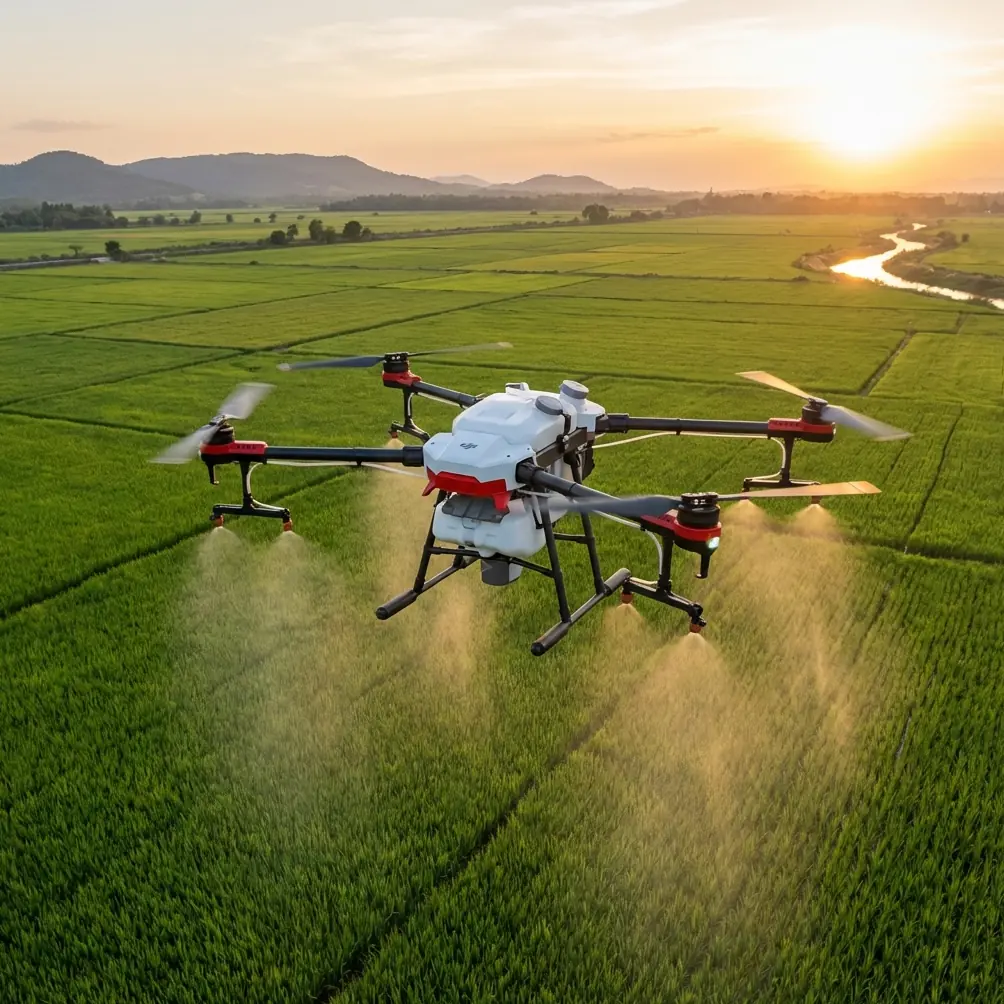
This case study looks at Avata through a very specific lens: inspecting fields in urban environments, where open land meets roads, walls, sheds, parking areas, utility runs, and narrow access paths. That hybrid terrain creates a different risk profile from both pure agriculture and pure city flying. You are not just documenting crops or assets. You are navigating transition zones.
Chris Park, approaching the aircraft as a creator with practical field priorities, would likely frame the question this way: can Avata capture inspection-grade visual information in places where larger drones feel awkward, without turning every sortie into a high-workload manual exercise? In the right scenario, yes. But the answer depends on understanding where its signature strengths actually matter.
The first operational advantage is physical attitude, not headline specs. Avata is at its best when the route is constrained. Urban field inspections often involve flying beside retaining walls, through service lanes, under tree cover at the edge of plots, or around low structures where a more traditional photography platform feels oversized. Avata’s ducted design gives the pilot a margin that matters. It does not make contact acceptable, but it changes the consequences of minor brush-ups in close quarters. In inspection work, that can be the difference between completing a pass and aborting after a light touch with a branch tip or a hanging cable shadow misread.
That design becomes more valuable when paired with obstacle awareness habits rather than blind faith in obstacle avoidance. Many buyers hear “obstacle avoidance” and assume the drone will actively solve urban complexity for them. That is the wrong mental model. In a cluttered environment, especially one filled with thin lines, layered fencing, bare branches, and reflective surfaces, no pilot should delegate judgment to automation. The operational significance of obstacle sensing is not that it makes close inspection effortless. It reduces exposure when the visual environment gets noisy, and it buys time during slow, deliberate movement. That is a meaningful distinction. In a real inspection near chain-link boundaries or alley-side service runs, a second or two of margin can prevent a rushed corrective input.
The second big factor is perspective. Avata is unusually good at turning inspection footage into spatial understanding. A standard top-down or standoff shot can show that a problem exists. Avata can show how that problem sits inside the environment. For urban-adjacent fields, that matters when documenting runoff paths, blocked drainage transitions, wall separation, overgrowth near access points, or unauthorized dumping in hard-to-reach corners. The aircraft can move low, then rise and pivot through the scene, giving decision-makers a more intuitive read on cause and consequence.
This is where QuickShots and Hyperlapse become more useful than many inspection teams expect. On paper, those features sound creative rather than technical. In practice, they can compress context. A short automated reveal can establish how a drainage ditch connects to a parking edge and then to a low-lying cultivated strip. A Hyperlapse sequence can show changing shadow, traffic adjacency, or water movement patterns across a site over time. The footage is not a survey deliverable, but it can become a valuable briefing tool. If the person reviewing the site is not a pilot or engineer, visual comprehension often matters as much as raw detail.
That said, QuickShots are only useful when the airspace geometry supports them. Urban field edges can be hostile to automation. Trees, poles, rooflines, and moving vehicles all reduce safe margins. The smarter use is selective: deploy automated moves only where the scene is already clear and predictable, then return to manual or semi-manual positioning for the actual inspection pass. Treat the feature as a framing tool, not a shortcut.
Image workflow is another reason Avata punches above its apparent category. D-Log gives experienced operators more room in post when shooting difficult contrast, which urban sites produce constantly. Bright concrete, dark tree cover, reflective roofing, shaded culverts, and sunlit grass can all live in the same frame. A standard profile may clip highlights on rooftops or lose shadow texture where cracks, pooling, or surface deterioration need to be seen. D-Log does not magically recover a badly exposed shot, but it expands grading flexibility enough to preserve inspection-relevant information when the scene’s dynamic range gets messy.
That is not just an editor’s preference. It has direct operational value. If you are documenting a retaining wall at the edge of a developed lot, for example, small tonal differences can help reveal moisture staining, erosion paths, or structural inconsistency. If you are checking irrigation near paved access roads, balanced detail in both bright and shaded zones makes the footage more credible to whoever has to act on it later. In short, D-Log helps the drone’s visual output survive the complexity of urban light.
Now to the feature that many people ask about first: subject tracking, often wrapped in the broader conversation around ActiveTrack. This is where discipline matters. For urban field inspection, tracking is not the core mission tool some assume it will be. If a ground vehicle, worker, or maintenance cart needs to be followed across an open service route, automated tracking can help maintain framing. But close to structures, fencing, and vertical obstructions, the pilot should be skeptical. Tracking tools are at their best when the scene is readable and escape routes are obvious. Urban edge inspections are often neither. The operational takeaway is simple: ActiveTrack-style functionality is useful for documenting movement through a site, but it should not be the backbone of a close-proximity inspection plan.
One upgrade that genuinely improved this kind of work in the field was a third-party strobe accessory mounted for visibility during low-light perimeter checks. In this case, adding a compact FAA-compliant strobe from a brand like Firehouse Technology enhanced situational awareness far more than any cosmetic add-on ever could. That matters during early morning or late afternoon inspections, when urban shadows lengthen fast and the drone can disappear against dark facades or tree lines. The strobe did not make the aircraft safer by itself; what it did was improve visual acquisition for the pilot and observer, reducing the chance of losing orientation during a repositioning leg near structures. For practical operators, that is a real capability gain.
There is a deeper lesson in that accessory choice. The best Avata upgrades for inspection are rarely about speed or style. They are about visibility, endurance management, payload discipline, and transport readiness. A drone used in mixed urban terrain must be deployable quickly, readable in difficult light, and easy to recover without drama. A small accessory that helps keep the aircraft visually pinned in space can do more for mission quality than a long list of speculative extras.
A representative mission helps tie these points together. Imagine a narrow urban field parcel behind a row of light industrial units. The site includes a drainage swale, chain-link perimeter, stacked materials near one edge, intermittent tree overhang, and a worn access lane with signs of runoff cutting. A larger drone could inspect the area from above, certainly. But above is not enough. The client wants to know how water is moving, where obstructions are forming, and whether the boundary condition near the buildings is degrading.
With Avata, the pilot can begin with a higher contextual pass to establish the site layout. A restrained QuickShot-style reveal, if space allows, gives a clean opener showing the relation between buildings, lane, and field edge. From there, the aircraft drops low and slow. It tracks along the swale at a controlled pace, holding enough altitude to preserve escape options but low enough to show erosion texture. It yaws toward fence intersections, documenting snag points where vegetation and debris collect. It rises near the building line to capture how runoff exits hard surfaces and enters the softer edge of the parcel. Portions of the flight are recorded in D-Log because deep shade under the trees and reflective wall panels would otherwise compromise usable detail.
Later, a short Hyperlapse from a safe hover corridor helps illustrate how activity around the service lane influences the inspection zone over a brief period. Maybe delivery traffic repeatedly cuts near the same muddy shoulder. Maybe standing water becomes more obvious as the sun angle shifts. That sequence does not replace a formal site assessment, but it gives stakeholders a time-based visual clue they may have missed in still images.
Could a pilot rely on obstacle avoidance alone during that mission? Absolutely not. The fence wires, branches, and mixed-surface lighting would punish that kind of complacency. Could subject tracking carry the workflow? Again, no. The environment is too irregular. But could Avata, flown with discipline, produce a more legible account of the site than a conventional overhead-only pass? Very often, yes.
That is the heart of the Avata argument for urban inspections. It is not a universal inspection drone. It is a proximity storyteller with enough stability and image control to be genuinely useful when the site’s problems live at human eye level or just below it. It shines when the question is spatial and situational: how does this damage, obstruction, access issue, or drainage pattern actually behave in context?
For teams thinking about adopting it, the best results come from setting the mission profile correctly from the start. Use Avata for close visual reconnaissance, confined-route documentation, and stakeholder-friendly contextual footage. Use obstacle awareness as a buffer, not a crutch. Treat ActiveTrack and subject tracking as conditional tools. Lean on D-Log when contrast is harsh. Use QuickShots and Hyperlapse selectively, only when they clarify the site rather than decorate it. And if your work happens near dusk, heavy shade, or dark structures, a high-quality strobe is one of the few third-party accessories that earns its place immediately.
If you are evaluating whether that workflow fits your own operations, you can start the conversation here with a quick message on WhatsApp. The right answer depends less on marketing language and more on the exact geometry of the spaces you inspect.
Avata works best when pilots stop asking whether it can do everything and start asking what kind of inspection vision it uniquely enables. In urban field work, that distinction is not semantic. It determines whether the drone becomes a practical tool or just an interesting machine.
Ready for your own Avata? Contact our team for expert consultation.