Avata in Low-Light Forest Inspection: What a 2008 Guizhou
Avata in Low-Light Forest Inspection: What a 2008 Guizhou Crisis Teaches Us About Flying Smarter Today
META: A practical expert guide to using DJI Avata for low-light forest inspection, with lessons drawn from the 2008 Guizhou disaster-relief challenge, obstacle avoidance, D-Log workflow, and safer close-range navigation.
When a headline says that disaster relief in Guizhou back in 2008 might have been less difficult if “this kind of drone” had existed, it lands harder than a routine product pitch ever could. That single comparison does two things at once. First, it reminds us how recently aerial robotics became truly useful in complex ground conditions. Second, it highlights what actually matters in the field: not glamorous specs on paper, but the ability to see, navigate, document, and return with usable information when terrain and visibility are working against you.
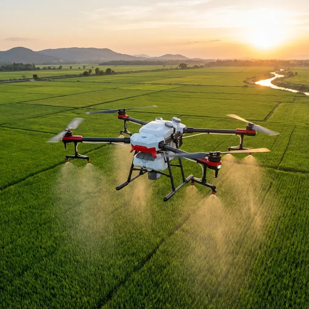
That is exactly why Avata deserves a serious look for low-light forest inspection.
Not as a fantasy machine. Not as a catch-all answer. As a practical tool for a very specific operational problem: moving through dense, obstructed environments where light is inconsistent, access is poor, and visual confirmation often matters more than broad-area mapping. Forest inspectors, utility teams working near wooded corridors, ecological survey crews, and post-storm assessment teams all run into the same bottleneck. The job is not just to fly. The job is to get close enough to understand what is happening without putting people into unnecessary risk.
The Guizhou reference is sparse, but the core point is clear: in 2008, drones were either absent or not in meaningful use there during disaster response, and that absence made relief harder. Operationally, that matters because difficulty in these situations is rarely abstract. It usually means slower situational awareness, more walking through unstable ground, delayed identification of blocked routes, and reduced confidence in what lies beyond the next tree line or slope break. In forests, especially near dusk, under canopy, or in overcast weather, those same constraints show up in civilian inspection work every day.
Avata fits into that gap.
Why low-light forest inspection is harder than it looks
People who have never worked under canopy often imagine low light as just “less brightness.” That is not the real issue. The real issue is variability. You move from open sky to dense shadow in seconds. Branches appear from the side, not the front. Moisture, haze, and uneven terrain flatten depth cues. A path that looks clear from 20 meters out can turn into a mesh of trunks, vines, and hanging limbs as soon as you commit to it.
This is where a compact, agile platform changes the inspection logic.
Traditional aerial work often prioritizes altitude and overview. Forest inspection often needs the opposite. You may need to slide along a corridor, dip beneath the canopy edge, check storm damage around a stand of trees, inspect erosion on a wooded slope, or verify whether a trail, drainage line, or service route remains accessible. That kind of mission is not about cinematic distance. It is about controlled proximity.
Avata’s value starts there: it is built for close-environment flight where maneuverability and confidence around obstacles matter more than wide-open speed. In a forest, obstacle avoidance is not a luxury feature. It is what separates a useful inspection run from a short flight followed by a recovery walk.
The lesson from 2008: access to aerial perspective changes the whole workflow
The Guizhou example is powerful precisely because it is historical. In 2008, many teams facing rugged terrain simply did not have a practical airborne tool they could deploy quickly to make relief less difficult. That detail is easy to skim past, but it carries real operational significance.
Without a drone, field teams must often inspect conditions the slow way: on foot, vehicle by vehicle, sector by sector. In wooded or mountainous conditions, that can consume hours before decision-makers even get a basic picture of the scene. Add failing light, damaged infrastructure, or unstable ground, and the cost of uncertainty rises fast.
Avata does not replace full disaster-management systems, and it should not be framed that way. What it does offer is a way to shrink uncertainty early. For civilian inspection crews, that same principle applies on a smaller scale. Before sending a team into a hard-to-access section of forest, an operator can use Avata to answer immediate questions:
- Is the path blocked by fallen timber?
- Has runoff carved new channels across the slope?
- Are overhead branches or leaning trees creating hazards near work areas?
- Can a crew reach the target zone safely before daylight fades?
That is the operational bridge between the 2008 reference and today’s inspection reality. The value is not that drones are modern. The value is that they compress the time between “we need to know” and “now we know.”
Why Avata makes sense under canopy
Avata is especially interesting in forests because it is designed for immersive, controlled flight in tighter spaces. That matters more than many buyers realize. A forest inspection pilot is not always trying to cover a huge area in one pass. Often the mission is to thread through constrained pockets where line-of-sight from the ground is poor.
Three capabilities matter here.
1. Obstacle management in cluttered spaces
In wooded environments, every meter can introduce a new hazard. Branches, saplings, trunks, terrain rise, and uneven openings all complicate the route. Obstacle avoidance helps reduce the burden on the pilot when flying near these features, especially in low-light situations where contrast drops and depth judgment becomes less forgiving.
The significance is straightforward: better obstacle awareness means fewer interrupted missions and less time spent retrieving the aircraft from brush or rough ground. In inspection work, reliability is productivity.
2. Stable close-range observation
Forest assessment often requires seeing details that disappear from higher altitude. You may need to examine bark damage, canopy breakage, leaning stems, washouts, or obstructions around a trail or service line. Avata’s form factor supports this kind of close work. It lets the operator approach features in a way that feels deliberate rather than oversized and awkward.
That becomes more valuable in low light because the closer you can safely position the aircraft, the less you rely on digital cropping or guesswork later.
3. A more intuitive pilot-view relationship
For low-level inspection, the operator benefits from a flight experience that aligns tightly with the route being explored. In dense forest, orientation mistakes happen when the aircraft’s path and the pilot’s mental map drift apart. Avata’s immersive flying style helps maintain spatial awareness in a way that suits winding, obstacle-rich inspection lines.
That does not eliminate training needs. It makes training more meaningful.
Best practices for low-light forest inspection with Avata
A capable platform only delivers value if the mission is set up properly. Forest work punishes sloppy planning. Here is how to get better results.
Start with a narrow objective, not a vague patrol
The worst low-light inspection flights are the ones launched with a broad instruction like “go look around.” Under canopy, battery time and visual attention are too valuable for that. Define the mission in one sentence before takeoff.
Examples:
- Verify whether a drainage route is blocked by fallen trees.
- Inspect a 300-meter wooded access corridor before a crew enters.
- Check for storm damage around a specific stand edge before nightfall.
This matters because it determines flight path, altitude, camera settings, and how much risk is acceptable. A tight objective also makes post-flight review faster.
Fly the edge first
When inspecting forests in fading light, begin at transition zones: road-to-forest edges, open-to-canopy boundaries, and visible corridors. These are easier places to calibrate exposure, visibility, and branch density before committing deeper inside.
Operationally, this lowers the chance of early disorientation. It also helps you identify a clean return route while light still exists.
Use D-Log when the scene has harsh contrast
Low-light forest scenes often include bright sky windows and very dark undergrowth in the same frame. D-Log can be useful here because it preserves more grading flexibility when those tonal extremes collide. That is not just for aesthetics. It can help the review team pull out details from shadowed areas without sacrificing the bright gaps above the canopy.
The key is discipline. If your team does not have a consistent post-processing workflow, D-Log may create more work than value. But for organizations that document inspections formally, it can make footage more usable for evidence, comparison, and reporting.
Treat subject tracking and ActiveTrack as support tools, not substitutes for judgment
Features such as subject tracking and ActiveTrack can be genuinely useful in structured scenarios, especially when following a person moving along a forest path, a vehicle on a service road, or a repeatable line through a clearing. But in tight woods, they should support the pilot, not lead the mission.
Why? Because under canopy, the environment changes too quickly. Occlusions happen constantly. Branches break line continuity. Light shifts can mislead visual interpretation. If you use tracking modes, do it in sections where the route is obvious and the risk of side-entry obstacles is low.
Used correctly, these tools can reduce workload. Used lazily, they can create overconfidence.
Save QuickShots and Hyperlapse for documentation, not primary inspection
There is a place for QuickShots and Hyperlapse in professional forestry-related work, but it is usually after the core inspection is done. QuickShots can help create clean overview snippets for stakeholders who need a fast visual summary of site context. Hyperlapse can show changing light, moving weather, or worksite progression over time.
Neither should be the first tool you reach for when evaluating hazards in low light. Inspection comes first. Presentation comes second.
That distinction matters because teams often confuse attractive footage with useful footage. In operational environments, they are not the same thing.
Build a repeatable low-light route library
One of the most underused advantages of Avata in forest work is route familiarity. If you inspect the same access paths, stand edges, or utility-adjacent corridors more than once, create standardized routes and time windows. Low-light performance improves dramatically when the pilot knows what obstacles are likely to appear and where visual bottlenecks occur.
This is how technology starts solving the same kind of “difficulty” implied by the 2008 Guizhou reference. Not through one heroic flight, but through repeatable field intelligence.
What Avata changes for teams on the ground
The biggest operational benefit is not airborne. It is what happens before and after the flight.
Before the flight, crews can decide whether a site is worth entering immediately or whether conditions require delay, rerouting, or extra safety measures. After the flight, supervisors have visual records instead of secondhand descriptions. That improves handoff quality between field teams, managers, and clients.
For low-light forest inspection, this shift is substantial. Walking into a dim, obstructed area with incomplete information is slow and sometimes unsafe. Sending a small aircraft first to inspect access and identify obvious issues changes crew behavior. People move with a plan instead of a question mark.
If you are building that kind of workflow and want to discuss field setup choices with someone who understands the platform, you can message an Avata specialist here.
The real takeaway from the Guizhou comparison
The most striking part of the Guizhou reference is its simplicity: if that kind of drone had been available in 2008, disaster relief would not have been so difficult. Even without extra details, the message is operationally sharp. Hard terrain plus limited visibility plus urgent decisions creates friction. A capable drone reduces that friction.
For today’s civilian forest inspection teams, Avata brings that lesson into everyday practice. It is not merely about flight performance. It is about reducing blind spots in places where people used to rely on guesswork, physical exposure, and delayed confirmation. Obstacle avoidance matters because forests are unforgiving. D-Log matters because dark, high-contrast scenes do not always reveal their truth on first view. ActiveTrack and subject tracking matter when used selectively on cleaner routes. QuickShots and Hyperlapse matter when the mission also requires communication, not just observation.
Most of all, Avata matters because it fits the kind of inspection problem that larger, more generalized aircraft often handle less gracefully: low, close, cautious, visually complex work in places where light disappears early and the ground is not eager to cooperate.
That is a long way from 2008. And that is the point.
Ready for your own Avata? Contact our team for expert consultation.