Inspecting Mountain Forests With Avata: Practical Flight
Inspecting Mountain Forests With Avata: Practical Flight Tips, Safer Routing, and Why “Air Corridors” Matter
META: Learn how to use DJI Avata for mountain forest inspection with practical tips on routing, obstacle avoidance, antenna positioning, video settings, and why drone-based air corridors can cut response time when terrain slows ground access.
Mountain forests expose every weakness in a drone operation.
Signal gets swallowed by ridgelines. Tree canopies break visual references. Narrow valleys create awkward wind behavior. And when the mission is time-sensitive—checking storm damage, locating blocked trails, assessing a landslide zone, or reaching a remote field team—ground access can become the biggest bottleneck of all.
That is why one recent development in China’s broader drone ecosystem deserves attention even for Avata pilots working far from hospitals. A report from uavcn describes how drones are being used to strengthen the country’s medical emergency system by opening what it calls an “air life corridor.” The core idea is straightforward: when roads are blocked or distances are long, drones can move medical supplies, emergency devices, and test samples faster than ground transport.
That same operational logic applies to mountain forest inspection.
Avata is not a heavy logistics aircraft, and it should not be treated like one. But the lesson is still highly relevant: in difficult terrain, the value of a drone is not just the image it captures. It is the way it compresses time and overcomes access friction. If your inspection workflow in the mountains is built with that mindset, Avata becomes much more useful than a simple camera platform.
This guide focuses on exactly that.
Start with the right mission mindset: time matters more in the mountains
Many pilots approach forest inspection as a filming problem. In reality, it is often an access problem first.
When a mountain road is washed out, a footpath is blocked by fallen timber, or a steep drainage cuts off a direct route, every minute spent reaching a point of interest adds cost and risk. The uavcn report makes this operational point clearly in another context: drones help when ground transportation is obstructed or when the destination is far away, because they reduce transport time.
For a forest inspection team, that principle changes how you should use Avata:
- fly to answer a specific field question quickly
- avoid unnecessary route complexity
- prioritize line continuity and signal health
- capture only the footage needed for decision-making
- return with usable visual evidence fast
That may sound obvious, but it is easy to forget when Avata’s immersive flying style invites exploration. In mountain work, discipline beats curiosity.
What Avata is actually good at in forest environments
Avata makes sense in mountain forests for a particular kind of inspection profile: low-altitude, close-in, terrain-aware observation where maneuverability matters more than large-area coverage.
It is especially useful when you need to:
- inspect trail corridors under canopy gaps
- visually check erosion channels or stream crossings
- assess treefall around utility or foot-access routes
- weave through irregular terrain where a larger aircraft would feel cumbersome
- document conditions for a remote team that needs fast situational awareness
Its compact form factor and immersive flight character can be a real advantage around uneven slopes and cluttered forest edges. But that strength comes with a tradeoff: mountain forests are highly unforgiving when it comes to signal path, branch strikes, and poor route planning.
So the best Avata forest pilots do not just “fly well.” They prepare well.
Route planning: build your own civilian air corridor
The “air life corridor” idea from the medical emergency report is useful because it frames the drone route as infrastructure, not improvisation.
For mountain forest inspection, think of each repeated flight path as a temporary air corridor. That means a route designed around reliability, access, and repeatability.
Here is how to do that with Avata.
1. Choose corridor logic over scenic logic
Do not design the flight around the best-looking shot. Design it around the most dependable path between launch point and inspection point.
A strong corridor usually has these characteristics:
- minimal ridgeline masking between pilot and aircraft
- fewer tall canopy interruptions
- predictable return options
- a visual path that is easy to reconstruct if conditions change
- enough lateral clearance to avoid abrupt correction inputs
A weak corridor often looks attractive on screen but causes range instability because the aircraft repeatedly drops behind terrain or dense vegetation.
2. Fly along the contour when possible
In mountain forests, climbing straight over a ridge often creates a signal problem before it creates a safety problem. The better choice is often to follow the side contour or move through a saddle where terrain masking is reduced.
This matters because your control link is only as good as the clean path between controller antennas and aircraft. A route that stays visible from the launch area usually outperforms a shorter route that disappears behind the mountain.
3. Build staging points into the mission
If the inspection area is complex, do not try to do everything in one pass. Use short sectors.
For example:
- sector 1: approach and broad orientation
- sector 2: close inspection of the target zone
- sector 3: confirmation pass from a second angle
- sector 4: return with reserve margin
That structure reduces rushed decision-making and gives you a cleaner review workflow afterward.
Antenna positioning advice for maximum practical range
Pilots often blame the forest when the bigger issue is their own body position, controller angle, or launch placement.
If you want the best possible range and link stability with Avata in mountain terrain, antenna discipline matters.
Pick the launch point before you power on
Your best launch point is usually not the one nearest the trail. It is the one with the cleanest forward exposure into the intended flight corridor.
Look for:
- a small rise rather than a hollow
- an opening with a clear view above shrub level
- a position that does not force the signal immediately through dense trunks
- separation from parked vehicles, metal rails, or overhead structures
A few meters of elevation at takeoff can make a larger difference than many pilots expect.
Keep the controller oriented toward the aircraft’s path
As the drone moves, your body should move too. Do not plant your feet and let the aircraft drift into a poor angle relative to the controller.
In mountain forest work, I recommend this habit: after every major heading change, check your own alignment. If the drone has moved around the slope, pivot your body so the controller remains properly presented toward the aircraft’s position.
Avoid shielding the controller with your body
This sounds basic, but on a steep hillside it happens constantly. Pilots turn their head to track the drone visually while their torso blocks the controller’s best exposure.
If possible:
- hold the controller high enough to clear your chest
- avoid hunching over on uphill launches
- step sideways to maintain a cleaner signal path rather than reaching awkwardly
- do not stand directly behind a tree trunk or boulder if you can help it
Do not chase theoretical maximum distance
Maximum usable range in mountain forest inspection is not a spec sheet issue. It is a route integrity issue.
If your signal quality drops each time you pass one drainage line or dip behind one cluster of taller trees, that point defines your practical operating envelope. Respect it. The mission goal is not distance. It is reliable information return.
Obstacle avoidance: understand both the feature and the environment
Obstacle avoidance can help, but forest environments expose its limits quickly.
Dense branches, fine twigs, irregular canopy edges, shifting light, and shadow contrast can all make obstacle interpretation harder than pilots expect. So use obstacle sensing as a layer, not as permission to relax.
Operationally, that means:
- reduce speed when entering textured canopy edges
- maintain extra clearance around dead branches and angled trunks
- avoid depending on automation in tight spaces
- give yourself a retreat lane before moving deeper into clutter
In mountain forests, the smartest move is often to stop early, hover, inspect the path visually, then proceed in short deliberate segments.
That is slower than freestyle flying. It is also much more professional.
Subject tracking and ActiveTrack: useful, but only in selective scenarios
The reader scenario here is forest inspection, not lifestyle filming. So tracking modes should be used carefully.
ActiveTrack or subject tracking can help if you are following a moving field worker on a trail, documenting a vehicle progressing along a forest road, or keeping a visual lock on a known route segment. But dense trees, elevation changes, and intermittent occlusion can break continuity fast.
Use tracking only when:
- the subject path is relatively open
- the terrain does not force repeated blind transitions
- you have already flown and understood the corridor manually
- the tracking shot is supporting documentation, not the sole mission-critical record
In other words, let automation serve a route you already trust.
QuickShots and Hyperlapse are not just creative modes
Most inspection pilots ignore QuickShots and Hyperlapse because they sound cinematic. That is a mistake.
Used properly, these tools can create context.
A short automated reveal from a forest edge into a washout area can help non-pilot stakeholders understand terrain relationships immediately. A Hyperlapse over changing light or moving fog can document visibility trends around a slope or ridge access point. That kind of footage can be useful for planning when teams need to interpret how conditions evolve during a day.
The key is restraint. Do not generate these clips for style. Generate them to communicate spatial context.
D-Log matters when the forest scene has brutal contrast
Mountain forests often combine dark under-canopy detail with bright sky holes, reflective water, rock faces, and sunlit clearings. That dynamic range is where D-Log becomes operationally valuable.
If your purpose includes post-flight review, client reporting, or evidence-based condition assessment, D-Log can preserve more grading flexibility in difficult light. That helps when you need to recover shadow detail near roots, embankments, or narrow crossings without blowing out the sky above the ridge.
For field teams comparing before-and-after conditions, cleaner tonal control can improve interpretation. Not because the footage looks prettier, but because more detail survives the workflow.
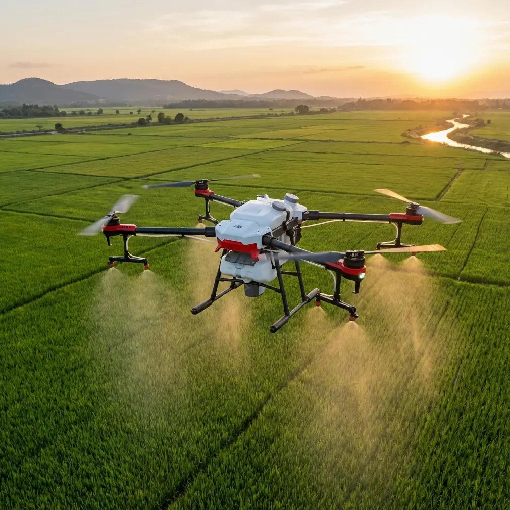
Build missions around useful payload logic, even if Avata is not a transport platform
The uavcn medical emergency story revolves around drones transporting medical supplies, emergency equipment, and testing samples. That matters here because it reminds us that drone missions are not always about imaging alone.
In forest operations, the equivalent mindset is to ask: what critical information are we delivering, and how fast can we deliver it?
With Avata, the “payload” is often one of these:
- confirmation that a route is passable
- visual proof that a damaged area is larger or smaller than expected
- immediate awareness of where a field crew should avoid entering
- documentation that lets a second team mobilize correctly the first time
This is the civilian version of an air corridor mindset. Not every mission needs a bigger aircraft. Sometimes the real win is getting the right visual answer back before a crew wastes two hours hiking to the wrong location.
A sample mountain forest inspection workflow with Avata
Here is a practical structure I like for real-world work:
Pre-launch
- confirm weather, wind direction, and valley gust behavior
- identify one primary route and one fallback route
- choose a launch point with the cleanest signal geometry
- set camera profile based on light contrast, often favoring D-Log for hard midday scenes
First pass
- climb only as much as needed for route clarity
- establish corridor visibility
- note terrain features that could block return signal
- avoid diving into dense cover immediately
Inspection pass
- slow down near the target area
- use manual control for precision observation
- grab one wide contextual shot and then tight detail shots
- if using tracking or QuickShots, do it after core mission footage is secured
Return pass
- retrace the most stable corridor rather than experimenting
- monitor signal consistency at known weak points
- land with enough reserve to repeat a short verification hop if needed
Post-flight
- review footage for actionable findings first
- export clips that answer the operational question
- archive route notes so the next mission starts smarter
If you need help refining a mountain inspection setup or choosing the right flight workflow for your terrain, you can message a drone specialist here.
Why this matters beyond one aircraft
The larger takeaway from the Chinese medical emergency example is not that every drone should carry supplies. It is that drones create value when they bypass the delay built into difficult geography.
That report highlights three practical facts: drones are being used to support emergency systems, they can move critical items such as medical materials and test samples, and they become especially useful when ground traffic is blocked or distance is a problem. Those details have direct operational significance for civilian forest inspection. They show why aerial access is not a luxury in hard terrain. It is a method for restoring continuity when the surface route fails.
For Avata pilots, that should shape priorities.
Fly for access. Fly for time. Fly for usable information.
The mountain will always be complicated. Your mission design should not be.
Ready for your own Avata? Contact our team for expert consultation.