Avata for Coastal Solar Farm Inspection: What the Airframe
Avata for Coastal Solar Farm Inspection: What the Airframe Matters More Than the Camera
META: A technical review of DJI Avata for coastal solar farm inspection, with expert analysis on wind behavior, low-altitude control, obstacle avoidance, and why soft-aircraft concepts reveal what really matters in the field.
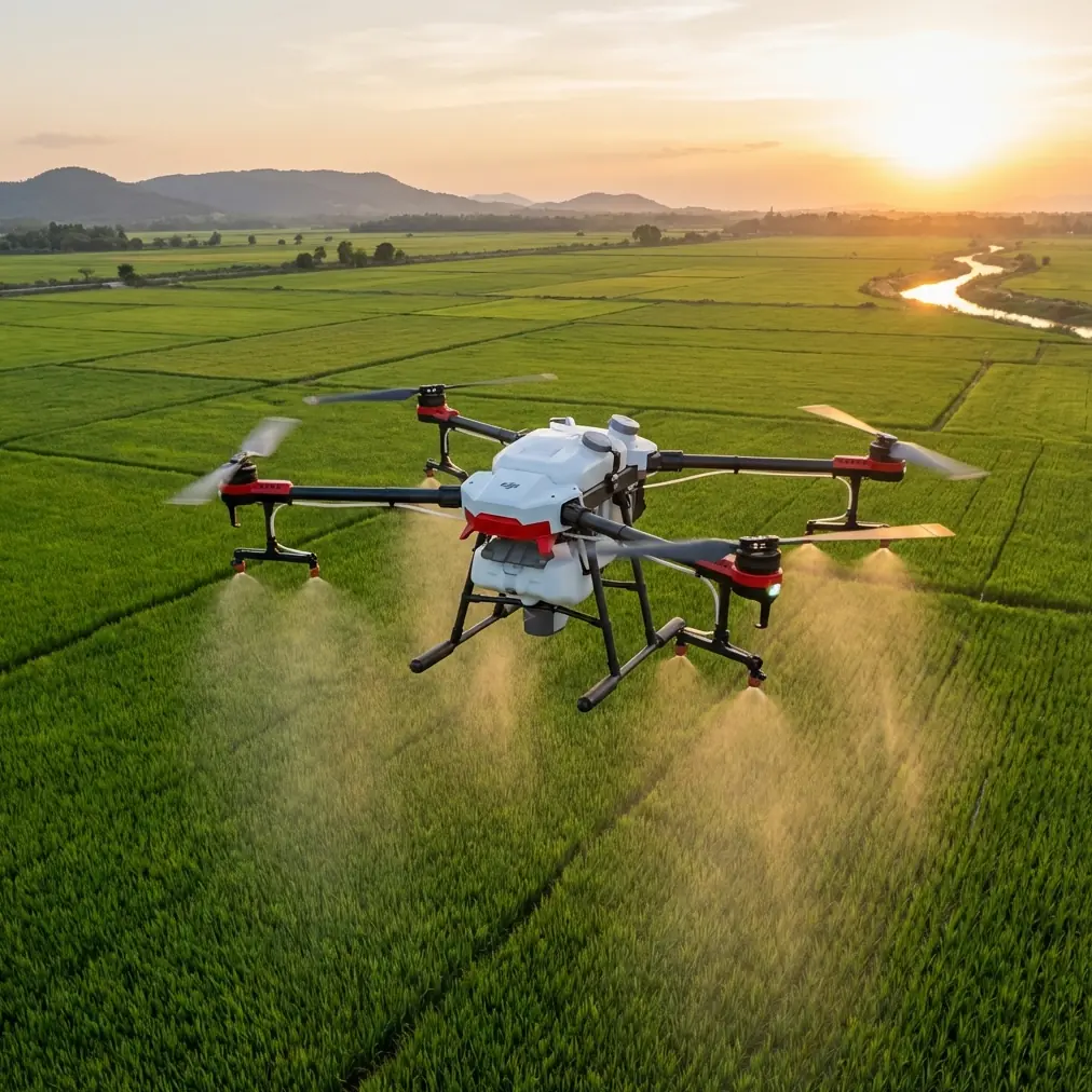
Coastal solar farms punish weak aircraft.
Salt air creeps into everything. Wind shifts hard and without warning. Panel rows create repetitive geometry that confuses pilots and drains concentration. Add access roads, cable trenches, inverter stations, perimeter fencing, and occasional vegetation overgrowth, and the job stops being a simple “fly and film” exercise. It becomes an aircraft selection problem.
That is why Avata deserves a more serious look than it usually gets.
Most casual discussions frame Avata around immersive flying, agility, or creator appeal. For solar inspection work near the coast, those angles miss the point. The real question is whether a compact, ducted platform can stay controlled at very low altitude, remain usable around structures, and reduce pilot workload in an environment where the wind is rarely polite.
To understand where Avata fits, it helps to step back and look at a less obvious reference from UAV development history.
What early soft-aircraft research gets right about inspection drones
A useful clue comes from a Chinese UAV knowledge document discussing inflatable and soft aircraft concepts. One section describes how some countries pursued solar-powered UAVs with large wingspans, long endurance, and high ceilings, even designs that can stay aloft for extremely long periods. The operating logic is elegant: climb on solar energy in daylight, then glide at night to conserve battery. But the same source points out the central weakness of those aircraft: the wind environment in the troposphere is difficult enough that even with efforts to raise wing loading, increase airspeed, and stiffen the structure, wind resistance remains limited.
That matters for a coastal solar farm because it cuts through marketing fluff. Endurance alone does not solve inspection. An aircraft that looks efficient on paper can become operationally awkward when wind, turbulence, and low-altitude maneuvering enter the picture.
The same source then shifts to inflatable UAVs and highlights a very different design philosophy: portability, elasticity, impact resistance, payload protection, large wing area, stronger load capacity, and special suitability for ultra-low-speed, low-altitude flight. Again, the relevance is immediate. Solar farm inspection is not a high-altitude endurance contest. It is a controlled low-altitude data collection task where survivability, gentle handling, and predictable motion often matter more than theoretical range.
Avata is not a soft aircraft, of course. But it inherits part of that operational logic better than many camera drones do.
Its ducted form, compact footprint, and confidence near obstacles make it much closer in spirit to an aircraft designed for controlled proximity work than to a broad-wing platform designed to roam.
Why low-altitude stability is the real story
The historic “soft aircraft” development timeline is also revealing. According to the reference, inventor Zhang Bingyan began the concept in 1992, established the theory in 1997, produced a prototype form in 1998, and by 2003 had built four examples. Between 2005 and 2007, two Zhejiang University graduate students conducted physical experiments and wrote dissertations on the subject. That timeline shows something inspection teams often rediscover the expensive way: useful aircraft design matures around operational behavior, not around headline specs.
For coastal solar work, low-altitude stability is the behavior that counts.
When you are passing along panel corridors, easing around mounting structures, or approaching combiner boxes for visual review, aggressive speed is a liability. The source’s SF-1 example is interesting here. It used a rubber composite exterior and was described as capable of roughly 20 km/h in electric mode, 100 km in fuel mode, flight altitude of 3000 meters, and payload around 25 kilograms. Those are not Avata-like numbers, but they illustrate a design philosophy centered on soft handling, protected structure, and useful low-speed characteristics. The document even notes strengths around ultra-low-speed takeoff and landing.
That same bias toward manageable motion is exactly why Avata works in solar farms.
A conventional camera drone may produce cleaner top-down mapping patterns, but when the task shifts to targeted visual inspection along edges, under cable runs, around inverter housing, or near maintenance structures, Avata’s controlled, close-quarters flying style becomes the advantage. You are not trying to impersonate a survey aircraft. You are trying to gather usable visual evidence without spending the whole mission fighting the airframe.
Coastal wind changes the platform hierarchy
The reference document makes another point that deserves more attention. It contrasts helicopters with fixed-wing aircraft and notes that helicopters typically suffer from higher vibration and noise, greater maintenance burden, higher operating cost, lower speed, shorter range, and a steeper operational threshold that limits broader cross-sector use.
Translate that into today’s drone environment and the lesson still holds: complexity taxes field operations.
For coastal solar sites, especially those spread across uneven reclaimed land or exposed shoreline zones, the ideal aircraft is not necessarily the most powerful one. It is the one that lets an inspection team launch quickly, reposition often, and complete repeated close passes with minimal setup friction.
This is where Avata can outperform larger or more traditional inspection platforms, especially in secondary inspection workflows.
A broad fixed-wing system may cover perimeter acreage efficiently. A larger multirotor with enterprise sensors may be the right tool for thermal diagnostics or standardized orthomosaic collection. But neither is automatically better for close visual verification in narrow spaces or in wind-scrubbed zones where compactness and guarded propellers reduce operational stress. Avata excels when the job is to inspect what another aircraft or ground team has already flagged.
That is a more realistic and more valuable role than pretending it should replace every drone on site.
Obstacle environment: Avata’s strongest argument
Solar farms look open from a distance. Up close, they are full of trap geometry.
Panel tables create repeating lines that can distort depth perception. Junction boxes, support posts, fencing, and service structures interrupt otherwise simple flight paths. In coastal sites, temporary maintenance equipment and vegetation can further complicate route planning. This is why obstacle handling matters far more than a generic spec-sheet race.
Avata’s protected propeller architecture is not just a safety talking point. For inspection work, it changes pilot psychology. Crews tend to fly more confidently near structures when minor contact is less likely to become a mission-ending event. That confidence has operational significance: closer passes, steadier framing, fewer aborts, and less time wasted setting up overly conservative lines.
This is also where Avata often stands apart from more camera-centric drones. Competitors may deliver stronger top-end imaging flexibility or broader automation suites, but they frequently demand more airspace discipline around physical obstacles. Avata is unusually forgiving in the exact environments where solar inspection pilots become cautious.
That forgiveness is productive.
What about subject tracking, QuickShots, Hyperlapse, and D-Log?
For solar inspection, some popular flight features matter less than buyers assume.
ActiveTrack-style subject tracking and creator-oriented QuickShots are not central to panel inspection itself. They can help with site documentation, maintenance team movement capture, or progress reporting, but they are not the reason to choose this aircraft. Hyperlapse is similar: useful for showing construction development, site logistics flow, or weather movement across an installation, but peripheral to defect review.
D-Log is more consequential.
On coastal sites, reflective panels and bright sky can create brutal contrast. A flatter capture profile gives more latitude when recovering details in both panel surfaces and surrounding infrastructure during post-processing. That can matter when reviewing glare-heavy footage or trying to preserve contextual information around mounting hardware and cable routing.
Still, the most useful “feature” is not in the camera menu. It is the way Avata lets a skilled operator maintain a stable line through cluttered space with less fear of incidental contact than many rival platforms.
That is the inspection value.
Where Avata is genuinely better than some competitors
Here is the blunt version.
If your benchmark is a larger enterprise drone built for thermal payloads, standardized mapping, or long-duration grid missions, Avata is not the winner. It is not supposed to be. But if your comparison set includes compact camera drones used for close visual checks, Avata often has the edge in one critical area: proximity confidence.
That confidence comes from a mix of form factor, guarded propulsion, and low-speed controllability. In coastal solar work, that combination can produce better real-world footage than a technically sharper drone flown more cautiously from farther away.
Distance degrades inspection usefulness. Confidence reduces distance.
And unlike the old helicopter logic described in the reference material—where vibration, maintenance intensity, and operational difficulty limited broader adoption—Avata keeps the access threshold low. Teams can deploy it quickly for routine visual review without turning every mission into a specialist event.
The hidden workflow advantage: secondary verification
The most effective way to use Avata on a solar site is as a verification aircraft.
Imagine a thermal or mapping mission identifies suspicious rows, debris accumulation, physical displacement, or anomalies around support infrastructure. Instead of sending personnel immediately across long field sections, Avata can be dispatched for a rapid visual pass. Its compact body and obstacle-tolerant layout make it ideal for checking edge conditions, damage near structures, or access-constrained areas before deciding whether a technician needs to walk in.
This is where the historical reference to payload protection and impact resistance in inflatable UAV concepts becomes unexpectedly relevant. Inspection economics improve when the aircraft tolerates close work and keeps the mission moving. Even though Avata is not inflatable, it aligns with the same practical doctrine: reduce fragility where the task demands proximity.
For operators refining this kind of workflow in coastal environments, it helps to discuss route design, wind margins, and inspection sequencing with teams that understand UAV deployment rather than just drone retail. If you want to compare mission setups for panel corridors and inverter-zone fly-throughs, you can message a UAV specialist here.
Limits you should respect
Avata is not a one-aircraft answer for every solar program.
If your operation requires calibrated thermal analysis, highly repeatable survey output, or large-area coverage in a single sortie, you will still need other tools. Coastal wind can also push any compact aircraft out of its comfort zone faster than inland users expect. The reference material’s warning about wind environment is worth remembering: even aircraft designed specifically to resist atmospheric disturbance can face hard limits.
That is why Avata should be deployed for the mission slice it handles best:
- close visual verification
- constrained-path inspection
- low-altitude structural review
- supplemental footage capture in awkward spaces
- training pilots in controlled proximity operations
Use it there, and it earns its place.
Force it into long-range survey roles, and you will be fighting the wrong battle.
Final assessment
The smartest way to judge Avata for coastal solar farm inspection is not by treating it as a miniature survey drone or as a cinematic toy. It is better understood as a close-range inspection platform whose handling characteristics solve a specific field problem.
The old UAV reference discussed soft aircraft, solar endurance aircraft, and helicopter limitations. At first glance, those topics seem far removed from a modern Avata workflow. They are not. They all circle the same operational truths: wind exposure changes everything, low-altitude behavior matters, and aircraft that reduce handling stress often create more value than aircraft with grander specifications.
The SF-1 example in that source carried about 25 kilograms, flew to 3000 meters, and used a rubber composite skin, but the more interesting lesson was not its size or payload. It was the emphasis on gentle, controllable, low-speed flight and structure that could better absorb operational realities. Avata applies a modern version of that logic to inspection work.
For coastal solar farms, that logic holds up.
Ready for your own Avata? Contact our team for expert consultation.