Avata in Windy Vineyard Inspections: A Practical Field
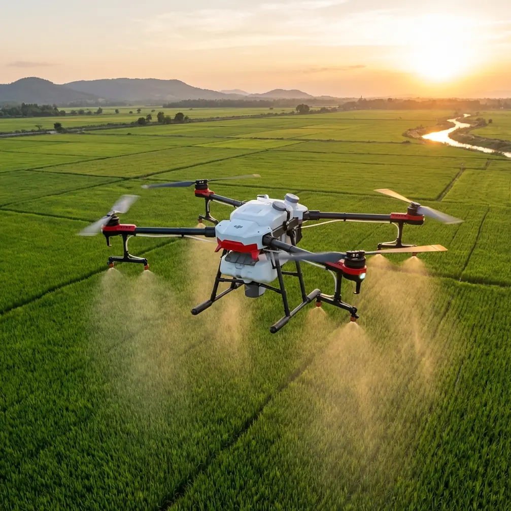
Avata in Windy Vineyard Inspections: A Practical Field Workflow That Holds Up When Conditions Shift
META: A field-tested tutorial on using Avata for windy vineyard inspections, with lessons drawn from UAV mapping constraints in irregular terrain and why fresh aerial data matters more than archived imagery.
I’ve always thought vineyard inspection is where small drones either prove their worth or get exposed quickly.
On paper, it sounds simple: fly a few rows, check canopy condition, review trellis alignment, document drainage, and capture enough visual context to support decisions on irrigation, access, and maintenance. In reality, vineyards are awkward places to inspect well. They stretch in narrow, irregular bands. Terrain rolls and breaks unexpectedly. Wind funnels through rows and over ridgelines. And if you’re working near hillside plantings, the gap between “good enough footage” and actually useful operational data gets very wide.
That’s why Avata is interesting here.
Not because it replaces a full survey platform. It doesn’t. And not because every vineyard needs cinematic FPV. Most don’t. Avata matters because it can reach places that are operationally annoying for larger aircraft, hold a stable visual line through constrained spaces, and deliver current, close-range imagery when the landscape has already changed since the last formal map or satellite pass.
That last point deserves more attention than it usually gets.
A technical paper from Gu LiJuan and Xu Ziyang on UAV aerial survey in mountainous water conservancy mapping made a point that still applies surprisingly well to agricultural inspection. Traditional aerial photogrammetry has more than 100 years of history, and space photogrammetry more than 50. Those systems are mature and highly capable. But when the task shifts to a small area that needs large-scale output, especially across irregular corridors rather than neat blocks, the older model becomes inefficient. The paper specifically describes project areas extending not as simple reservoir footprints, but as irregular strips spanning tens or even hundreds of kilometers. Vineyards may be much smaller, but the geometry problem is the same: long, non-uniform corridors are harder to cover efficiently than they look.
The second detail from that research matters even more in the field: outdated imagery becomes operationally expensive. The authors mention archived aerial photos from as far back as 1969 still being used in some mountainous regions, and even imagery flown in 2010 could not reflect major changes from the following three years. For water infrastructure planning, that means heavy field correction. For vineyard inspection, it means you can’t rely on stale top-down references when erosion channels have shifted, row vigor has changed, access roads have softened, or wind damage appeared after the last weather event.
Avata fits into that gap. It gives you current eyes where fixed mapping cycles and archived imagery fall short.
Why Avata makes sense for vineyard inspection in wind
Let’s set expectations first.
If your objective is to create formal 1:2000 mapping products or anything survey-grade, you need the right platform, sensors, control points, and processing chain. The Guizhou paper is very clear that image acquisition, platform selection, and data processing all matter. Avata is not a substitute for a dedicated mapping workflow.
But vineyard operations often need something slightly different and much more immediate:
- visual inspection of vine rows after wind events
- drainage checks along sloped blocks
- confirmation of broken trellis sections
- canopy uniformity review
- access path assessment for crews and small vehicles
- rapid documentation before maintenance decisions
For these jobs, fresh, low-altitude imagery often beats old “official” data.
Avata’s compact build also changes how you approach inspection in places where space is tight and wind is not consistent. In vineyards planted on slopes or stepped ground, wind is rarely uniform. One row is manageable, the next row gets crosswind turbulence near a gap in the terrain, and the section above the drainage line suddenly behaves like a different site altogether.
That happened to me on a late-afternoon inspection flight.
The plan was straightforward: run parallel passes along the upper rows, dip lower to inspect drainage exits, then use a slower orbit to review a visibly stressed patch near the western edge. Halfway through the second section, the weather turned. Not a storm, just one of those abrupt vineyard shifts where a steady breeze becomes broken gusts. You could see it in the leaves before you really felt it on the sticks.
This is where a drone either stays readable or becomes work.
Avata handled the change well because I wasn’t asking it to do too many jobs at once. I kept the mission visual and methodical. No rushing. No aggressive line choices near posts or wires. Obstacle awareness mattered less as a marketing feature and more as a buffer against the little pilot corrections wind forces you to make when your intended line drifts a touch off center.
That’s the practical truth about obstacle avoidance in vineyards: it’s not there to rescue sloppy flying. It reduces the workload when conditions get less predictable.
A reliable pre-flight workflow for windy vineyard checks
If you’re using Avata to inspect vines in variable conditions, I’d keep the workflow tight.
1. Define the inspection objective before takeoff
Don’t launch with “I’ll just have a look.”
Choose one primary objective and one secondary objective. For example:
- Primary: inspect wind exposure damage along the top three rows
- Secondary: review drainage channels at the eastern edge
This matters because wind compresses battery efficiency and pilot attention. A vague mission leads to random footage and missed details.
2. Walk the launch area and read the terrain, not just the forecast
Forecast apps tell you regional wind. Vineyards care about local behavior.
Look for:
- ridge breaks
- gaps between tree lines
- exposed row ends
- slope transitions
- structures that create rotor wash or turbulence
- utility lines near service tracks
The mountain-survey lesson from the Guizhou paper applies directly here: terrain drives aerial method. The paper emphasizes that UAV remote sensing works across varied terrain and is especially valuable where conventional approaches struggle. In a vineyard, that means you don’t assume one flight profile fits the whole block.
3. Plan short sectors instead of one long continuous mission
This is one of the biggest mistakes I see.
A vineyard may look like one inspection area, but operationally it should be split into sectors:
- upper ridge rows
- mid-slope blocks
- lower drainage edge
- access road corridor
Remember the research example about irregular strip-like measurement ranges stretching for long distances. Even when your actual site is much smaller, irregular geometry still punishes inefficient planning. Breaking the site into logical strips makes your review cleaner and your return path safer if the wind builds.
4. Set your capture style before the first pass
For inspection, I use three capture modes mentally, even if the drone doesn’t call them that:
- Row trace: slow forward flight centered on a row or aisle
- Condition pause: brief hover to inspect canopy, posts, or runoff patterns
- Context reveal: wider-angle pullback or rise to show how one issue relates to the surrounding terrain
QuickShots can help for context visuals if conditions are mild, but in gusty air I prefer manual control. Hyperlapse is useful only if the air is stable enough to maintain visual consistency. In real vineyard wind, that often isn’t the priority.
Mid-flight: what to do when the weather changes
Here’s the part people tend to oversimplify.
When the wind strengthens mid-flight, don’t immediately think in terms of “Can Avata handle it?” Think in terms of “Can I still collect useful data with clean control margins?”
That shift matters.
On that inspection flight I mentioned, I changed four things the moment the gusts became uneven:
I shortened the route
I dropped the lower-priority pass and focused only on the exposed rows and runoff zone. Fresh, usable footage from 60% of the plan is better than compromised footage from 100%.
I reduced speed
Faster isn’t safer in gusts. It just hides small instability until you need a precise correction. Slower forward movement gave me cleaner visual inspection and more room to respond.
I kept wider clearance from trellis posts and edge vegetation
Wind doesn’t just push the drone. It changes your corrections. Small overcorrections near vineyard structures are where trouble starts.
I changed my camera intent
Instead of trying to collect smooth showcase footage, I prioritized readable inspection angles. This is where D-Log can be helpful if you plan to normalize exposure in post and preserve detail across bright sky and darker foliage, but only if your first priority remains clear visibility of the subject area.
This is also the moment when subject tracking and ActiveTrack deserve a reality check. In vineyards, those features can be useful for following a vehicle or walker along a service lane during documentation, but in gusty, obstacle-rich rows I treat them as optional tools, not default settings. Manual control is usually the better inspection choice when the environment is narrow and the wind becomes inconsistent.
What Avata is actually good at in vineyard operations
Avata shines when the inspection problem is spatially awkward.
That includes:
- row-end checks where turning space is limited
- narrow access lanes between vegetation and infrastructure
- low-altitude review of erosion or drainage paths
- visual follow-through along sloped sections where ground crews need context
- rapid post-weather documentation without waiting for a larger flight program
This lines up nicely with another core point from the Guizhou study: UAV aerial remote sensing is valued for real-time image transmission, mobility, efficiency, and lower operating burden in difficult areas. Those weren’t abstract advantages in mountain water conservancy work, and they aren’t abstract in agriculture either. If a vineyard manager needs same-day visibility after a weather shift, the value is not theoretical. It’s operational.
You’re not buying altitude. You’re buying timeliness and access.
A simple tutorial sequence for a windy vineyard inspection
If you want a repeatable pattern, use this:
Pass 1: High-level orientation
Fly a conservative perimeter or edge-to-edge line at moderate height. Your goal is not detail. It’s to identify where wind is affecting movement, where the terrain breaks, and which rows deserve a closer look.
Pass 2: Row-level inspection
Descend and inspect specific rows with steady, slow movement. Look for:
- uneven canopy movement that suggests damage or exposure difference
- displaced wires or leaning posts
- bare soil channels indicating runoff concentration
- blocked drainage edges
- access track deterioration after recent weather
Pass 3: Problem-area confirmation
Return only to the sections that need documented proof. Hover briefly, change angle, and capture enough context that someone else can understand the issue later without being on site.
Pass 4: Context footage for reporting
If conditions remain manageable, take one or two wider reveals that show the issue in relation to slope, adjacent rows, and drainage direction.
If you need help choosing a setup for this kind of work, I’d use this direct field contact rather than guess from spec sheets: message a drone specialist here.
What not to do
A few habits reduce the value of Avata fast:
- Don’t treat a vineyard inspection like a freestyle flight.
- Don’t rely on one fully automated move when wind is changing.
- Don’t chase cinematic smoothness at the expense of inspection clarity.
- Don’t assume archived imagery tells you what the block looks like now.
That last point is where the mapping reference remains especially useful. The paper’s critique of old imagery is not just a survey-industry problem. In any terrain that changes quickly—mountain infrastructure corridors, slopes, drainage zones, agricultural edges—staleness creates rework. You spend more time reconciling old assumptions with current conditions than actually solving the problem.
Avata’s role is to collapse that delay.
Final take
For windy vineyard inspections, Avata works best when you respect what the job actually demands. Not full formal mapping. Not just pretty footage. The sweet spot is current, close, operationally useful aerial observation across irregular terrain where conditions can shift during the flight.
That is exactly the kind of environment where older remote-imagery logic struggles. As the Guizhou research showed, mature traditional photogrammetry systems remain valuable, but they become awkward when the area is small, irregular, and needs large-scale, current interpretation. A vineyard on rolling ground is a smaller version of that same problem.
And when the weather changes mid-flight, the drone’s real advantage is not bravado. It’s control, adaptability, and the ability to come home with footage that helps someone make a decision the same day.
Ready for your own Avata? Contact our team for expert consultation.