Avata Mapping Tips for Complex Forest Terrain
Avata Mapping Tips for Complex Forest Terrain
META: Master forest mapping with DJI Avata using expert techniques for obstacle avoidance, terrain navigation, and data capture in challenging woodland environments.
TL;DR
- Avata's compact design and prop guards make it uniquely suited for navigating dense forest canopies where larger drones fail
- Manual flight modes combined with D-Log color profile capture maximum detail in high-contrast woodland lighting
- Third-party ND filter sets transform Avata's footage quality for professional-grade mapping deliverables
- Strategic flight planning around tree density and GPS limitations determines mission success in complex terrain
Why Forest Mapping Demands a Different Approach
Traditional mapping drones struggle in forests. GPS signals scatter through canopy cover. Branches appear suddenly in flight paths. Light conditions shift from blinding clearings to near-darkness under dense foliage within seconds.
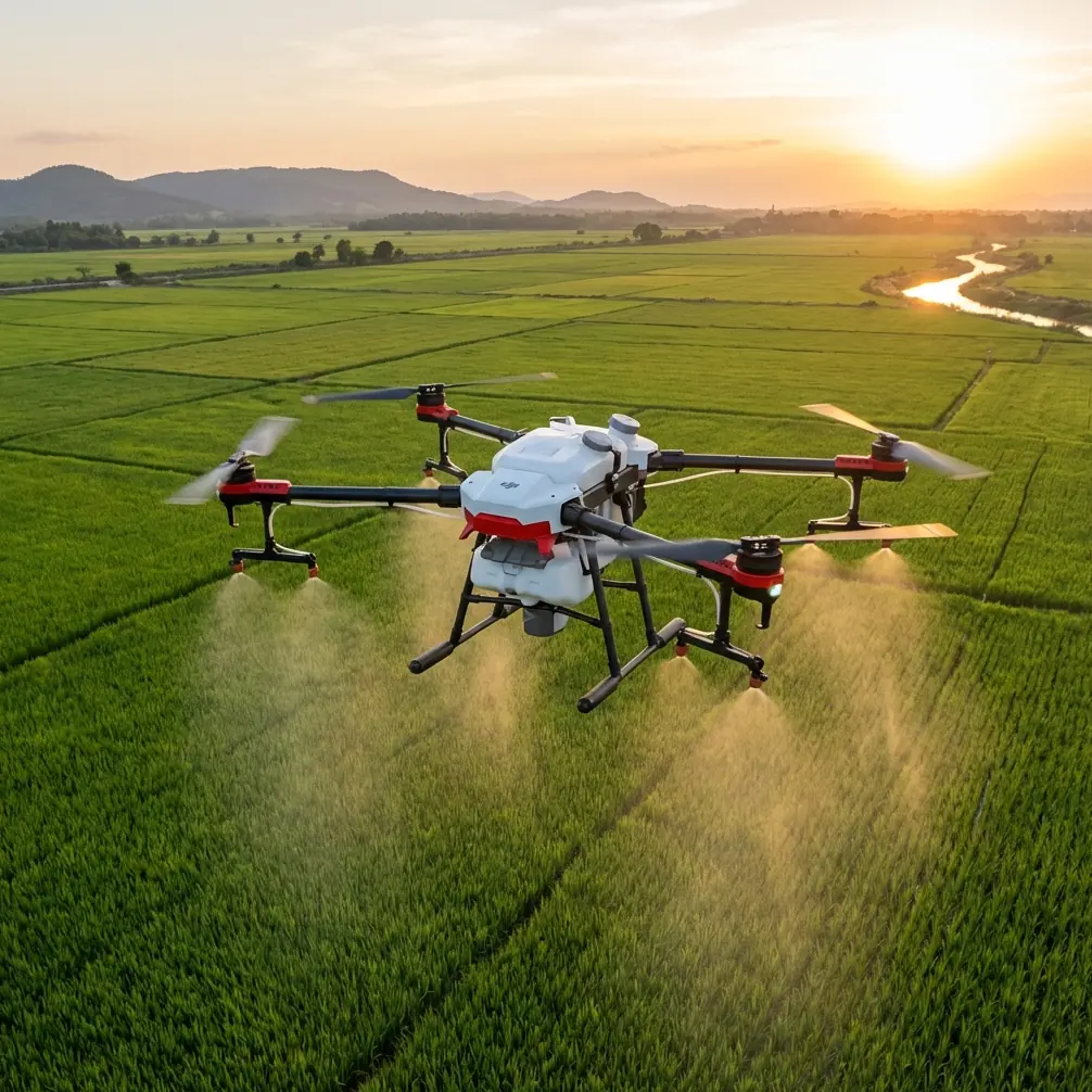
The DJI Avata addresses these challenges through its FPV-style design philosophy. Weighing just 410 grams with built-in propeller guards, this drone threads through gaps that would ground a Phantom or Mavic. For forestry professionals, environmental researchers, and land surveyors, understanding how to maximize Avata's capabilities in woodland environments separates usable data from wasted flight time.
Expert Insight: Forest mapping isn't about covering maximum area—it's about capturing consistent, usable data in an environment designed to defeat aerial platforms. The Avata's agility becomes your primary asset when traditional mapping workflows fail.
Understanding Avata's Forest-Ready Features
Obstacle Avoidance in Dense Environments
Avata's downward vision system and infrared sensing provide critical awareness in cluttered airspace. The system detects obstacles at distances up to 10 meters, giving pilots reaction time even at moderate speeds.
However, forest mapping requires understanding these sensors' limitations:
- Thin branches under 2cm diameter often escape detection
- Dappled lighting can confuse vision-based systems
- Wet foliage absorbs infrared signals, reducing detection range
- Vertical obstacles like hanging vines require manual vigilance
For reliable forest operations, treat obstacle avoidance as a backup system rather than primary navigation. The Avata's Manual mode gives experienced pilots direct control when automated systems become unreliable under canopy.
Subject Tracking for Wildlife Corridors
ActiveTrack functionality serves dual purposes in forest mapping. Beyond following moving subjects, this feature helps maintain consistent altitude above uneven terrain when tracking ground features like streams or trails.
The system performs best when:
- Target contrast exceeds 40% against background
- Movement speed stays below 8 m/s
- Lighting remains relatively consistent
- Clear sightlines exist between drone and subject
Essential Gear: The Third-Party Advantage
Stock Avata performs adequately in controlled conditions. Forest environments demand more.
The Freewell ND/PL filter set designed for Avata transformed my woodland mapping results. These filters address the fundamental challenge of forest cinematography: extreme dynamic range between sunlit canopy and shadowed understory.
Specific filter applications for forest work:
- ND8/PL: Overcast conditions, uniform canopy cover
- ND16/PL: Partial sun, mixed deciduous-conifer stands
- ND32/PL: Direct sunlight, open clearings within forest
- ND64/PL: Bright conditions when slower shutter speeds enhance motion data
The polarizing element cuts glare from waxy leaves and wet surfaces—common issues that degrade mapping data quality. At approximately 30 grams for the complete set, weight impact on flight performance remains negligible.
Pro Tip: Carry your complete ND filter set on every forest mission. Conditions change rapidly under canopy, and swapping filters takes seconds compared to re-flying unusable footage.
Flight Planning for Complex Terrain
Pre-Mission Assessment
Successful forest mapping begins before takeoff. Critical evaluation points include:
- Canopy density percentage (satellite imagery provides baseline)
- Dominant tree species (conifers vs. deciduous affects gap availability)
- Terrain slope (affects GPS reliability and emergency landing options)
- Wind patterns (forest edges create turbulence)
- Time of day (low sun angles increase shadow complexity)
GPS Considerations Under Canopy
Avata requires minimum 10 satellites for stable positioning. Forest canopy routinely reduces this to 6-8 satellites, triggering ATTI mode behavior.
Mitigation strategies:
- Launch from clearings to establish strong initial lock
- Plan routes through natural gaps in canopy
- Avoid operations during solar events that degrade GPS accuracy
- Use visual landmarks for manual position awareness
- Set conservative return-to-home altitudes above treeline
Camera Settings for Woodland Data Capture
D-Log Configuration
The D-Log M color profile preserves maximum dynamic range in high-contrast forest environments. This flat color profile captures 10+ stops of usable data, critical when mapping areas with simultaneous deep shadow and bright sky exposure.
Optimal D-Log settings for forest mapping:
| Parameter | Recommended Setting | Rationale |
|---|---|---|
| Resolution | 4K/60fps | Balances detail with file management |
| Color Profile | D-Log M | Maximum dynamic range preservation |
| Shutter Speed | 1/120 (at 60fps) | 180-degree rule for natural motion |
| ISO | 100-400 | Minimize noise in shadow recovery |
| White Balance | 5600K (manual) | Consistent color across varying light |
| Sharpness | -1 | Prevents edge artifacts in foliage |
Hyperlapse for Temporal Documentation
Forest mapping often requires documenting change over time. Avata's Hyperlapse modes compress hours of canopy movement, seasonal transitions, or project progress into compelling visual documentation.
The Free mode hyperlapse allows manual path control—essential when navigating around fixed obstacles. Set intervals between 2-5 seconds for smooth results that still capture meaningful temporal data.
Technical Comparison: Avata vs. Traditional Mapping Platforms
| Capability | DJI Avata | Phantom 4 RTK | Mavic 3 Enterprise |
|---|---|---|---|
| Weight | 410g | 1391g | 920g |
| Prop Guards | Integrated | Optional (bulky) | None |
| Minimum Gap Clearance | ~50cm | ~100cm | ~80cm |
| Flight Time | 18 min | 30 min | 45 min |
| GPS-Denied Stability | Good | Poor | Moderate |
| Crash Survivability | Excellent | Poor | Moderate |
| Under-Canopy Maneuverability | Excellent | Poor | Moderate |
| Mapping Software Integration | Limited | Excellent | Excellent |
The comparison reveals Avata's niche: access over precision. When traditional platforms cannot physically reach survey areas, Avata's data—even with reduced positional accuracy—provides value impossible to obtain otherwise.
QuickShots for Rapid Documentation
While primarily designed for creative content, QuickShots modes offer practical mapping applications:
- Dronie: Quick vertical profiles of canopy structure
- Circle: 360-degree documentation of individual specimen trees
- Helix: Combined horizontal and vertical coverage of forest plots
- Rocket: Rapid canopy emergence for orientation footage
These automated sequences ensure consistent, repeatable footage when documenting multiple similar sites. The standardization simplifies comparative analysis across locations or time periods.
Common Mistakes to Avoid
Flying too fast under canopy. Avata's speed capability tempts aggressive piloting. Forest mapping demands 5-8 m/s maximum to maintain obstacle awareness and capture usable footage.
Ignoring battery temperature. Forest shade keeps batteries cool, potentially below optimal operating range. Monitor voltage behavior and expect 10-15% reduced capacity in cold, shaded conditions.
Over-relying on automated features. ActiveTrack and obstacle avoidance systems weren't designed for dense vegetation. Treat automation as assistance, not autopilot.
Neglecting audio monitoring. Prop strikes against small branches often produce audible warnings before visible damage occurs. Fly with headphones when possible.
Skipping pre-flight calibration. Magnetic interference from mineral-rich forest soils affects compass accuracy. Calibrate at each new location, not just each flight day.
Forgetting spare propellers. Minor vegetation contact happens in forest work. Carry minimum two complete prop sets per mission day.
Frequently Asked Questions
Can Avata produce survey-grade mapping data in forests?
Avata lacks RTK positioning and nadir camera orientation required for centimeter-accurate surveys. However, it excels at reconnaissance mapping, access assessment, and visual documentation where positional accuracy within 1-3 meters meets project requirements. For formal surveys, use Avata data to plan subsequent flights with dedicated mapping platforms.
How does battery life change under forest canopy conditions?
Expect 15-20% reduction from advertised flight times. Contributing factors include increased maneuvering (higher motor demands), cooler temperatures affecting battery chemistry, and more aggressive throttle inputs navigating obstacles. Plan missions assuming 14-15 minutes of productive flight time per battery.
What's the best time of day for forest mapping with Avata?
Overcast midday provides most consistent lighting with minimal shadows. If clear skies prevail, the two hours after sunrise or before sunset reduce contrast between canopy and understory. Avoid direct overhead sun, which creates maximum shadow depth and exposure challenges.
Maximizing Your Forest Mapping Results
Forest mapping with Avata requires adapting traditional aerial survey thinking. The platform's strengths—maneuverability, durability, and compact form factor—unlock access that larger drones simply cannot achieve.
Success comes from understanding limitations as clearly as capabilities. GPS degradation, reduced flight times, and manual piloting demands represent the cost of accessing previously unmappable terrain.
The investment in proper accessories, particularly quality ND filters and adequate spare parts, separates professional results from amateur attempts. Forest environments test equipment and pilot skills simultaneously.
Ready for your own Avata? Contact our team for expert consultation.