Avata in Vineyard Mapping: A Case Study in Complex Terrain
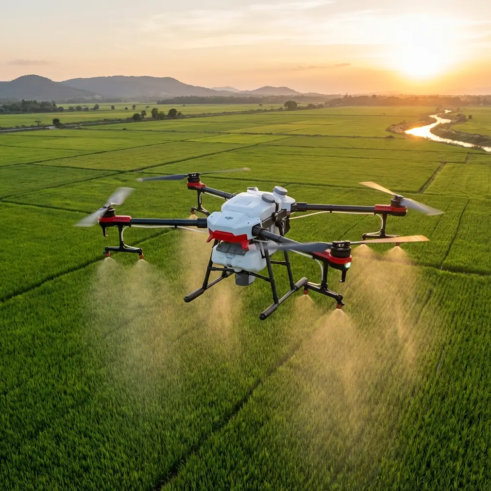
Avata in Vineyard Mapping: A Case Study in Complex Terrain and Smarter Photogrammetry
META: A field-based look at using DJI Avata around vineyards in steep, obstructed terrain, with practical workflow lessons tied to photogrammetry software, terrain extraction, and safer pre-flight habits.
Vineyard mapping sounds tidy on paper. Neat rows, repeated geometry, predictable acreage. In the field, especially on sloped ground, it turns into something else.
Terraces interrupt line of sight. Tree edges create sudden contrast shifts. Support wires and posts make low-altitude flight more demanding than an open-field survey. Add changing elevation and narrow access corridors, and the aircraft is no longer just collecting imagery. It is negotiating terrain.
That is where Avata becomes interesting.
Not because it replaces a dedicated large-area survey platform. It does not. The real value appears when a vineyard site is too cramped, too irregular, or too visually complex for a simple “fly high and grid it” approach. In those conditions, Avata can play a useful role in close-range capture, training runs, row-edge inspection, visual documentation, and targeted terrain observation that later feeds a broader spatial workflow.
This case study looks at Avata from that operational angle: not as a lifestyle FPV aircraft, but as a tool used around complex vineyard topography, where flight safety, image usability, and downstream photogrammetry matter more than spectacle.
Why Vineyard Terrain Changes the Avata Conversation
Flat farmland rewards efficiency. Vineyards in hills reward precision.
A crew mapping a vineyard in broken terrain often needs more than one data layer. The manager may want a visual record of row alignment, access paths, erosion channels, drainage behavior, canopy variation, and retaining wall condition. A grower may also need contextual imagery for planning replanting sections or checking how difficult ground shapes equipment movement.
This is where Avata’s compact form and controlled low-altitude flight profile can help. It can move through tight visual corridors that would make bulkier aircraft less comfortable to operate near vines, posts, netting, and edge vegetation. But that agility only matters if the imagery collected can fit into a structured geospatial workflow.
The reference material points to a key reality many pilots miss: image capture is only the first segment of the job. Systems like ERDAS, LPS, and ImageStation are built around a complete spatial information workflow that spans data collection, referencing, measurement, display, management, publication, and sharing. That matters in vineyards because pretty video is not the same thing as usable decision support.
If the output needs to inform drainage correction, slope analysis, access planning, or terrain understanding, the flight has to be designed for processing, not just for visibility.
The Pre-Flight Step Too Many Avata Users Skip
Before discussing software, there is a simpler issue that affects the quality of every mission: clean the aircraft’s visual safety surfaces before takeoff.
For Avata, that means checking and gently cleaning the lenses and sensing areas associated with obstacle-awareness functions, along with the main camera lens. In vineyard environments, this is not optional housekeeping. Dust from dry rows, pollen, moisture residue, and fine soil can build up quickly during transport or after a previous flight.
Why does this matter operationally?
Because in a narrow agricultural environment, obstacle avoidance is only as trustworthy as the sensor visibility. A smudged or dusted-over system can degrade the aircraft’s ability to read nearby structures consistently. In a vineyard, “nearby structures” means wires, trunks, stakes, poles, trellis hardware, and branches. That is exactly the kind of clutter that makes low-level route work unforgiving.
It also affects image quality. If you intend to use captured material for visual interpretation, row-condition review, or limited photogrammetric extraction, contamination on the lens introduces softness and contrast loss that cannot be corrected later with software.
So the first field rule in this case study was simple: before every battery cycle, wipe the camera glass and inspect the aircraft’s sensing surfaces. It takes less than a minute. In steep terrain with obstacles, that minute can prevent a lot of bad data.
What Avata Does Well in a Mapping-Adjacent Vineyard Workflow
The biggest mistake is forcing Avata to behave like a conventional broad-acre mapping aircraft. The better approach is to give it jobs that match its strengths.
In our vineyard scenario, those strengths included:
- documenting row-entry paths and service lanes
- capturing oblique visual records of terraces and embankments
- following contour transitions where runoff patterns become visible
- recording retaining walls, drainage cuts, and edge vegetation
- creating close-in reference footage for later interpretation alongside survey outputs
- training pilots to maintain stable low-altitude movement in obstacle-rich conditions
This is where features like obstacle avoidance and subject-oriented flight aids can be useful, but they should be used with judgment. ActiveTrack and related tracking logic can help when documenting moving equipment or a worker route through an access lane, yet vineyard environments are visually busy. Repeating rows, shadows, and intersecting structures can confuse automated behavior if the operator leans on it too heavily.
QuickShots and Hyperlapse also have a place, though not in the usual promotional sense. For site managers, a controlled Hyperlapse over a fixed corridor can reveal how terrain transitions relate to row layout over distance. A carefully framed QuickShot can create a repeatable visual checkpoint for seasonal comparison. The value is not cinematic flair. The value is a consistent visual reference.
D-Log matters for a different reason. In vineyards with alternating shadow and glare, especially on slopes that face changing sun angles, D-Log can preserve more tonal latitude for later review. That helps when you need to inspect subtle landform changes, drainage marks, or edge deterioration that might disappear in heavily contrast-baked footage.
Where Photogrammetry Comes In
Now to the more technical part.
The source material centers on established photogrammetry and remote-sensing platforms. One of the most useful details is that LPS can handle image orientation and aerial triangulation across multiple sensor types, including satellite and airborne sources, and across varied image formats such as black-and-white, color, multispectral, and hyperspectral data. That detail matters because vineyard operators rarely work with one perfect, standardized dataset.
A practical vineyard project often becomes a mixed-source project:
- close-range drone imagery from a compact aircraft
- historical aerial material
- satellite context for parcel boundaries or seasonal comparison
- GIS layers related to roads, blocks, irrigation, and topography
A software environment capable of handling different sensor inputs and image types is not just technically impressive. It is operationally necessary when the terrain problem is bigger than one flight.
The second key detail from the reference set is LPS Automatic Terrain Extraction, or ATE, described as a digital terrain model automatic extraction module. In vineyard terrain, this is more significant than it may sound.
Why? Because vineyards on uneven ground are not simply about what is growing. They are about the shape underneath. Slope breaks determine water flow. Bench transitions influence machinery access. Ground undulation affects row consistency, erosion risk, and maintenance cost. If your imagery can contribute to a terrain model workflow, you move from “seeing the vineyard” to understanding why parts of it behave differently.
Avata will not replace every input needed for a robust terrain model. But in a hybrid workflow, its imagery can support localized interpretation in problem areas where broader survey data needs visual context. When paired with software built for orientation, terrain extraction, orthorectification, and geospatial management, a small aircraft’s footage becomes more than documentation.
That is the real lesson from the reference material: capture alone has limited value. The power sits in the full workflow.
The Workflow That Actually Worked
For this vineyard case, the effective process was layered.
1. Define the question before the flight
Not “let’s fly the vineyard.”
Instead:
- Are we checking terrace stability?
- Reviewing row-edge erosion?
- Recording access path condition?
- Creating visual context for a terrain-modeling team?
- Training an internal operator on safe low-altitude route discipline?
That decision changed altitude, path geometry, and camera angle.
2. Clean and inspect before launch
As mentioned earlier, the pre-flight cleaning step was mandatory. Camera glass, sensing surfaces, prop condition, and frame integrity were checked every time. Agricultural dust is a silent quality killer.
3. Fly for overlap where usable extraction is expected
Even when the mission was not a full mapping run, the pilot avoided random scenic movement in areas likely to be reviewed later for measurement or interpretation. Consistency of speed, angle, and path matters if imagery may feed a photogrammetric process.
4. Capture both nadir-like and oblique references where possible
Oblique passes helped explain embankments and wall conditions. More top-down passes improved interpretability for row layout and surface continuity. In steep vineyard terrain, one angle rarely tells the full story.
5. Push outputs into a geospatial workflow
This is where the source material becomes directly relevant. ERDAS is described as spanning collection, referencing, measurement, display, management, publication, and sharing in one spatial information workflow. For commercial vineyard management, that end-to-end structure matters more than isolated image processing features. The agronomy team, site planner, contractor, and owner may all need different views of the same site condition.
6. Use terrain extraction where the question is about ground behavior
When the issue involved slope shape, runoff, or embankment form rather than canopy appearance, terrain extraction and digital ground modeling became the useful endpoint. That is exactly why an ATE-style module is operationally valuable.
Why Older Photogrammetry Systems Still Matter to an Avata User
A lot of drone content ignores the software lineage behind serious geospatial work. That is a mistake.
The reference material notes that ImageStation reflects more than 20 years of digital photogrammetry development. That history matters because vineyard mapping in difficult terrain is not a new problem invented by drones. Drones simply made certain capture tasks cheaper, closer, and more frequent.
The core challenges remain the same:
- sensor orientation
- image geometry
- terrain representation
- data integration with GIS
- turning imagery into decisions
When a platform like ImageStation is described as handling traditional aerial data, digital aerial camera data, satellite data, and close-range photogrammetry, it highlights a point Avata operators should understand: close-range capture is part of a broader measurement ecosystem. In vineyard work, that flexibility is useful because some problem zones need a near-field drone view while the surrounding estate may be managed with entirely different source data.
A Few Hard-Earned Lessons from the Field
First, obstacle-rich vineyards punish casual automation. ActiveTrack can assist, but manual oversight stays central. Repeating lines and foreground clutter can make “smart” features less smart than advertised.
Second, image discipline beats aggressive flying. In a vineyard, a smooth, repeatable pass is worth more than dramatic motion. The flight should serve interpretation.
Third, terrain always wins. If the goal is understanding slope, runoff, and access behavior, your processing chain matters as much as your aircraft choice. Software capable of orientation, triangulation, and terrain extraction is not back-office overhead. It is the difference between visual content and operational knowledge.
Fourth, Avata works best in a support role when mapping is the mission. It shines in close-in observation, gap-filling, documentation, and training within constrained spaces. It becomes much more valuable when its output is planned around established photogrammetric systems rather than treated as standalone footage.
If your team is trying to shape an Avata workflow around steep agricultural parcels and wants to compare flight methods or data handoff options, you can message a field workflow specialist here.
The Bigger Takeaway
Avata is not the whole vineyard mapping answer. It does not need to be.
Its role becomes clear when the site is awkward, the terrain is variable, and the operator needs close visual access without dragging a larger aircraft through tight, obstacle-heavy rows. In that role, it can be genuinely useful. But its usefulness rises sharply when the team thinks beyond the flight.
The reference material makes that plain. A mature spatial workflow is built on collection, referencing, measurement, management, and sharing. LPS shows why multi-sensor orientation and aerial triangulation matter. ATE shows why automated terrain extraction matters. ImageStation’s long development arc shows that close-range capture only becomes powerful when integrated into a larger photogrammetric method.
For vineyards in complex terrain, that is the standard worth aiming for.
Fly clean. Fly consistently. Capture with processing in mind.
Ready for your own Avata? Contact our team for expert consultation.