Avata Field Report: What Low-Light Wildlife Mapping Taught
Avata Field Report: What Low-Light Wildlife Mapping Taught Me About Auto Mode, Pro Control, and Usable Data
META: A field-tested look at using Avata for low-light wildlife mapping, with practical insight on camera control, D-Log workflow, obstacle awareness, and why manual capture matters more than automatic image processing.
I learned this lesson the hard way on a twilight habitat survey.
The brief sounded simple: document movement corridors along a tree-lined wetland edge without disturbing the site, then pull usable visual references for a follow-up mapping pass. The real problem was not getting airborne. It was getting images I could trust. In low light, that distinction becomes everything.
Most pilots who come into wildlife work from consumer drones or phones assume the image on the screen is the image that exists. It usually is not. That misunderstanding gets worse if you are trying to map behavior, surface conditions, canopy gaps, trail access, or shoreline edges at dusk. What looks vivid and “clean” on first review can be heavily interpreted by software before you ever inspect the file.
That is why Avata became more useful to me once I stopped treating it like a flying point-and-shoot and started treating it like a data-aware imaging platform.
The key idea is familiar to anyone who has watched the way modern phones handle photography. Across mainstream brands, the basic camera logic has become strikingly similar. Whether the device comes from Huawei, vivo, Xiaomi, OPPO, or Apple, manufacturers are effectively offering two capture paths: one for casual everyday shooting, and another for people who want deliberate photographic control. The significance of that split is bigger than it sounds. In the phone world, automatic mode is no longer a simple record of the scene. The device captures the frame, then its AI immediately reshapes the image.
That same mental model helps explain why low-light work with Avata can either support mapping decisions or quietly distort them.
When I am flying near brush lines, reed beds, or irregular forest margins at the edge of legal daylight, I am not trying to create a flattering scene. I am trying to preserve relationships inside the frame. I need to see where ground texture drops away, where a narrow animal path opens between vegetation bands, where water holds residual reflectivity, and where foreground clutter might hide a small access route for the next daytime inspection team. If the imaging system aggressively brightens shadows, smooths noise, increases local contrast, or alters color separation, the footage may become attractive while becoming less reliable.
That is the operational difference between “nice-looking” and “useful.”
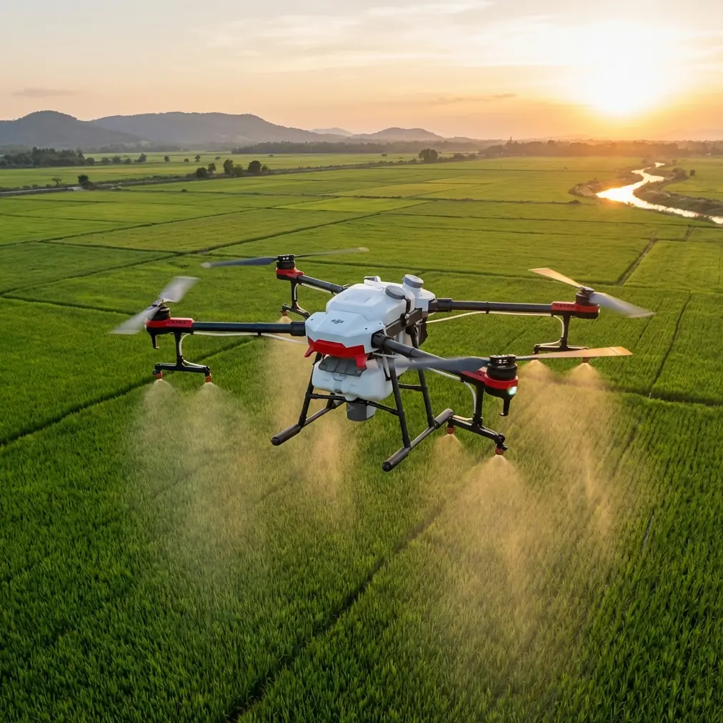
Avata fits this job well for reasons that go beyond the usual headline features. In wildlife mapping, especially in constrained areas, size and flight feel matter. A larger platform can be visually intrusive, acoustically obvious, and awkward near tree structure. Avata’s compact form lets me work tighter lines around habitat edges and under broken canopy openings without flying a machine that feels oversized for the site. For dusk work, that matters because the best visibility into movement corridors often comes from lower, slower passes that hold a stable angle through cluttered terrain.
Obstacle awareness is another part of the story, but not in the simplistic “it prevents crashes” sense. In low-light habitat work, obstacle handling changes route confidence. If I am tracing a creek border or slipping along the outside of shrubs to assess corridor continuity, I can commit more attention to framing and scene interpretation when the aircraft is helping me manage spatial risk. That does not replace pilot judgment. It reduces workload. And when the workload drops, image quality usually improves because the pilot can make more deliberate exposure and trajectory decisions instead of merely surviving the route.
I also hear people mention subject tracking and assume that means wildlife tracking in a literal sense. That is not how I use it in this context. For civilian field documentation, tracking functions are more valuable as compositional support around fixed or slow-moving reference elements: a shoreline bend, a lone tree at a corridor entrance, a section of fence line, or a visible break in vegetation. Features like ActiveTrack, when conditions allow, can help maintain consistent framing around environmental anchors while I evaluate spacing, shadow behavior, and travel paths nearby. The point is repeatability. Repeatable framing gives you better comparison between passes.
QuickShots and Hyperlapse have a place too, though not as gimmicks. On one site, I used a short repeatable automated movement to document changing light on a marsh edge over a narrow time window. The resulting sequence made it easier to separate actual path visibility from temporary contrast changes caused by fading ambient light. Hyperlapse is especially useful when you need to understand how a low-light scene evolves over several minutes without manually recreating the same camera move again and again. For mapping support, that kind of temporal consistency can be more revealing than a single hero shot.
Still, the biggest improvement came from camera discipline.
The phone-camera reference is useful here because it exposes a habit many operators bring into drone work without realizing it. If your visual instincts were shaped by modern phones, you may unconsciously expect the system to rescue every frame. The source material makes a sharp point: automatic mode is not merely capture; it is capture plus immediate AI-led image treatment. That is excellent for everyday convenience. It is less ideal when your job is to read the environment accurately.
With Avata, the answer is not to reject automation across the board. The answer is to understand where automation helps the mission and where it starts interpreting the scene for you.
For low-light wildlife mapping, I prefer a controlled workflow built around manual exposure decisions and, where appropriate, D-Log for greater grading flexibility later. D-Log matters because twilight habitats are full of tonal compromises. Water reflects the last light in the sky while banks and understory drop into shadow. A path may be visible only as a subtle midtone separation from surrounding grass. If the file is too baked, those relationships are harder to recover. A flatter profile preserves more room to decide later how to render the scene without committing in the field to an overprocessed look.
That flexibility has practical consequences. On one review session, a narrow game trail looked almost invisible in a standard-looking preview because the darker vegetation around it had been visually compressed into the same tonal family. In the graded D-Log footage, the trail edge emerged more clearly once I adjusted contrast with mapping use in mind rather than social-video aesthetics. That saved a second unnecessary dusk flight and let the daytime team approach from the correct side of the site.
There is another reason pro-style control matters: consistency across sorties.
Wildlife mapping is rarely a one-flight exercise. You return at similar times. You compare one pass against another. You look for recurring use of a corridor, fresh disturbance near nesting buffers, shifting water lines, or new human intrusion on the edge of protected land. If every session is being interpreted differently by automatic processing, you are introducing variation that has nothing to do with the landscape itself. Manual control does not eliminate every variable, but it removes one major source of confusion.
That is where the two-path idea from modern phones becomes so relevant. Everyday capture has one purpose: make the image pleasing with minimal effort. Deliberate capture has a different purpose: preserve decision-making authority for the operator. For Avata users working in wildlife and environmental documentation, that distinction is not academic. It directly affects whether your footage supports field analysis or merely looks polished.
My own workflow now starts with the question, “What will this clip need to prove later?”
If I need broad habitat context, I might use a stable, repeatable route with obstacle awareness assisting in tight spaces and a neutral capture approach that leaves grading choices open. If I need corridor continuity, I focus on consistent altitude, angle, and speed so the frames compare cleanly across multiple passes. If changing light is the issue, I use Hyperlapse or repeated motion patterns to show the scene’s evolution. If a fixed landmark matters for orientation, I may lean on tracking tools to hold the composition while I observe adjacent terrain structure. Each feature serves the mapping task, not the other way around.
This sounds technical, but in the field it actually simplifies things. The moment you stop demanding that one mode do everything, Avata becomes easier to deploy intelligently. Automated functions reduce pilot burden. Manual image control protects scene integrity. Together, they produce footage that is both manageable in the air and trustworthy in review.
For teams building repeatable survey habits, that balance is what makes Avata interesting. It is not a replacement for dedicated large-area mapping platforms. That is the wrong comparison. Its value shows up in close-range environmental documentation where access is awkward, light is unstable, and the operator needs to move carefully through confined visual space. Wetland margins, wooded boundaries, ravine edges, fence breaches near protected zones, and shaded trail systems all fit that pattern.
I would go even further: Avata is often at its best when the assignment sits between pure cinematography and formal survey work. That middle ground is common in wildlife operations. You may not need stitched orthomosaics from every mission. You may need clear spatial storytelling that helps ecologists, land managers, or site coordinators decide where to inspect next and what changed since the last visit. In those moments, flying skill is only half the job. The other half is resisting the temptation to let the camera make interpretive choices for you.
That is the lesson I wish more new operators understood.
The polished image is not automatically the honest one.
Phone makers have already trained the market to accept instant enhancement as normal. The source article lays it out plainly: mainstream brands now work from a broadly similar photographic logic, and one of the default paths is designed for casual shooting with immediate AI processing after capture. Once you recognize that pattern, you start seeing its drone equivalent in operator behavior. People trust what the screen flatters. In low-light wildlife mapping, that trust can cost you time, repeat flights, and confidence in the data.
Avata made my work easier not because it removed complexity, but because it let me separate the right kinds of complexity. I can use supportive automation for navigation, framing, and repeatability. Then I can keep photographic intent in my own hands when scene fidelity matters most.
That separation is what turned a frustrating dusk workflow into a reliable one.
If your team is trying to build better low-light documentation habits around Avata, it helps to discuss not just flight settings, but image philosophy. The real question is never “Does this look good?” It is “Will this still mean the same thing when we review it tomorrow?” If you want to compare notes on low-light field setups or environmental documentation workflows, send a message here: https://wa.me/85255379740
Ready for your own Avata? Contact our team for expert consultation.