How I’d Use DJI Avata to Monitor a High-Stakes Construction
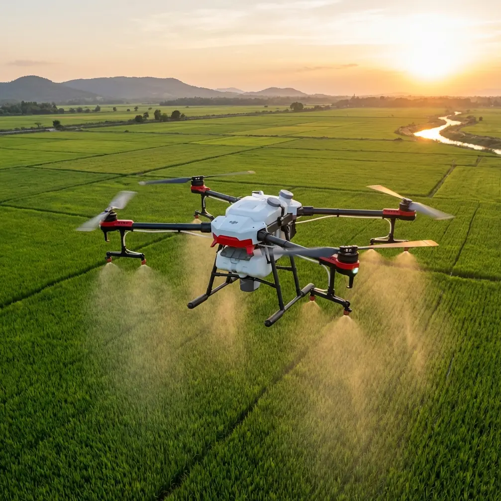
How I’d Use DJI Avata to Monitor a High-Stakes Construction Site Like the Huilai Crude Oil Terminal Bridge
META: A practical expert tutorial on using DJI Avata for construction monitoring in complex terrain, with lessons drawn from the Huilai crude oil terminal steel approach bridge project.
Some construction jobs are visually impressive. Others are operationally unforgiving. The steel approach bridge at the Huilai crude oil terminal falls into the second category, and that is exactly why it makes a useful case study for Avata pilots.
Recent reporting noted that the Huilai crude oil terminal steel approach bridge was successfully connected, marking a key milestone. That single event matters far beyond the structure itself. This terminal is the only oil supply channel for the Guangdong petrochemical refining and integration project, a 20 million-ton development. When one access structure carries that level of dependency, progress monitoring is no longer just documentation. It becomes project-critical visibility.
If your job is monitoring construction in complex terrain, this is where Avata becomes interesting.
Not because it is the biggest aircraft in the toolkit. It isn’t. And not because every site should be flown with an FPV platform. They shouldn’t. But for confined corridors, layered steel, overwater edges, temporary works, and visually cluttered routes where a conventional camera drone can feel too detached or too cautious, Avata has a specific advantage: it lets you see a site from inside the problem, not just above it.
Why this bridge project is a smart model for Avata operations
The Huilai crude oil terminal’s steel approach bridge is not just another span. Its construction progress directly affects whether the linked refining project can enter production on schedule. That operational fact changes the mission profile.
On a standard site, weekly imagery may be enough for reporting. On a dependency-heavy asset like this one, the client often needs more than broad overviews. They need confirmation of access continuity, steel connection status, installation sequencing, workfront clearance, and interface conditions between bridge sections and adjacent infrastructure.
That is difficult to read from a high, static top-down orbit alone.
A conventional aerial pass can show scale. Avata can show consequence.
Flying low and close along a steel approach structure reveals geometry, temporary obstructions, equipment placement, incomplete deck segments, clearance pinch points, and workface accessibility in a way that is immediately useful to project managers, safety planners, and progress stakeholders. On a site where one terminal functions as the only supply route, the difference between “looks nearly done” and “is operationally connectable” matters.
Where Avata fits better than many competing drones
Let’s be specific. If the assignment is broad orthomosaic mapping over a huge site, Avata is not the lead aircraft. A mapping platform or a stable camera drone with longer endurance wins that job every time.
But construction monitoring in complex terrain is not always about wide-area capture. Sometimes the hard part is navigating around partially completed structures, temporary steel, cranes, catwalks, shoreline interfaces, and uneven access corridors without losing situational awareness.
That is where Avata often outperforms more conventional options.
Its ducted design is one reason. Around structural steel, narrow work zones, and visually busy backgrounds, Avata inspires a different level of confidence for close-proximity inspection-style filming than many exposed-prop aircraft. That does not remove the need for careful planning, visual line of sight, or site permissions. It does mean the platform is more forgiving when you need deliberate movement near complex geometry.
Obstacle sensing and low-altitude handling are another part of the story. On bridge-adjacent routes, especially where terrain and temporary works create irregular pathways, that added confidence helps the pilot focus on framing and continuity instead of flying a sterile, overly distant route. Competitor drones may produce beautiful stabilized footage from a safer standoff distance. Avata excels when the real value lies in threading a meaningful path through the scene.
That distinction matters on a project like Huilai. A steel approach bridge is not best understood as a postcard image. It is best understood as an access system under assembly.
The mission plan I would use on a similar site
When I approach a site like this as a photographer and UAV operator, I do not begin with cinematic ambition. I begin with deliverables.
For a bridge or terminal access structure in complex terrain, I would divide the mission into five capture blocks.
1. Establishing context from above and offset
First, I would capture the relationship between the bridge, shoreline, terminal works, and surrounding access corridors. This gives stakeholders a geographic read on where progress sits within the larger project.
Avata can do this, though I would keep the routes simple and readable rather than trying to mimic a long-endurance survey drone. The purpose here is orientation: where the bridge begins, where it lands, what infrastructure it ties into, and what adjacent works may affect completion.
For decision-makers, this is not just pretty footage. On a project whose terminal is the sole supply route, context frames risk. It shows whether the connected structure is truly integrated or simply visually complete from one angle.
2. Longitudinal runs along the bridge alignment
This is where Avata starts earning its place.
A smooth run along the bridge centerline or side alignment can reveal connection continuity, steelwork readiness, deck status, temporary access elements, staging materials, and unresolved interfaces. This is often the most useful footage for weekly progress reviews because it mimics how the structure will actually be experienced operationally.
If the steel approach bridge has recently achieved full connection, a longitudinal pass helps verify what “connected” means in practice. Are there remaining interruptions? Is the deck clear? Are handoff areas between sections visually complete? Are there access restrictions that still separate structural completion from operational readiness?
Those are management questions disguised as visual details.
3. Side-angle reveals for structural comprehension
Bridge works can look flat and ambiguous from directly overhead. Side-angle passes show elevation, truss depth, support relationships, and work sequencing much more clearly.
With Avata, I would fly offset arcs and controlled side approaches that reveal not only the main structure but also how crews and equipment interact with it. This matters because progress is often bottlenecked not at the central span, but at interfaces: approach zones, support transitions, service pathways, and adjacent installations.
On a critical energy logistics asset, these interface details are often more informative than a simple “before and after” image set.
4. Tight environmental passes in cluttered zones
This is the segment many pilots skip because they are flying the wrong aircraft for it.
Around temporary steel, cable runs, work barges, access towers, or constricted shoreline structures, Avata can produce close, legible footage that helps teams inspect site logistics visually without putting a person into every difficult position. Not as a replacement for engineering verification, obviously, but as a fast situational layer.
This is one of the strongest civilian use cases for the platform. In industrial construction, complexity often hides in transitions and narrow spaces. Avata’s agility makes it useful for capturing those spaces while maintaining a fluid visual record.
5. Repeatable progress routes
If I were documenting the Huilai terminal bridge over multiple weeks, I would create repeatable flight paths with matching speed, altitude bands, and camera behavior. That gives stakeholders a genuine progress comparison rather than a random collection of dramatic clips.
Consistency beats spectacle in construction monitoring.
This is also where a photographer’s habits help. The strongest progress archive is built on disciplined repetition: same route, same time window if possible, same key frames, same deliverables. Avata can absolutely be part of that process when the route benefits from close-range, spatially rich movement.
Camera settings that make the footage usable, not just attractive
A lot of construction drone footage fails because it is shot like social media material instead of documentation.
For this kind of work, I would prioritize clarity and grading flexibility. D-Log is useful here because industrial sites often contain bright reflective surfaces, dark understructures, open sky, and water glare in the same scene. That dynamic range challenge is very real on terminal and bridge jobs. Shooting in D-Log gives more room to recover detail in steel, shadows, and highlights during post-production.
That is operationally significant. If the footage is meant to support progress interpretation, losing detail in shadowed steelwork or overexposed deck areas weakens the value of the flight.
I would also keep sharpening and contrast conservative in-camera. Construction stakeholders usually need readable surfaces and edges, not aggressively stylized images.
QuickShots and Hyperlapse can be useful, but selectively. A Hyperlapse sequence from a fixed viewpoint can show site evolution over time very effectively, especially if bridge segments, shoreline works, or terminal tie-ins are changing week by week. QuickShots, on the other hand, should be used only when they support orientation. Automated cinematic moves are easy to overuse on industrial sites and can make footage less practical.
What about ActiveTrack and subject tracking?
On a construction site, subject tracking is not about chasing people. It is more useful for following moving non-sensitive site elements where permissions allow and where tracking contributes to understanding workflow, such as approved vehicle movement along an access route or marine support movement near works.
Even then, I would treat ActiveTrack as secondary. Near steel structures and complex obstacles, pilot judgment should lead. Avata is strongest when the operator is making deliberate spatial choices, not outsourcing the whole scene to automation.
The real lesson here is simple: features should serve the site’s questions. If the question is whether a bridge corridor is truly ready, no auto mode can replace a well-planned manual pass.
A practical safety and workflow note
Industrial and waterfront construction sites demand coordination before takeoff. You need a briefed route, identified exclusion areas, timing that avoids sensitive lifting operations, and agreement on exactly what the client needs to see.
That is especially true when monitoring a project tied to a 20 million-ton refining integration development. The scale of the downstream dependency means visual reporting can influence scheduling conversations, contractor alignment, and stakeholder confidence. Treat the drone operation accordingly.
I also recommend building two output packages from every flight:
- a short executive summary video with clear labels and milestone references
- a longer archive cut with full route continuity for engineers, planners, and internal review
This dual-deliverable approach helps Avata footage move beyond marketing and into project management.
If your team is trying to design a similar workflow, it can help to discuss route planning and output structure with an experienced operator first via direct project coordination here.
The bigger lesson from the Huilai bridge milestone
The most useful thing about the Huilai crude oil terminal bridge story is not just that a steel approach bridge was completed. It is what that completion represents. Because the terminal serves as the only supply channel for the associated refining project, the bridge is not merely one package among many. It is a dependency node.
That is exactly the kind of asset where Avata can provide unusual value.
Not as a substitute for survey tools. Not as a replacement for engineering inspection. And not as a cinematic toy. Its value is in helping teams visualize constrained, mission-critical infrastructure in a more intuitive way than wide, detached aerial footage usually can.
For complex terrain construction monitoring, that difference is substantial. A top-down aircraft can show that something exists. Avata can show how it connects, how it reads in space, and whether the site feels operationally coherent.
When progress on one structure directly affects whether a major industrial project can come online on time, that perspective is not decorative. It is useful.
If I were assigned to cover a bridge like this, I would use Avata for exactly what it does best: close, confident, repeatable flights through the parts of the site where spatial understanding matters most. That is where it separates itself from many competitors. Not in raw scale, but in clarity at the point where complexity lives.
Ready for your own Avata? Contact our team for expert consultation.