Avata in the Mountains: A Case Study in Daily Construction
Avata in the Mountains: A Case Study in Daily Construction Monitoring Where Access Is the Real Constraint
META: A field-based case study on using DJI Avata for mountain construction monitoring, with lessons on obstacle avoidance, signal stability, multi-angle data capture, and daily remote-ready workflows inspired by DJI Dock 3.
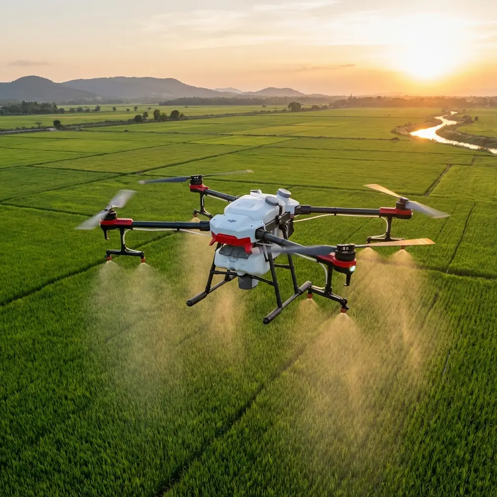
Mountain construction changes the rules.
On a flat urban site, progress tracking is mostly a matter of routine: same approach path, predictable access, stable communications, and straightforward visual coverage. In the mountains, the terrain starts dictating the workflow. Ridges block line of sight. Weather turns quickly. Machinery operates in narrow corridors. Fresh cuts, retaining structures, drainage channels, and access roads evolve day by day in places that are difficult to reach on foot. A monitoring program that works in a business park can fail badly once elevation, rock faces, and signal reflections enter the picture.
That is where Avata becomes interesting—not as a generic camera drone, but as a practical tool for short-range, repeatable, close-proximity visual intelligence on a hard-to-access construction site.
I have been looking at this through the lens of a simple question: what does a mountain contractor actually need from a drone on an ordinary Tuesday? Not cinematic hype. Not abstract feature lists. They need reliable visibility into what changed since yesterday, especially in areas a supervisor cannot inspect efficiently in person. The reference point that frames this well is DJI’s February 27, 2025 announcement of Dock 3, described as a “drone in a box” enterprise system built for 24/7 remote operations and daily aerial data collection. One phrase from that release matters more than it first appears: gather data from multiple angles, including places that are less accessible.
That is the mountain-site problem in one sentence.
Why this matters for Avata specifically
Avata is not Dock 3, and pretending otherwise misses the point. Dock 3 represents the enterprise direction of the industry: persistent, automated, remote-ready aerial operations that can support daily site intelligence without requiring a crew to improvise every mission. Avata sits in a different part of the stack. It is the close-in aircraft that can reach the awkward spaces where standard overhead capture leaves gaps.
For mountain construction monitoring, those gaps are common:
- the downhill face below a temporary access road
- the outer edge of a retaining wall under active work
- the underside view needed to confirm drainage outlet clearance
- the narrow path between stockpiles, excavators, and protective barriers
- the slope transition where erosion control has been installed but not yet inspected up close
Traditional top-down capture is useful, but it often hides the very issues that matter operationally. A slope may look finished from above while still showing exposed geotextile, loose debris, or incomplete anchoring when viewed laterally. A haul route may appear open on a map while a pinch point remains unsafe for vehicle movement. Multi-angle collection is not a cosmetic preference. It directly affects decision quality.
That is why the Dock 3 message is relevant even when the aircraft in hand is Avata. The enterprise trend is toward repeatable daily data capture, and mountain sites benefit when Avata is used as the close-range layer inside that bigger workflow.
The case: a mountain project where access costs time
On a recent style of deployment I often recommend, the goal is not to survey the whole mountain in one flight. The goal is to establish a repeatable visual circuit for the sections that change fastest and are hardest to inspect.
Think of a contractor building and stabilizing a mountain access corridor. The site includes a cut slope, drainage channels, retaining elements, a temporary vehicle route, and a few blind corners where ground supervisors cannot easily stand without interrupting work. The site manager wants daily evidence of progress and early warning of issues after overnight rain, blasting vibration, or heavy vehicle movement.
A larger platform may still handle broader mapping at scheduled intervals. Avata’s role is different. It flies the edge cases.
The best results come when the operator treats the mission less like a casual FPV outing and more like a disciplined inspection sequence:
- Fly the same route at roughly the same time each day.
- Capture the same problem zones from the same angles.
- Add a short exploratory pass only where conditions changed.
- Log environmental interference, especially in mountain cut sections.
- Compare footage side by side with prior days.
That routine begins to resemble the logic behind automated remote systems such as Dock 3: daily aerial tasks, repeatability, and coverage of less accessible areas. Even without full docking automation, the operating philosophy can be borrowed.
Obstacle avoidance is not just a safety feature here
Mountain sites are cluttered in three dimensions. Trees, cables, scaffolding, exposed rebar, equipment booms, slope mesh, and temporary fencing create layers of risk. On a wide-open site, obstacle avoidance is often seen as a convenience. In the mountains, it becomes workflow protection.
If you are checking the outer face of a retaining structure or moving along a cut edge, small disturbances matter. Wind curls around corners. GPS confidence can vary near rock walls. Lighting changes dramatically as the sun moves behind terrain. An aircraft that helps the pilot maintain control near obstacles is not simply reducing crash risk; it is preserving continuity in the daily monitoring record. Missing one day of comparable footage can break a progress trail just when the site team needs it most.
This also changes how you use speed. Quick passes look efficient, but they often create footage that is harder to interpret for construction decisions. Slow, controlled movement with consistent framing gives engineers and supervisors something actionable. If Avata is used with QuickShots or Hyperlapse, those modes should support communication rather than style. A controlled reveal of a newly opened route or a time-compressed sequence of slope stabilization progress can be useful, but only when the angle is repeatable and the subject remains operationally legible.
Handling electromagnetic interference: antenna adjustment is not optional
The mountain environment introduces another problem that gets ignored until footage starts dropping out: electromagnetic interference and signal inconsistency.
On construction sites, you are dealing with generators, temporary power infrastructure, radios, heavy equipment, and reflective terrain. Cut rock faces can complicate signal behavior. Steel structures amplify the problem. Operators often blame the aircraft first, when the real issue is how they are managing antenna orientation and line of sight.
The practical fix is simple but disciplined. Adjust the antenna deliberately as the drone moves along the slope or around a retaining line. Don’t keep the controller in one static position while the aircraft transitions behind terrain or beside metal-heavy work zones. Small changes in body position and antenna alignment can materially improve stability. In a mountain corridor, that can be the difference between finishing the inspection segment and aborting halfway through.
Operationally, this matters because daily monitoring depends on consistency. If interference repeatedly disrupts the same section of a route, the monitoring team may stop checking it as frequently. That creates blind spots exactly where access is already difficult. A trained antenna adjustment habit preserves coverage in those problem zones.
I usually advise teams to identify two or three interference-prone points during initial flights. Mark them in the mission notes. Then build response actions into the routine: pause, reorient, adjust antenna angle, regain stable signal, continue. It sounds basic. It is also one of the easiest ways to improve data reliability without changing aircraft.
Subject tracking and ActiveTrack: useful, but only with discipline
Construction teams often ask whether subject tracking can help monitor moving equipment or personnel flows. The answer is yes, in a limited and carefully managed way.
On mountain sites, ActiveTrack-style functionality is most useful for documenting repetitive movement patterns rather than pursuing dynamic action. For example:
- tracking a haul truck through a narrow access section to verify turning clearance
- following a compact excavator’s movement along a constrained bench
- observing whether material transport routes remain free of new obstructions
The key is to use tracking as a validation tool, not as a substitute for site judgment. In mountain terrain, foreground and background change quickly, and the operational question is rarely “can the drone follow this object?” The real question is “does following this object reveal a condition the site team needs to assess?” If the answer is yes, tracking can save time. If not, a fixed-angle pass may be better.
This is also where Avata’s close-range perspective adds value. You are not just documenting location. You are exposing context: side clearance, surface condition, spoil encroachment, water runoff, and interactions with temporary barriers.
D-Log and image consistency for progress comparison
A lot of teams think about image profiles only in creative terms. That is a mistake on active job sites. If your goal is daily comparison, image consistency matters because exposure swings can hide subtle changes.
Using D-Log or another controlled capture approach can help preserve detail in harsh mountain lighting, especially where one side of the site is in deep shadow and the other is reflecting bright midday light. That wider latitude is operationally useful when the footage is reviewed for surface cracks, drainage blockage, rockfall debris, or edge deterioration. The point is not to make the site look dramatic. The point is to retain information.
A mountain site can shift from high contrast to flat cloud cover in a single morning. If the footage is captured haphazardly, supervisors spend more time interpreting the image than assessing the work. Standardizing your profile and post workflow makes comparisons faster and more trustworthy.
Borrowing the Dock 3 mindset without the Dock 3 hardware
The biggest lesson from DJI’s Dock 3 announcement is not hardware envy. It is process maturity.
The enterprise message is clear: drones are moving toward 24/7 remote operations and routine daily aerial tasks, not occasional ad hoc flights. For a mountain construction project using Avata, that means the operator should think like a remote-operations manager even if every flight is still manual.
That includes:
- fixed monitoring windows
- predefined vantage points
- a route for less accessible zones
- a standard checklist for weather, interference, and obstacle changes
- a naming convention for footage by date and site segment
- a method for escalating findings to the project team
Once this system is in place, Avata stops being “the drone we occasionally fly” and becomes a dependable input into site coordination. That is the bridge between consumer-adjacent operation and enterprise-grade value.
I have seen this change the tone of meetings. Instead of vague updates—“the drainage side looked mostly okay yesterday”—teams can review a precise visual sequence from the same angle over multiple days. That is a very different management tool.
Where Avata fits best on a mountain site
Avata is strongest when used for three kinds of monitoring tasks:
1. Close-proximity progress checks
Retaining work, drainage runs, slope mesh installation, access-road edge conditions, and material encroachment are all easier to understand from a low, lateral, repeatable viewpoint.
2. Access substitution
If reaching a location on foot takes 20 minutes and exposes staff to unstable footing or active machinery, a short drone pass can often answer the immediate visual question faster and with less disruption.
3. Communication footage for mixed teams
Site engineers, supervisors, subcontractors, and remote stakeholders often interpret conditions differently. A clean multi-angle Avata sequence reduces ambiguity. That aligns directly with the Dock 3 emphasis on gathering data from multiple angles for daily tasks.
Final field note
If I were setting up an Avata program for mountain construction monitoring today, I would not start with cinematic ambition. I would start with repeatability. Pick the five views that answer the most urgent site questions. Fly them every day. Treat antenna adjustment as part of signal management, not an afterthought. Use obstacle-aware flight to protect continuity in your inspection record. Standardize image capture so subtle changes remain visible. And build the workflow around the reality highlighted by DJI’s February 2025 Dock 3 announcement: the future of useful drone work is routine, remote-ready, multi-angle data collection, especially in places people do not reach easily.
If you are planning a mountain-site monitoring workflow and want to compare route design, signal strategy, or camera setup, you can message the project desk here.
Ready for your own Avata? Contact our team for expert consultation.