DJI Avata Field Report for High-Altitude Crop Monitoring
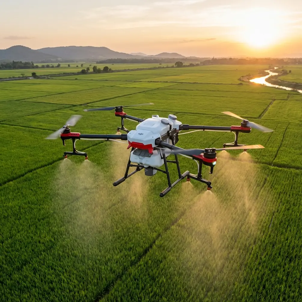
DJI Avata Field Report for High-Altitude Crop Monitoring
META: Expert field report on using DJI Avata for high-altitude field monitoring, with practical insight on obstacle avoidance, tracking limits, image workflow, and mountain-farm operations.
High-altitude field work exposes every weakness in an aircraft. Wind moves differently along ridgelines. Light changes fast. GPS can be clean one minute and messy the next as you dip near trees, sheds, terraces, or irrigation structures. That is exactly why the DJI Avata is such an interesting tool for this job. It is not the obvious choice for broad-acre mapping, and pretending otherwise misses the point. The Avata earns its place when the mission is close-in observation, fast inspection passes, and visual situational awareness in terrain where a larger camera platform feels slow, exposed, or simply awkward.
I have been looking at Avata through that lens: not as a replacement for a survey drone, but as a compact field asset for farmers, agronomists, and land managers working at elevation. If your real-world task is monitoring mountain fields, orchard edges, hillside plots, retaining walls, water channels, fences, or crop damage after weather events, the aircraft’s design starts to make sense. Its ducted prop layout, compact frame, and forward-facing sensing approach change the type of flight you can conduct with confidence.
On one recent pass over stepped fields at altitude, the most revealing moment had nothing to do with cinematic footage. A deer broke from the edge of a tree line and crossed near a narrow terrace just as the drone was easing along a contour. The Avata’s obstacle sensing and braking behavior mattered more than speed in that instant. In practical terms, that means the aircraft is better suited to low-level observational work where surprise movement is part of the environment. Wildlife, workers, cables, poles, greenhouse frames, and uneven terrain do not announce themselves. A platform that helps the pilot avoid compounding a sudden situation has operational value that spec sheets rarely capture.
That is the right starting point for any serious conversation about Avata in agriculture. Not range bragging. Not generic “smart features.” Risk control.
Why Avata fits a mountain-field role
The central challenge in high-altitude agricultural monitoring is not merely getting airborne. It is collecting useful visual information without overcommitting the aircraft. Large open-field logic breaks down quickly in broken terrain. When plots are segmented by rock walls, windbreaks, irrigation lines, and access paths, the pilot often needs to fly lower and closer to answer simple questions:
- Is there lodging along the terrace edge?
- Did runoff cut a channel through the upper rows?
- Has fencing been breached?
- Are workers able to access the slope safely?
- Did overnight weather damage netting or supports?
The Avata is strong in exactly that inspection band. Its maneuverability allows the pilot to trace terrain rather than just overfly it. That distinction matters. Looking straight down from high overhead is useful for some workflows, but it can hide slope failures, leaning posts, under-canopy issues, and sidewall damage. A drone that can skim the visual geometry of the land gives a very different read of field conditions.
Obstacle avoidance is the first major operational factor. In mountain agriculture, the threats are often not large and obvious. They are branches extending into a flight corridor, the corner of a roofline, a utility line crossing an access road, or a retaining wall that rises faster than it appears from the pilot’s position. Avata’s sensing and stabilization behavior improve survivability during this kind of close-proximity work. That does not remove pilot responsibility, especially in complex airspace or near thin obstacles, but it creates a more forgiving platform for careful inspection runs.
The second useful capability is image flexibility. D-Log and stabilized video workflows give operators more room to recover contrast in scenes where bright sky, dark tree cover, reflective water, and shadowed crop rows share the same frame. At elevation, this happens constantly. Midday glare off plastic mulch or irrigation surfaces can crush detail next to darker embankments. If the mission includes documenting stress, washout, or structural issues for later review, preserving tonal information matters more than producing a flashy clip.
What subject tracking can and cannot do here
This is where many buyers get distracted by marketing language. Features like ActiveTrack, subject tracking, QuickShots, and Hyperlapse sound attractive, but in agricultural monitoring they have to be interpreted through mission value.
Subject tracking can help when following a tractor, utility vehicle, or a worker moving along a defined path for visual context. Used carefully, that can shorten the time needed to inspect operations on a slope or monitor movement through a difficult access lane. But field professionals should treat tracking as an assist, not as a substitute for manual oversight. In high-altitude terrain, the background shifts quickly and line-of-sight can degrade fast. Trees, poles, trellis systems, and abrupt elevation changes introduce too many variables to rely on automation blindly.
ActiveTrack-style behavior is most useful when the movement pattern is predictable and the environment is relatively open. If a worker is walking a terrace edge near scattered trees and irrigation stands, manual control remains the safer choice. The Avata’s value is that it gives you both options: smart assistance where conditions support it, and highly responsive manual repositioning when they do not.
QuickShots and Hyperlapse are even more situational. They are not central to agronomic analysis, but they do have a place. A Hyperlapse sequence from the same overlook, captured across multiple days, can help visualize cloud movement, irrigation timing, access traffic, or changing light across the field face. QuickShots are less relevant for inspection itself, yet they can be useful when producing stakeholder updates, landowner reports, or communications for remote management teams who need a quick visual understanding of terrain relationships. The key is not to confuse presentation tools with diagnostic tools.
Wind, altitude, and the compact-drone tradeoff
High-altitude work punishes poor aircraft selection. Air density drops, gust behavior sharpens, and sheltered routes can turn turbulent with almost no warning. A compact aircraft like Avata brings advantages and compromises.
The advantage is control in confined spaces. The aircraft can move through inspection corridors that would feel uncomfortable with a larger multirotor. It is also less intimidating around structures and narrow work areas. For field teams who need to launch from uneven terrain, roadside pullouts, or small terrace platforms, that matters.
The tradeoff is obvious: this is not the machine for large-scale, high-efficiency acreage capture. If the mission is orthomosaic mapping over broad farmland, use a platform designed for mapping and endurance. Avata is the better tool when the question is specific and local: inspect this washout, follow that retaining wall, confirm whether animals entered through the upper boundary, or verify damage after a storm.
That distinction saves time and reduces disappointment. A lot of frustration in drone operations comes from trying to force one aircraft into every mission type. The Avata performs best when it is treated as a field scout rather than a survey workhorse.
The wildlife factor is not a footnote
The deer encounter I mentioned earlier was not unusual. High-altitude fields often overlap with wildlife corridors. Depending on region, you may see deer, elk, wild boar, raptors, livestock strays, or smaller animals emerging from hedgerows and drainage cuts. This changes how you should think about flight planning.
First, obstacle sensing is not just about fixed objects. It supports safer reaction when the unexpected disrupts your route. Second, the drone’s compact profile and controlled low-level handling can reduce the need for aggressive evasive inputs. That lowers the chance of overcorrecting into a tree, wire, or embankment. Third, operators should build wildlife buffers into every mission plan. Just because the aircraft can navigate a tight space does not mean it should press into an animal’s path.
Operationally, this matters because false confidence causes most avoidable incidents. In field environments, every “just one more pass” decision should be filtered through terrain, battery state, wind, visibility, and animal or human movement. Avata’s sensor suite helps, but it works best when paired with conservative piloting.
Image workflow for decision-making, not just footage
A drone flight has value only if the output supports action. For high-altitude field monitoring, that usually means answering a management question quickly enough to change what happens next on the ground.
This is why D-Log deserves more attention than it often gets in casual discussions. When you are documenting erosion, crop stress boundaries, irrigation leaks, or structural damage, recovering shadow and highlight detail can make the difference between “looks fine” and “there is a real issue along that edge.” Color flexibility also helps when comparing footage from different times of day, which is common in mountain environments where light angle changes the appearance of vegetation and soil dramatically.
A practical Avata workflow looks something like this:
- Fly a cautious reconnaissance pass to understand wind and terrain behavior.
- Run a closer inspection line along the feature of interest.
- Capture stable, repeatable angles for before-and-after comparison.
- Use D-Log or a flatter profile when contrast is severe.
- Export clips that answer a field question, not just the prettiest moments.
That last point is where professionals separate themselves from hobby habits. A clean shot of a ridgeline is pleasant. A repeatable low-angle clip showing whether runoff undercut the terrace wall is useful.
If you need a second opinion on setting up that workflow for your own operation, this is a practical place to start a field conversation: message the team here.
Where Avata sits in a real farm drone stack
For a serious operation, Avata makes the most sense as part of a mixed toolkit. One aircraft handles mapping or broad visual coverage. Another handles close inspection. Avata belongs in the second category.
It is especially effective for:
- hillside perimeter checks
- drainage and erosion inspection
- fence and access route review
- storm aftermath assessment
- visual inspection around trees, structures, and terrace systems
- short, controlled observational flights in terrain with many obstacles
It is less ideal for:
- high-precision surveying
- broad-acre mapping efficiency
- missions demanding long stand-off observation in heavy wind
- workflows that depend entirely on automated tracking in cluttered environments
This kind of honest fit analysis is more useful than a broad claim that the drone does everything well. It does not. But within its lane, Avata solves real problems.
The human factor still decides the mission
Pilots sometimes overestimate what “smart” features can compensate for. In mountain-field operations, experience still outranks automation. Obstacle avoidance helps. Subject tracking can assist. Stabilization improves usable footage. None of that changes the need for route discipline, battery margins, weather judgment, and restraint.
That said, the Avata lowers the barrier to collecting close-range aerial intelligence in places where a conventional setup may feel too cumbersome or too exposed. That is why it has a real role in high-altitude field monitoring. Not because it turns farm inspection into a push-button task, but because it makes hard-to-see field conditions easier to inspect safely and quickly.
For readers focused on Avata specifically, that is the headline worth keeping: this aircraft is at its best when terrain is complicated, the questions are local, and the pilot needs controlled proximity more than broad coverage. Obstacle avoidance has operational significance because mountain fields are full of hidden hazards. D-Log matters because elevation light is unforgiving and management decisions often depend on subtle visual detail. Tracking features can help, but only inside strict boundaries. And when a deer bursts across a terrace edge or a hawk cuts through your sightline, sensor-assisted stability is not a luxury feature. It is part of responsible field flying.
Used with that mindset, Avata becomes more than a recreational FPV platform. It becomes a sharp visual inspection tool for a very specific kind of agricultural environment.
Ready for your own Avata? Contact our team for expert consultation.