Avata for Urban Highway Monitoring: A Technical Review
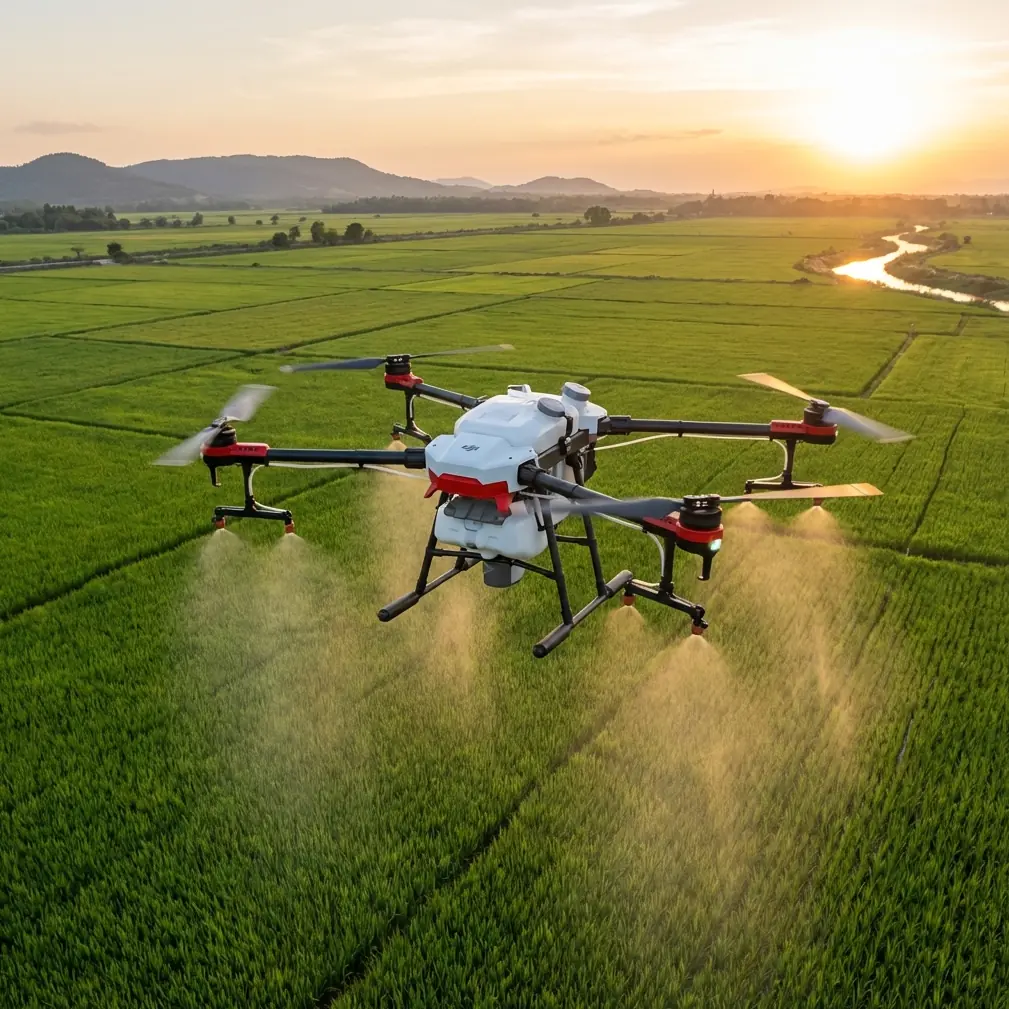
Avata for Urban Highway Monitoring: A Technical Review from the Field
META: Expert review of DJI Avata for urban highway monitoring, covering obstacle sensing, stabilized FPV capture, D-Log workflow, QuickShots, and where it fits in civilian inspection operations.
I came to the Avata from the wrong direction.
My background is photography, so for years I judged drones by how calmly they could hover, how predictably they framed a subject, and how little drama they introduced into a shoot. Highway monitoring in urban areas changed that. Elevated roads, signage clutter, concrete pillars, overpasses, noise barriers, merging lanes, and unpredictable wind corridors between buildings create a flying environment where “stable camera platform” is only part of the job. The aircraft also has to deal with tight spatial constraints while still producing footage that operations teams can actually use.
That is where the Avata becomes interesting.
Not because it replaces a conventional enterprise inspection drone in every scenario. It does not. The real value is that it approaches urban highway work from a different angle: it gives crews a protected, highly maneuverable FPV platform that can move through visually dense infrastructure and still return usable, stabilized imagery. For certain monitoring tasks, that changes the workflow more than the spec sheet suggests.
Why urban highways are unusually difficult to monitor
Anyone who has tried to document traffic flow, lane changes, bottlenecks near ramps, or the condition of barriers and under-bridge approaches in a city knows the problem. You are rarely flying in a clean open corridor. You are working around:
- overhead sign gantries
- light poles
- retaining walls
- sound barriers
- flyover sections
- narrow service access zones
- GPS-challenging reflective surfaces and concrete structures
A standard camera drone can do an excellent job for broad overhead views. But once the task shifts from “show me the corridor” to “show me what is happening along the corridor,” the limitations become obvious. The aircraft often needs to stay farther away than ideal, and the resulting footage can feel detached from the operational reality on the ground.
The Avata was built around a different flight experience. Its ducted design and FPV orientation make it more comfortable in close-proximity environments than many camera-first drones. That matters in urban highway monitoring because proximity is often the difference between generic aerial footage and visual data that helps a team understand traffic behavior, obstruction points, maintenance access issues, or signage visibility.
The protective design is not a small detail
One of the Avata’s most practical traits is also the easiest to dismiss on paper: the integrated propeller guards.
For urban work, that is not cosmetic. It is operationally significant.
When flying near barriers, underpasses, support columns, and road-edge structures, a protected prop system gives the pilot a margin that conventional open-prop aircraft do not offer. No responsible crew should fly carelessly around infrastructure, but even a careful pilot benefits from a platform designed with contact resilience in mind. In a monitoring role, that can mean more confident low-altitude passes along a retaining wall, safer inspection-style movement near overhead structures, and less hesitation in tight approach paths where visual access matters.
This is one reason the Avata feels useful for highway environments that would otherwise push operators toward either a much larger inspection setup or a ground-based camera solution. It opens a middle ground.
Obstacle awareness matters more than cinematic smoothness
The user context here includes obstacle avoidance, and that is exactly the right lens through which to judge the Avata. In urban highway spaces, obstacle awareness is not just a convenience feature. It is part of risk management.
The Avata platform includes downward sensing and systems intended to help with stability and spatial awareness in lower-altitude operations. In practical terms, this helps when you are flying along road edges, transitioning beneath elevated sections, or tracing the shape of a curved interchange where depth cues can become confusing. You still need pilot discipline. You still need line-of-sight compliance, airspace awareness, and a site-specific plan. But support systems that improve aircraft stability and reduce pilot workload become very valuable when the environment is full of vertical structures and visual distractions.
For teams monitoring highways in urban areas, that translates into a simple operational benefit: less mental bandwidth spent just keeping the aircraft comfortable in the air, and more attention available for traffic patterns, pavement edges, drainage points, signage, and choke zones.
The footage is more useful than many people expect
FPV drones are often judged as if their main purpose is dramatic motion. That misses the point in a professional monitoring context.
The Avata can produce stabilized footage that is far more readable than older FPV-style systems. For urban highway review, that readability is what counts. If the image is too jittery, operations staff cannot assess lane use, merging behavior, queue buildup, or access-route obstructions with confidence. If stabilization holds and the pilot flies with intent, the footage becomes a practical observational tool rather than a flashy clip.
This is especially true when reviewing transitions that are hard to understand from a top-down map alone: how a feeder road interacts with a mainline, where traffic visually stacks near a split, or how driver sightlines are affected by barrier geometry and sign placement.
I have seen this firsthand on infrastructure-adjacent shoots. A conventional overhead pass told the client where congestion existed. A closer Avata pass helped explain why it kept forming in the same place.
That distinction matters.
D-Log is not just for colorists
One of the reference hints here is D-Log, and in highway monitoring that deserves more attention than it usually gets.
Urban road environments are full of contrast extremes. Bright sky above an overpass. Deep shadows below it. Reflective vehicle roofs. Dark asphalt. Pale lane markings. Concrete surfaces that shift tonality as the aircraft changes angle. If you are documenting conditions for review rather than just making social media footage, preserving highlight and shadow detail has real value.
A flatter recording profile such as D-Log gives more room in post-production to recover information across those extremes. That can help analysts or stakeholders see details in shaded under-bridge areas without blowing out the sunlit road deck. It also helps when matching footage captured at different times of day so a monitoring archive remains visually consistent.
This is not about making the highway look “cinematic.” It is about retaining visual information in difficult light. On a site with alternating sunlight and shadow every few seconds, that flexibility can save a shoot.
QuickShots and Hyperlapse have a place, but not the one most people think
At first glance, QuickShots and Hyperlapse sound like creative extras rather than monitoring tools. Used casually, they are. Used deliberately, they can support infrastructure storytelling.
QuickShots can help create repeatable establishing visuals at the start of a monitoring package. That is useful when you need a consistent opening perspective showing how a particular interchange, overpass, or lane merge sits within the surrounding urban fabric. For recurring reports, consistency in the first few seconds of footage makes comparisons easier.
Hyperlapse is even more interesting. Traffic patterns are temporal. A single pass shows geometry; a time-compressed sequence shows behavior. If the assignment involves documenting how congestion forms near an on-ramp or how vehicle flow changes around a construction-adjacent bottleneck, a controlled Hyperlapse sequence can visualize change over time far more efficiently than a stack of still frames.
The key is not to treat these modes as novelty tools. In highway monitoring, they work best when assigned a clear informational purpose.
What about ActiveTrack and subject tracking?
This is where expectations need calibration.
Highway environments are full of moving objects, but that does not mean an operator should rely on subject tracking as the core flight logic for a monitoring mission. Features such as ActiveTrack or subject tracking can be useful in limited civilian documentation tasks, especially when following a maintenance vehicle in a controlled area or keeping visual consistency on a designated asset movement. But in dense urban corridors with multiple vehicles, layered infrastructure, and frequent occlusions, pilot-led control remains the better standard.
Operationally, the significance is clear: automation can support the workflow, but it should not replace site judgment. The Avata is at its best when the pilot uses its maneuverability and stability features to execute intentional routes, not when the aircraft is asked to interpret a chaotic road scene on its own.
Where the Avata genuinely saves time
The biggest workflow improvement I noticed was not speed in the air. It was reduced setup friction.
For a lot of urban highway tasks, the hardest part is not flight duration. It is finding a practical launch point, building a safe shot plan around structures, and collecting footage that is close enough to be meaningful without pushing the aircraft into an uncomfortable envelope. The Avata’s compact, guarded form factor simplifies that equation. It feels less like forcing a conventional aerial camera into a constrained environment and more like using the right tool for a narrow visual corridor.
That can shorten the gap between arrival on site and first usable shot.
For teams that need to document repeating urban road issues across multiple locations in one day, those small efficiency gains stack up quickly.
If you are evaluating whether the platform fits your own workflow, I’d suggest sending your site conditions and operating goals through this direct WhatsApp channel: share your highway monitoring scenario.
Where I would use it, and where I would not
I would use the Avata for:
- visual corridor passes beneath and alongside elevated structures
- ramp and interchange context capture
- barrier, signage, and edge-condition documentation
- traffic pattern observation where close visual perspective adds value
- recurring monitoring reports that benefit from repeatable flight paths
I would be more cautious about using it as the sole platform for:
- large-area corridor mapping
- survey-grade measurement tasks
- operations requiring long stationary overwatch from significant altitude
- missions where zoom-based standoff inspection is the priority
That distinction is healthy. Every drone does not need to do everything.
The pilot matters more than the platform
Because the Avata feels agile and forgiving, some people underestimate the discipline required to use it well in infrastructure settings. Urban highway monitoring still demands methodical planning: identifying launch and recovery zones, understanding local airspace rules, avoiding distracted operation near roads, accounting for wind tunneling between structures, and building conservative route plans around all vertical hazards.
A good Avata operator is not the person who flies the fastest. It is the person who can read the space, maintain smooth predictable lines, and capture footage that answers practical questions.
That may sound obvious, but it is the difference between attractive video and decision-grade observation.
My final read on the Avata for urban highway work
The Avata is not the standard answer to highway monitoring, and that is exactly why it deserves a closer look.
Its value shows up when the assignment involves tight infrastructure, awkward approach angles, visual complexity, and the need for footage that feels embedded in the road environment rather than detached from it. The protected propeller design improves confidence in constrained spaces. The aircraft’s stabilization makes FPV capture more readable than many teams expect. D-Log helps preserve visual detail across harsh urban lighting. QuickShots and Hyperlapse can support recurring traffic documentation when used with intent. And while tracking tools may assist in limited scenarios, this remains a pilot-first platform.
For me, that is the story of the Avata. Not hype. Not a one-drone answer to every infrastructure task. Just a very specific machine that solves a very real problem I used to run into constantly: getting close enough to understand a complex urban highway scene without turning the flight itself into the main obstacle.
Ready for your own Avata? Contact our team for expert consultation.