DJI Avata in Mountain Vineyards: What It Does Well
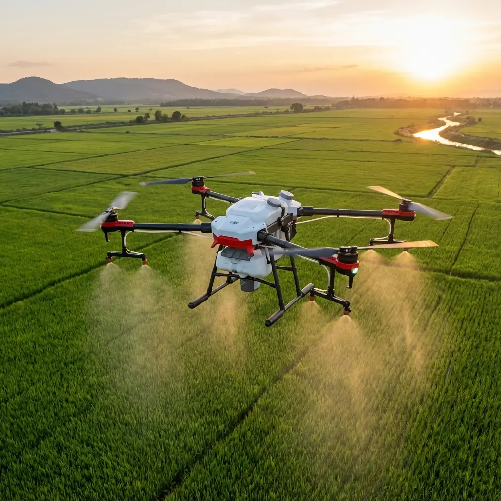
DJI Avata in Mountain Vineyards: What It Does Well, Where It Struggles, and Why It Still Makes Sense
META: A technical review of DJI Avata for mountain vineyard monitoring, covering obstacle avoidance, stabilization, video workflow, tracking limits, and where it outperforms larger camera drones.
Mountain vineyards punish weak aircraft.
Terraced rows compress the flight corridor. Wind spills over ridgelines unpredictably. Light changes by the minute as the sun drops behind slopes and tree lines. If you are trying to inspect vine vigor, check erosion along access roads, or document canopy uniformity without walking every contour by foot, the drone has to do more than capture attractive footage. It has to stay controllable in awkward spaces.
That is where the DJI Avata becomes interesting.
Not because it is the obvious first choice for agricultural mapping. It is not. And not because it replaces a larger survey platform. It does not. The reason Avata matters in a mountain vineyard is simpler: it can move through narrow, irregular terrain with far more confidence than many conventional camera drones, while still producing footage useful enough for operational review, client updates, and site documentation.
This is a technical review, not a spec dump. The real question is whether Avata is a smart tool for vineyard monitoring in steep ground.
The answer depends on what kind of monitoring you actually mean.
The first strength: controlled flight in tight terrain
Avata’s ducted propeller design changes the risk profile immediately. In a mountain vineyard, that matters more than brochure language ever will.
Traditional folding camera drones are excellent when you can maintain clean separation from trellis posts, netting, retaining walls, tree branches, and cable runs. In a terraced site, that clean separation often disappears. You may be flying along a row one moment, then crossing a stone wall or passing a support structure the next. Avata’s enclosed prop setup gives the pilot a little more margin in close quarters. Not invincibility. Margin.
That matters operationally because low-altitude inspection is often where the useful observations live. You are not just looking at the whole property from 120 meters. You are checking where runoff cut into an embankment after rain. You are examining whether one block shows weaker canopy development than the next. You are recording access routes for crews and equipment. Those tasks often benefit from a lower, more immersive pass than a typical overhead orbit.
Avata’s compact body also helps when launching from constrained terrain. Vineyard roads in mountain regions are rarely ideal takeoff pads. Sometimes you have a small clearing beside a utility vehicle, a terrace edge, or a rough turnout between rows. A drone that is comfortable operating in compressed spaces saves time before it ever leaves the ground.
Obstacle handling is useful, but don’t romanticize it
A lot of readers searching for Avata want to know about obstacle avoidance, and for vineyard work the topic deserves some honesty.
Avata is not a full substitute for pilot judgment in dense agricultural terrain. Wires, thin branches, trellis elements, and irregular slope geometry can still confuse or evade sensing systems. Anyone flying around vineyards in the mountains should assume that manual skill remains the primary safety layer.
That said, Avata’s positioning and low-speed stability are genuinely useful in the kind of uneven corridors where a heavier, wider camera drone can feel cumbersome. Its flight behavior is more forgiving when you need to ease around a retaining edge, descend along a slope, or pause near a row for a better viewing angle. In practice, that reduces mental load. And reduced mental load is not a soft benefit. It directly affects decision quality during inspection flights.
If your baseline comparison is a conventional prosumer drone built mainly for open-air photography, Avata often feels better suited to close-in route flying. That is the real competitive edge here. Not “more technology,” but better confidence in confined movement.
Wind on ridgelines: the real test
Mountain vineyards create localized wind that can surprise even experienced operators. A drone may lift from a calm terrace and hit crossflow near a ridge shoulder seconds later. For monitoring work, aircraft behavior under those conditions matters as much as image quality.
Avata is not the strongest wind platform in the broader DJI lineup, especially against larger drones with more conventional form factors and longer endurance. But it compensates with responsiveness. In gusty, terrain-broken air, a nimble aircraft can sometimes be easier to manage than a bigger platform that needs more room to recover its line.
This is one of the reasons Avata can excel against some competitors in real vineyard conditions. Many drones look superior on paper because they promise longer flight times or higher-resolution stills. Yet once the flight path narrows and the air becomes messy, the aircraft that feels intuitive and planted at short range often delivers the more useful result.
That distinction matters. Monitoring is not the same as producing a cinematic hero shot. Reliability in awkward spaces beats theoretical capability that never gets used because the pilot does not trust the aircraft near terrain.
Image quality: enough for decisions, not for full agronomic analysis
Let’s be clear about the output.
Avata can generate very usable visual records for inspection, progress tracking, route planning, and communication. It is also capable of shooting in D-Log, which gives you more flexibility when balancing highlights and shadows in mountain light. That is not a trivial advantage. Vineyards on steep ground often present bright sky, shaded rows, reflective rock, and dark vegetation in the same frame. A flatter capture profile helps preserve more of that contrast so your footage remains readable in post.
Operationally, that means you can create footage that is not just attractive but informative. You can pull back some detail from shaded row sections, tame blown skies, and maintain continuity across flights conducted at different times of day. For vineyard managers, consultants, or owners reviewing slope stability and canopy patterns, cleaner tonal control improves interpretation.
Still, Avata is not the right tool if your mission depends on detailed multispectral analysis, precise orthomosaics, or high-end photogrammetry. This is visual monitoring, not a replacement for specialized agricultural sensing.
That limitation should not be seen as a failure. It is simply the boundary of the platform.
Why the FPV perspective actually helps in vineyards
The Avata line makes more sense when you stop judging it by the standards of a traditional top-down mapping drone.
Its immersive, forward-moving viewpoint is unusually effective for terrain storytelling. In a mountain vineyard, that means one flight can reveal gradient, row spacing, drainage paths, road access, tree encroachment, and terrace condition in a way overhead imagery sometimes flattens or obscures.
This is especially valuable for owners or remote stakeholders who do not stand on the site every day. A forward pass along a slope communicates the shape of the land. It shows where machinery access is tight. It reveals how close vegetation sits to productive rows. It exposes weak spots in retaining structures. Those are practical insights.
QuickShots and Hyperlapse are often treated as consumer features, but in this setting they can have a professional use when applied carefully. A repeatable automated clip from the same vantage point can document seasonal change. A hyperlapse from a stable overlook can show fog movement, sun exposure patterns, or crew activity across terraces. Used sparingly, these modes are not gimmicks. They are visual shorthand.
Subject tracking and ActiveTrack: useful in theory, limited in practice
Readers also ask whether subject tracking or ActiveTrack helps in agricultural monitoring. Here the answer is more qualified.
Tracking can be helpful when following a vehicle along vineyard roads, monitoring worker movement through a defined corridor, or documenting equipment access on steep terrain. But vineyards are cluttered environments. Poles, rows, changing elevation, and frequent line-of-sight interruptions reduce the consistency of any automated follow behavior.
In other words, subject tracking is best treated as a secondary convenience rather than a core workflow. If it works, it saves effort. If it loses the subject behind a terrace turn or a row transition, that is not a surprise. In a mountain vineyard, manual path control remains more dependable.
That reality also separates Avata from marketing-heavy comparisons. Many aircraft advertise intelligent tracking, but the feature that matters most in difficult terrain is not whether the drone can identify a subject. It is whether the pilot can smoothly reposition the aircraft when automation stops being helpful.
Avata tends to be strong on that point.
Battery logic matters more than headline endurance
Mountain monitoring introduces inefficiency. You climb to a block, inspect one corridor, back out, reset position, and descend to another terrace. Flights are stop-start by nature. You are often reacting to terrain rather than running a clean, open route.
That means your practical endurance may feel shorter than the headline number. Avata operators should plan for shorter, focused missions instead of long, sweeping sessions. Divide the vineyard into sections. Fly one objective per battery. Treat return margin conservatively, especially when operating below ridge lines where signal and wind can shift abruptly.
This sounds obvious, but it is where many drone deployments become sloppy. A platform like Avata performs best when the mission is tightly framed: inspect the upper terrace drainage, document the western access lane, record canopy development in block three, then land. Clean task design turns a short-range agile drone into a dependable field tool.
Where Avata beats larger camera drones
For mountain vineyard use, Avata can outperform bigger, more conventional drones in four specific ways.
First, it feels safer near obstacles because of the guarded prop design. Second, it is easier to fly through narrow terrain features where side clearance is limited. Third, its forward, immersive perspective produces more informative terrain footage for non-technical viewers. Fourth, it lowers the friction of short, tactical flights.
That last point is underrated. Not every monitoring task deserves a full survey workflow. Sometimes the operator just needs to verify whether runoff damaged a terrace after a storm. Sometimes a manager wants a same-day visual update from a remote block. Sometimes a grower needs to compare morning fog retention between two elevations. Avata is good at these quick-response visual missions.
If the comparison is against a competitor focused on high-resolution static imaging, Avata may lose on pure image specs and still win the assignment because it can get the shot that the other aircraft cannot approach comfortably.
Where it does not excel
There are tradeoffs, and serious buyers should care about them.
Avata is not the best choice for precision agriculture datasets. It is not the most efficient option for large-acreage systematic coverage. It is not the easiest platform for extracting high-resolution stills across broad blocks. And if your vineyard operation depends on repeatable surveying rather than visual inspection, another aircraft type will serve better.
The mistake is assuming that all vineyard drone work is the same. It is not.
There is strategic mapping, and there is close-range operational monitoring. Avata belongs much more in the second category.
The bottom line for mountain vineyard operators
If your vineyard sits on steep, segmented ground, DJI Avata deserves consideration not as a universal farm drone but as a specialized visual reconnaissance tool.
Its practical strengths are not abstract. Ducted props reduce the stress of working near obstacles. D-Log helps preserve usable footage in harsh mountain contrast. QuickShots and Hyperlapse can support repeatable visual documentation. Tracking functions may help in selective scenarios, but manual control remains the real asset. Most importantly, Avata often succeeds where larger drones become awkward: close to terrain, inside constrained routes, and during short flights built around one immediate question.
That is why the model has staying power.
It does not try to be everything. It solves a narrower problem well.
For mountain vineyard monitoring, that can be exactly the right answer. If you are weighing whether it fits your site, a more useful next step is a mission-specific discussion rather than another generic spec comparison. You can message us directly here if you want to think through flight profiles, terrain constraints, or whether Avata should complement a larger survey platform instead of replacing one.
Ready for your own Avata? Contact our team for expert consultation.