Avata for Coastal Vineyards: A Practical Flight Guide
Avata for Coastal Vineyards: A Practical Flight Guide From the Field
META: Learn how to use DJI Avata for coastal vineyard monitoring with practical flight setups, camera advice, obstacle avoidance tactics, and safer low-altitude scouting workflows.
A coastal vineyard can humble a pilot fast. Wind rolls in from the water, rows create tunnel-like visual patterns, and trellis wires punish sloppy line choices. I learned that the hard way on an early inspection job where I tried to cover too much ground with a conventional camera drone at a cautious height. The result was clean overhead mapping, but poor visibility into what actually mattered on the vine line: canopy gaps, irrigation issues near the row base, and storm damage hiding below the leaf wall.
That is where Avata changed the workflow.
This is not about treating Avata like a replacement for every aircraft in a vineyard operation. It is not. If you need broad acreage mapping or highly repeatable orthomosaic outputs, you still reach for a platform designed for that job. But if your real task is close-quarters visual monitoring in coastal blocks—especially where terrain, wind, and row geometry complicate traditional flights—Avata offers a very different kind of advantage. It lets you inspect the vineyard from the vine’s perspective.
For growers, managers, and content teams monitoring vineyards in coastal conditions, here is how to use Avata well, where it helps most, and where its features actually matter in the field.
Why Avata fits coastal vineyard work
The first reason is simple: it is comfortable flying low and close.
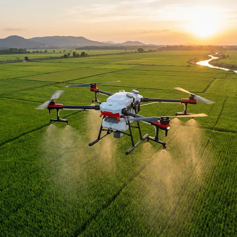
In vineyards near the coast, conditions shift quickly. Morning fog can flatten contrast. Afternoon sea breeze can pick up without warning. End rows often open into exposed zones where gusts hit harder than expected. Flying a larger camera drone through those transitions usually means keeping extra distance from obstacles and sacrificing detail. Avata is different because it is built for tight spaces and near-subject flying. Its protected propeller design gives you a margin that is genuinely useful when you are moving through rows, around posts, or near uneven vegetation edges.
That matters operationally because many vineyard issues are not easiest to see from directly overhead. A sagging canopy section, a broken end post, bird netting displacement, erosion around a drainage path, or localized mildew pressure often reads more clearly from a low oblique angle than from a straight top-down view.
Obstacle avoidance also matters here, but not in the simplistic sense people often assume. In a vineyard, avoidance systems are not magic shields. Trellis wires, thin branches, and highly repetitive row patterns can confuse any aircraft. What Avata does offer is a more forgiving low-altitude platform when paired with disciplined route planning. That combination is more valuable than relying on automation alone.
The past challenge Avata solved for me
The turning point came after a coastal site visit following a windy weekend. The manager wanted quick confirmation on three things: whether perimeter rows had sustained visible damage, whether water runoff had cut channels near the lower block, and whether a newly trained section was holding its structure.
A standard high-altitude pass showed the block layout nicely. It did not answer those questions.
With Avata, I flew low along selected rows, then crossed laterally at the problem areas. That changed everything. From that height, runoff lines were obvious. Broken foliage patterns near the perimeter made sense. A section that looked fine from above revealed uneven canopy density when viewed across the row face.
This is the real use case. Avata is not just for dramatic footage. In vineyards, it helps bridge the gap between walking inspection and aerial overview.
How to set up an Avata flight for vineyard monitoring
If your goal is useful monitoring rather than flashy flying, the setup matters more than the aircraft label.
1. Choose a narrow operational objective
Do not launch with “inspect the vineyard” as the mission. That is too vague. Break the task into one of these objectives:
- check wind-exposed perimeter rows
- inspect drainage after rain
- assess canopy consistency in a problem block
- review access roads and erosion points
- capture visual progress in a newly trained section
This keeps your route short and your footage actionable. In coastal environments, shorter targeted flights are usually smarter because the weather window can tighten quickly.
2. Fly the rows, then cross the rows
Most pilots instinctively follow the row direction only. That is useful, but incomplete.
A row-following pass helps reveal continuity issues: missing plants, inconsistent vigor, damaged posts, and visible irrigation anomalies. Then a cross-row pass shows wall density, row spacing visibility, and how the canopy presents from the side. In practical terms, both perspectives matter because the same problem can hide in one angle and stand out in the other.
This is one area where Avata shines. Its handling and compact format make these low, controlled directional changes feel more natural than with a more conventional inspection platform.
3. Respect obstacle avoidance, but do not depend on it
Obstacle avoidance is helpful when you are operating near rows, poles, and edge vegetation. It adds confidence and can reduce minor mistakes. But vineyard environments are full of thin, repeating, low-contrast obstacles. Wires and fine branches remain a real hazard.
The operational takeaway is clear: use avoidance as a backup layer, not your primary safety strategy. Build a route with clean exits, avoid aggressive turns inside tight row sections, and keep visual awareness of where trellis infrastructure narrows your line.
For coastal sites, also assume wind can push the aircraft sideways at the worst possible moment—especially near row ends where exposure increases.
Camera settings that make vineyard footage more useful
A lot of vineyard drone footage looks cinematic and tells you almost nothing. If monitoring is the goal, your camera choices should favor clarity and grading flexibility over exaggerated style.
Use D-Log when lighting is unstable
Coastal vineyards often produce mixed light in a single flight. Fog burn-off, bright sky, reflective leaves, and shaded rows can all show up in the same clip. D-Log helps preserve more flexibility in those conditions, especially when you need to recover highlight detail from bright patches while still reading texture in shadowed canopy sections.
Operationally, this is significant because vineyard monitoring often depends on subtle tonal differences, not just dramatic shapes. If one section of the row is holding moisture differently, or if canopy density shifts gradually, a flatter capture profile can give you more room to interpret the footage correctly later.
Do not overuse speed
Fast FPV-style passes look impressive, but they reduce inspection value. For monitoring, slower passes win. You want enough motion to understand spacing and continuity, but not so much that posts, leaves, and line structure smear together.
If I am checking a block visually, I want footage I can pause and review, not footage that only works as a highlight reel.
Keep your altitude intentional
A small change in height can completely change what you see.
At a slightly elevated line, you can evaluate row consistency and spacing. Drop lower, and the canopy wall begins to reveal density, gaps, and lower-vine issues. Go too low without a plan, and you lose context while increasing risk. With Avata, the sweet spot is often lower than people expect, but only when the path ahead is genuinely clear.
When ActiveTrack and subject tracking help—and when they do not
Let’s address the obvious feature interest: ActiveTrack and subject tracking.
In a vineyard monitoring scenario, these tools are not usually the core of the mission. They are most useful when your inspection includes moving assets—an ATV, utility cart, worker route, or mobile operation you want to document consistently. That can be helpful for workflow review, access planning, or showing how crews move through narrow blocks.
But for pure vine assessment, manual control is usually better. Rows are too repetitive, the environment too structured, and the inspection targets too static for subject tracking to be the main event. ActiveTrack has value, just not as a substitute for a deliberate inspection line.
This is a good example of feature discipline. The best vineyard pilots do not use every tool because it exists. They use the one that fits the question they are trying to answer.
QuickShots and Hyperlapse for monitoring progress over time
QuickShots and Hyperlapse are easy to dismiss as content tools, but they do have a place in vineyard operations.
QuickShots can help create repeatable visual references around fixed points such as a building edge, access road, drainage zone, or vineyard entrance. Used carefully, these short automated patterns create a consistent visual record that makes changes easier to compare across weeks or months.
Hyperlapse is especially useful when the vineyard team wants to show environmental change over time. In coastal blocks, weather movement is part of the story. Fog transition, cloud shadow migration, and changing wind pressure on canopy lines can all help explain what crews are seeing on the ground. A well-planned Hyperlapse sequence can document those patterns in a way that still photography often misses.
The key is intent. If you are using QuickShots or Hyperlapse, define what they are supposed to reveal. They should support a monitoring decision, not distract from one.
A practical flight routine for coastal vineyards
Here is the workflow I recommend when using Avata in this environment:
Start from the windward edge. That tells you immediately how the aircraft is behaving and whether low-row work is realistic. Do one high reconnaissance pass first—not too high, just enough to read exposure, obstacles, and changing terrain.
Next, choose one problem block rather than trying to cover the entire site. Fly one pass along the row direction, one return pass offset to expose the opposite side, then one or two cross-row cuts at the points that need closer evaluation.
If the light is mixed, record in D-Log. If the goal includes communicating progress to a non-pilot audience, add one short Hyperlapse or controlled QuickShot near a key landmark. If the manager or crew needs quick coordination while you are in the field, I often share notes and clips through a simple direct channel like message me here, especially when decisions need to happen before weather shifts again.
Then stop. Review. Decide whether a second battery is justified.
That last part matters. Some of the worst vineyard flights happen because the pilot keeps going after the useful work is already done.
Common mistakes with Avata in vineyard environments
The biggest mistake is treating Avata like a toy for cinematic row surfing. Coastal vineyards are beautiful, but they are still work sites. Inspection flights need discipline.
The second mistake is flying too low too early. Even though Avata encourages close work, the right sequence is still reconnaissance first, detail second. You need to understand wind behavior, wire placement, row width changes, and obstacle density before committing to tighter lines.
The third mistake is assuming visual drama equals operational value. A smooth low pass at golden hour may look excellent and still fail to answer a basic vineyard question. Useful footage is footage that supports a decision.
Finally, many pilots ignore side-angle evidence. They stay overhead because it feels safer. But in vineyards, side perspective often exposes the most important issues. If you never look across the canopy wall, you miss a lot.
Where Avata fits in a serious vineyard toolkit
Avata works best as a close-range visual scout.
It is the aircraft you use when you need to understand condition, not just layout. It is strong for row-level observation, terrain-following visual work, and communicating field reality to people who cannot walk every block themselves. In coastal vineyards, where wind, moisture, and terrain create very local problems, that close perspective is often the difference between “we flew it” and “we actually learned something.”
That is why I keep coming back to it.
Not because every feature needs to be used on every mission. Not because FPV alone solves agricultural monitoring. And not because obstacle avoidance or subject tracking somehow removes pilot judgment. The value comes from the way Avata lets you inspect with intent at a scale and angle that many other drones make awkward.
Used properly, it helps you see the vineyard the way the problems actually appear: low, sideways, uneven, and shaped by the coast.
Ready for your own Avata? Contact our team for expert consultation.