Avata for High-Altitude Coastline Scouting
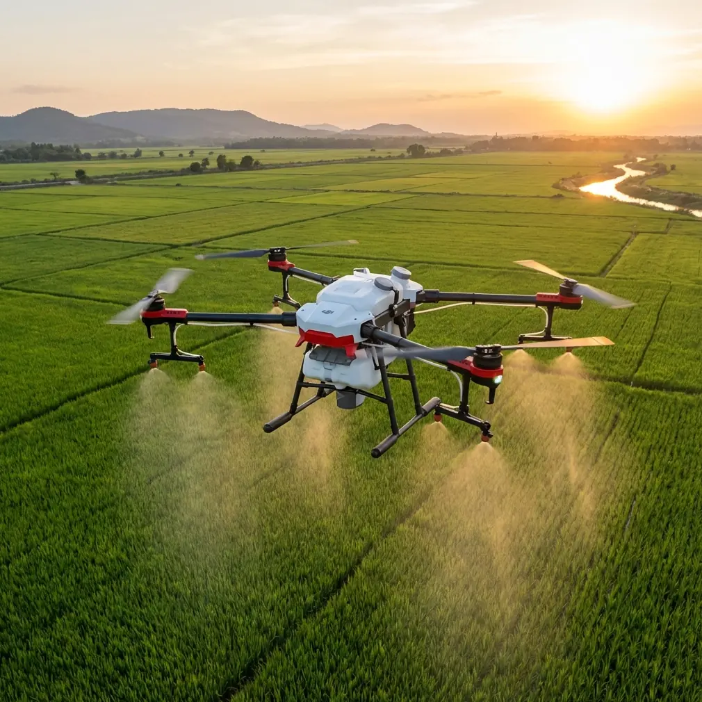
Avata for High-Altitude Coastline Scouting: What Actually Matters in the Air and in Post
META: A technical review of DJI Avata for high-altitude coastline scouting, focused on low-altitude imaging principles, wind stability, overlap challenges, obstacle avoidance, D-Log workflow, and real-world operational tradeoffs.
I’ve spent enough time around aerial imaging crews to know that the aircraft is only half the story. The other half begins the moment wind pushes your flight line off course, your overlap starts drifting, and the footage that looked fine in the goggles becomes a headache in post. That’s why Avata is worth discussing through a more technical lens, especially for coastline scouting at elevation, where air movement, terrain variation, and tight launch options all show up at once.
Avata is often talked about as an immersive FPV platform. Fair enough. But if you look at it from the perspective of a photographer tasked with documenting exposed coastal edges, cliff bands, access routes, erosion zones, or tourism infrastructure, a more interesting picture emerges. Its real value is not just the flying experience. It’s how a compact drone platform behaves when the environment refuses to cooperate.
A useful reference point comes from a 2015 technical discussion in 测绘技术装备 (Vol. 17, Issue 3), which examined low-altitude UAV image acquisition and processing. Even though that paper predates Avata by years, its core operational lessons still apply. The author notes that lightweight UAVs have minimal takeoff and landing site requirements, are easy to reposition, and can collect large-scale, high-precision imagery efficiently. That matters on a coastline more than it does on a flat inland survey block. You may be launching from a narrow turnout, a rocky overlook, or a small cleared shoulder near a trailhead rather than a broad staging area. In those situations, platform portability is not a convenience feature. It changes whether the mission is practical at all.
That same source also points to the downside of lightweight aircraft: they are easily affected by airflow and wind direction changes, which can destabilize flight attitude, shift heading away from the planned path, and cause errors in image rotation angle and overlap. That single observation is one of the best frameworks for evaluating Avata in a real scouting scenario.
Why coastline work exposes every weakness in a drone
High-altitude coastal flying is rarely aerodynamically clean. Wind rolls over ridgelines. Sea air rises and collapses against cliffs. Gusts push laterally across headlands, then suddenly drop as you dip into a cove. A drone can appear stable in one section of a route and then start fighting crossflow a few seconds later.
For conventional photogrammetry or repeatable visual documentation, that matters because image overlap is fragile. If your aircraft deviates from heading or yaws unpredictably, the capture geometry changes. If the camera angle drifts at the wrong moment, you lose consistency between passes. The older survey literature described this as a processing burden. In plain language, that means more time fixing what the atmosphere broke.
Avata doesn’t erase this problem. No compact aircraft can. But it does handle the challenge differently than many consumer camera drones. Its ducted design and close-quarters confidence let pilots work lower and nearer to terrain features that larger, more exposed airframes may approach more conservatively. For coastline scouting, that can be a real advantage when your job is to inspect rock faces, map path conditions visually, or create reference media for planners and site managers.
The distinction is subtle but important. Avata is not the best tool because wind stops existing. It’s useful because in mixed terrain—where cliff edges, structures, and irregular access points compress the operating envelope—it can keep working in places where larger drones become awkward or demand more launch discipline.
The launch footprint advantage is bigger than spec sheets make it sound
The reference material emphasizes that low-altitude UAVs need less takeoff and landing space and are easy to move between sites. That sounds obvious until you’re actually covering a stretch of coast with multiple observation points in a single day.
A coastline scouting workflow often involves frequent redeployment. You launch from a parking pull-off, then move to a higher lookout, then down toward a harbor wall, then inland to document drainage or construction interfaces. An aircraft that is quick to stage and practical in constrained launch zones saves more than setup time. It preserves daylight, battery cycles, and operator focus.
This is one area where Avata compares well with more traditional aerial imaging platforms. Some competitor drones deliver cleaner nadir mapping workflows or stronger mechanical camera flexibility, but they also assume a more orderly operating environment. Avata is more forgiving when the mission is exploratory rather than perfectly scripted. If the brief includes scouting visual lines, checking access hazards, or gathering reference footage around uneven rock formations and built shoreline assets, its compactness becomes operationally meaningful.
That aligns closely with the older UAV imaging principle: small aircraft expand access. For coastal users, that expansion is not theoretical. It means more usable launch points and fewer compromises about where the team can work.
Wind drift, overlap, and why Avata pilots should care about “survey problems”
Even if your end product is not a formal map, the survey community’s concern with overlap and rotation is highly relevant. Good coastline scouting footage needs consistency. Maybe you’re documenting seasonal erosion. Maybe you’re building a repeatable visual record for a resort expansion, a coastal path maintenance team, or an environmental planning file. In each case, stable framing and repeatable lines matter.
The 2015 source specifically warns that airflow and wind can produce heading deviation, photo rotation error, and overlap variance. Translate that to Avata and you get a straightforward lesson: don’t rely on a single cinematic pass when the wind is changing. Build redundancy into the mission.
That means:
- Fly more than one line on critical sections.
- Revisit key features from slightly different headings.
- Avoid assuming your first pass preserved the geometry you wanted.
- Check footage while still on site instead of trusting memory.
This is where the ground-side transmission principle from the reference becomes surprisingly modern. The paper notes that UAV flight data can be sent to the ground control subsystem over a wireless link, allowing operators to adjust the flight plan, reshoot poorly captured areas, or switch from automatic to manual control during urgent situations or landing. That is operationally significant for Avata because coastline scouting often forces you to make in-mission decisions.
A cliff face may cast deeper shadow than expected. White surf may blow out portions of the frame. A gusty headland may produce an unstable run that looks acceptable in the moment but not for later analysis. The ability to review, adapt, and immediately re-fly specific sections is one of the most practical habits you can build. The drone is not just a camera in the sky; it is part of a feedback loop.
Obstacle avoidance and terrain confidence
For coastline work, “obstacle avoidance” is not just about trees. It includes irregular rock shelves, railings, masts, viewing platforms, utility lines near access roads, and the deceptive visual compression that happens when flying toward dark cliff textures above bright water.
Avata’s protected form factor gives pilots a different kind of confidence in these spaces. Not invincibility—confidence. That distinction matters. On exposed coasts, precision is often more valuable than speed. The pilot who can hold a deliberate line along a contour, inspect a stair access point, or track a seawall transition without backing off prematurely is usually the one who brings back the better dataset.
Compared with some competitor models that excel in open, unobstructed cinematic cruising, Avata feels more at home in confined or geometrically busy environments. That makes it particularly effective for shoreline infrastructure scouting: boardwalk edges, retaining walls, marina approaches, and lookout structures. If your coastline mission involves weaving through terrain rather than orbiting at a distance, Avata’s design philosophy starts to make more sense.
ActiveTrack, QuickShots, and Hyperlapse: useful, but not in the way most people think
The common marketing framing around ActiveTrack, QuickShots, and Hyperlapse can be misleading for professional users. These features are often presented as shortcuts to dramatic footage. For serious coastline scouting, their value is different.
ActiveTrack can help maintain compositional consistency when following a moving subject relevant to site documentation, such as a service vehicle on a coastal access road or a small civilian vessel moving along a harbor perimeter, provided the operation is legal and safely separated. The point is not spectacle. The point is maintaining a usable relationship between subject and landscape.
QuickShots are less interesting as “effects” than as repeatable camera motion templates. In scouting, repeatability can help teams compare how a site evolves over time. A simple pre-structured reveal of a bluff edge or trail corridor can be more useful than an improvised manual move that looks stylish but can’t be replicated next month.
Hyperlapse has a niche role in coastline observation. It can visualize environmental change across a short field session—fog movement, shadow travel across cliffs, visitor flow around a viewpoint, tidal contrast along man-made structures. Used carefully, it turns time into context.
Still, none of these should distract from the core technical requirement: stable, reviewable capture. Fancy motion does not rescue weak mission planning.
D-Log and the problem of coastal contrast
Anyone who has shot the coast knows the exposure trap: dark rock, reflective water, pale sky, white foam, and sometimes deep vegetation all in one frame. This is where D-Log matters.
On Avata, a flat profile is not about making footage “cinematic” in the abstract. It’s about preserving decision-making room later. Coastlines generate brutal highlight pressure, especially around mid-day or in broken cloud. If you expose too aggressively for the land, water reflections can clip. If you protect the water, cliff detail can collapse.
D-Log gives you more latitude to balance those competing values in post, particularly when the deliverable needs to show both structure and environment clearly. For planners, inspectors, and media teams creating reference archives, this flexibility matters more than saturated straight-out-of-camera color.
The older UAV imaging reference focused on how unstable capture conditions increase downstream processing difficulty. D-Log is part of the modern answer to that problem. It does not fix poor flight stability, but it improves your ability to salvage subtle tonal information when the environment pushes the sensor hard.
Manual judgment still beats automation on exposed coastlines
One of the smartest details in the source paper is the note that operators can switch from automatic flight status to manual control during emergencies or landing. That principle deserves more respect today than it gets.
Automation is helpful, but coastline operations are full of edge cases. Wind wraps around terrain in ways route planning can’t always predict. Landing areas change as foot traffic or spray conditions shift. A route that looks clean from the launch point may contain visual dead zones once you descend.
Avata pilots who treat manual control as a backup rather than a core skill are limiting the aircraft. The best results usually come from a hybrid approach: use assisted tools where they reduce workload, then take over when the environment becomes too irregular for generic logic.
If you’re building a serious workflow around coastal scouting, it helps to talk through route design, lighting windows, and capture priorities with someone who understands both drone handling and image deliverables. For that kind of field-oriented discussion, I’d start with this direct WhatsApp line: https://wa.me/85255379740
Where Avata genuinely excels
Avata is not the strongest choice for every aerial imaging task. If your primary goal is textbook mapping efficiency over broad, open terrain, other platforms may offer a more survey-native workflow. But that’s not the whole market, and it’s not the mission here.
For high-altitude coastline scouting, Avata stands out when the work involves:
- constrained launch and recovery areas,
- frequent movement between observation points,
- close visual interaction with terrain or structures,
- changing airflow near cliffs and ridgelines,
- mixed creative and documentation needs,
- rapid review and selective reshoot on site.
That last point links directly back to the reference material. Low-altitude UAVs are powerful because they combine timeliness with flexibility, but they also create image-processing complications when winds distort flight behavior. Avata fits this reality well because it encourages an adaptive workflow. You fly, review, correct, and re-fly. The aircraft’s compact form supports that rhythm.
The real takeaway for coastal operators
The most useful way to think about Avata is not as a toy for dramatic FPV clips, nor as a perfect substitute for a dedicated mapping drone. It sits in a more interesting middle ground. It is a highly practical aircraft for visually complex, access-limited coastal environments where agility, safe proximity, and rapid redeployment matter as much as pure imaging efficiency.
And the old survey lesson still holds. Lightweight UAVs earn their place because they can get into the field quickly and collect valuable imagery, but the atmosphere will always try to corrupt your neat plan. Heading drift, overlap inconsistency, and unstable attitude are not abstract technical issues. On a coastline, they show up in every bad pass.
The skilled Avata operator plans for that. They use the drone’s portability to reach better launch points. They use real-time review to catch weak sections before leaving the site. They take advantage of D-Log when contrast turns ugly. They understand obstacle avoidance as a terrain tool, not a marketing bullet. They know when automation helps and when manual intervention protects the mission.
That is where Avata moves from being interesting to being genuinely effective.
Ready for your own Avata? Contact our team for expert consultation.