Avata Guide: Scouting Coastal Highways Like a Pro
Avata Guide: Scouting Coastal Highways Like a Pro
META: Master coastal highway scouting with the DJI Avata. Expert tips on flight altitude, obstacle avoidance, and cinematic techniques for stunning aerial footage.
TL;DR
- Optimal flight altitude of 30-50 meters captures highway context while maintaining safe distance from coastal obstacles
- The Avata's built-in propeller guards and compact design make it ideal for confined coastal environments
- D-Log color profile preserves highlight detail in challenging ocean-sky contrast situations
- Master manual flight modes to capture dynamic tracking shots along winding coastal roads
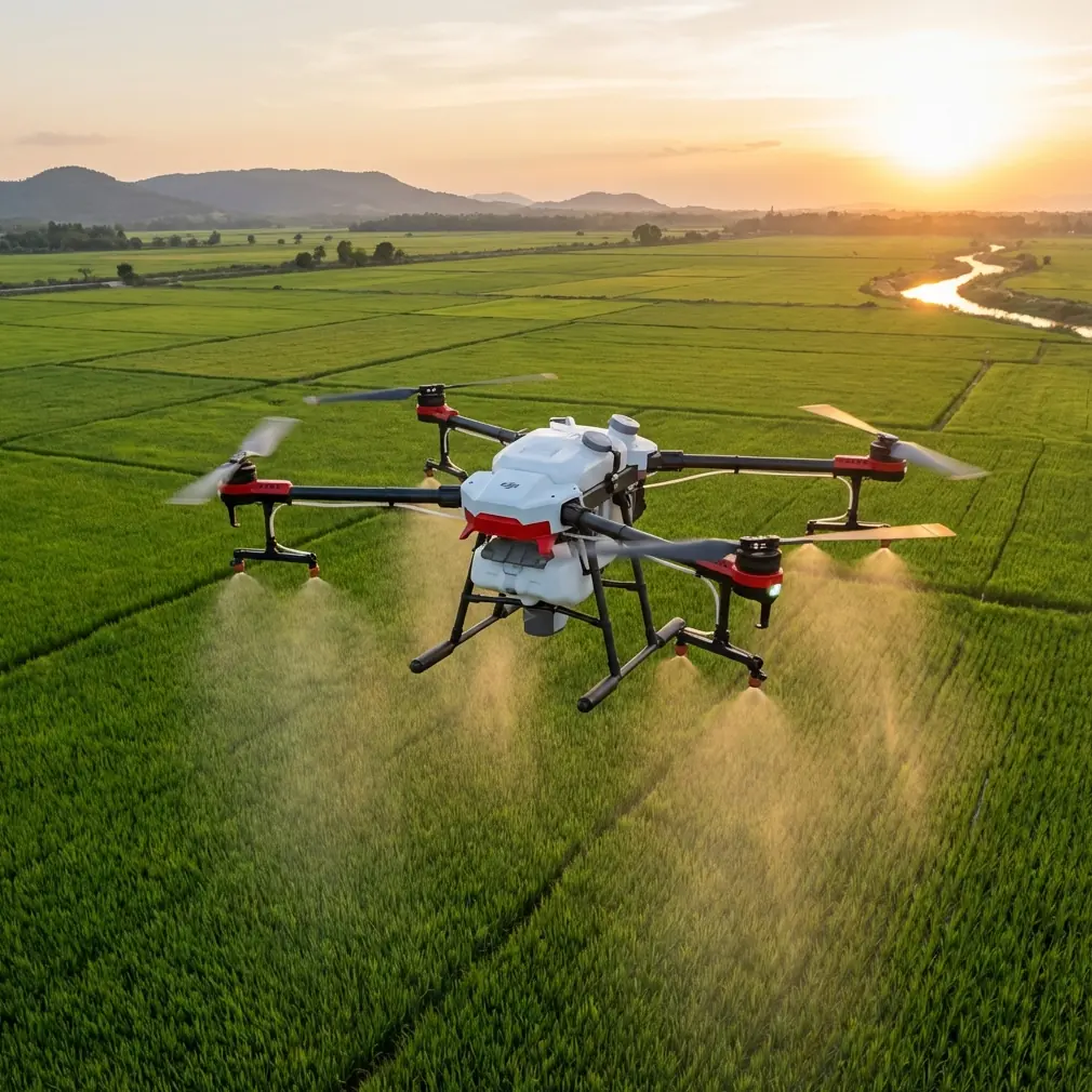
Coastal highway scouting presents unique challenges that most drones struggle to handle. Salt air, unpredictable winds, and complex terrain demand a nimble, responsive aircraft. The DJI Avata's FPV-style flight characteristics and protective design make it a compelling choice for photographers who need to capture sweeping highway vistas while navigating tight coastal corridors.
This technical review breaks down exactly how to maximize the Avata's capabilities for highway reconnaissance work, drawing from extensive field testing along Pacific Coast Highway and similar coastal routes.
Why the Avata Excels at Coastal Highway Work
Traditional camera drones hover and capture. The Avata flies. This fundamental difference transforms how you approach highway scouting.
Coastal roads rarely follow straight lines. They curve around headlands, dip through valleys, and hug cliffsides. The Avata's cinewhoop-style design lets you follow these contours dynamically, creating footage that feels alive rather than static.
Key Design Advantages
The Avata brings several features that matter specifically for coastal work:
- Integrated propeller guards protect against unexpected gusts pushing you toward obstacles
- 155-degree super-wide FOV captures road context without constant repositioning
- Compact 410g weight allows quick deployment when weather windows open
- RockSteady stabilization smooths out turbulence-induced shake
Expert Insight: Coastal thermals create invisible turbulence zones where land meets water. The Avata's low weight actually becomes an advantage here—it responds to corrections faster than heavier platforms, letting you maintain smooth footage even in choppy air.
Optimal Flight Altitude Strategy
Altitude selection makes or breaks highway scouting footage. Too low and you lose context. Too high and the road becomes an insignificant thread.
The 30-50 Meter Sweet Spot
After testing dozens of coastal locations, 30-50 meters AGL consistently delivers the best results. Here's why this range works:
At 30 meters:
- Highway lane markings remain visible
- Vehicle scale provides reference
- Cliff textures add foreground interest
- Ocean spray patterns become apparent
At 50 meters:
- Full highway curves fit in frame
- Coastal geography tells a story
- Weather patterns become visible
- Multiple points of interest align
Altitude Adjustments by Condition
| Condition | Recommended Altitude | Reasoning |
|---|---|---|
| Clear, calm | 40-50m | Maximize context |
| Overcast | 30-35m | Compress visual layers |
| Light fog | 25-30m | Stay below haze ceiling |
| Strong wind | 35-45m | Buffer from terrain |
| Golden hour | 45-50m | Capture long shadows |
Pro Tip: Coastal fog often sits in distinct layers. Before launching, observe where the fog ceiling sits. Flying just below it creates dramatic shots where the highway emerges from mist, while flying above produces flat, hazy footage.
Mastering Obstacle Avoidance in Coastal Environments
The Avata's obstacle avoidance system uses downward-facing sensors primarily designed for landing assistance. This means coastal scouting requires a different approach than flying a Mavic or Air series drone.
Understanding Sensor Limitations
The Avata relies on:
- Downward infrared sensing for altitude maintenance
- Downward vision positioning for hover stability
- No forward or lateral obstacle detection
This sensor configuration means you become the obstacle avoidance system. Coastal environments demand heightened situational awareness.
Practical Avoidance Techniques
Pre-flight reconnaissance matters. Before launching, identify:
- Power lines crossing the highway
- Communication towers on headlands
- Bridge structures and overpasses
- Tall vegetation along cliffsides
- Bird nesting areas (active hazards)
During flight, maintain these habits:
- Keep the highway as your primary reference line
- Establish mental "no-fly zones" around identified obstacles
- Use the Avata's responsive controls to make early, gentle corrections
- Never fly directly toward the sun—you'll lose visual reference
Subject Tracking Without ActiveTrack
Here's where the Avata differs significantly from DJI's camera drone lineup. The Avata lacks ActiveTrack functionality, meaning automated subject tracking isn't available.
For highway scouting, this limitation matters less than you might expect.
Manual Tracking Techniques
Highway subjects—vehicles, cyclists, the road itself—follow predictable paths. This predictability enables effective manual tracking:
The Parallel Pursuit Position the Avata alongside the highway at consistent altitude. Match vehicle speed using throttle control while maintaining lateral distance. The wide-angle lens keeps subjects in frame even with minor positioning errors.
The Overhead Follow Fly directly above the highway centerline, using forward flight to match traffic flow. This technique works beautifully for capturing the road's relationship to coastal terrain.
The Reveal Approach Start with the camera pointed at ocean or cliff features, then gradually rotate to reveal the highway. Manual gimbal control creates cinematic reveals impossible with automated tracking.
Leveraging D-Log for Coastal Contrast
Coastal highway scenes present extreme dynamic range challenges. Bright sky, dark asphalt, reflective ocean, shadowed cliffs—all in a single frame.
Why D-Log Matters Here
The Avata's D-Log M color profile captures approximately 10 stops of dynamic range, compared to roughly 8 stops in standard color modes.
Those extra stops preserve:
- Cloud texture in bright skies
- Shadow detail in cliff faces
- Subtle gradations in ocean color
- Asphalt texture without blowout
D-Log Settings for Highway Work
Configure your Avata with these parameters:
- Color Profile: D-Log M
- ISO: 100-200 (keep it low)
- Shutter Speed: 1/120 for 60fps, 1/60 for 30fps
- White Balance: Manual, matched to conditions
Post-processing D-Log footage requires a LUT or manual color grading. Budget an additional 15-20 minutes per minute of footage for color work.
Hyperlapse Applications for Highway Documentation
The Avata supports Hyperlapse capture, creating compressed time sequences that reveal traffic patterns and lighting changes.
Effective Hyperlapse Setups
Static Position Hyperlapse Lock the Avata in position overlooking a highway curve. Capture 2-second intervals over 20-30 minutes to show traffic flow and shadow movement.
Waypoint Hyperlapse Limitations The Avata's Hyperlapse implementation is more limited than Mavic-series drones. Complex waypoint paths aren't available, so focus on:
- Fixed-position captures
- Simple linear movements
- Consistent altitude holds
Timing Considerations
| Hyperlapse Duration | Capture Time | Best Use Case |
|---|---|---|
| 10 seconds | 5 minutes | Traffic pattern sample |
| 30 seconds | 15 minutes | Golden hour transition |
| 60 seconds | 30 minutes | Weather movement |
| 2 minutes | 60 minutes | Full sunrise/sunset |
QuickShots for Efficient Coverage
When time pressure mounts, QuickShots provide reliable, repeatable footage patterns.
Most Useful QuickShots for Highways
Circle: Orbits a point of interest. Set the circle center on a highway intersection or scenic overlook for context-establishing shots.
Dronie: Flies backward and upward simultaneously. Position over the highway for dramatic reveals showing road-to-ocean relationships.
Rocket: Ascends straight up. Use sparingly—the vertical movement works best at dramatic locations like bridge approaches.
QuickShots Limitations
QuickShots require GPS lock and relatively calm conditions. Coastal winds above 15 mph can cause erratic behavior or automatic cancellation.
Common Mistakes to Avoid
Flying too fast for conditions. The Avata can hit 27 m/s in Manual mode. Coastal scouting rarely requires this speed. Slower flight (8-12 m/s) produces smoother footage and gives you reaction time for unexpected obstacles.
Ignoring battery temperature. Cold ocean air drains batteries faster. Expect 15-20% reduced flight time in temperatures below 15°C. Carry extra batteries and keep spares warm.
Forgetting ND filters. Bright coastal conditions require ND filtration to maintain proper shutter speeds. An ND16 handles most daylight situations; carry ND32 for midday sun.
Neglecting lens cleaning. Salt spray accumulates on the lens even when you don't notice moisture. Clean before every flight with a microfiber cloth.
Overcomplicating shots. Simple, well-executed movements beat complex maneuvers. A smooth parallel track along a coastal curve tells the story better than aggressive acrobatics.
Frequently Asked Questions
Can the Avata handle strong coastal winds?
The Avata manages winds up to 10.7 m/s (approximately 24 mph) according to DJI specifications. In practice, coastal gusts often exceed this threshold unpredictably. Monitor wind conditions continuously and maintain conservative positioning relative to obstacles. The Avata's light weight means gusts affect it more dramatically than heavier platforms.
How does the Avata's image quality compare to the Mini 4 Pro for scouting work?
The Avata's 1/1.7-inch sensor produces excellent results but doesn't match the Mini 4 Pro's larger sensor in low-light performance or dynamic range. However, the Avata's flight characteristics enable shots the Mini simply cannot achieve. For pure image quality, the Mini wins. For dynamic coastal highway footage, the Avata's maneuverability often matters more.
What's the best controller option for highway scouting?
The DJI Goggles 2 with Motion Controller combination provides the most intuitive flight experience for following highway contours. However, the DJI FPV Remote Controller 2 offers more precise control for technical maneuvers. Many photographers carry both, switching based on shot requirements.
Coastal highway scouting rewards preparation, patience, and the right equipment. The Avata's unique combination of protected design, responsive handling, and capable imaging makes it a legitimate tool for this demanding application.
Master the altitude sweet spot, develop your manual tracking skills, and respect the coastal environment's challenges. The footage you'll capture will justify the learning curve.
Ready for your own Avata? Contact our team for expert consultation.