Avata Guide: Scouting Mountain Venues With Better Range
Avata Guide: Scouting Mountain Venues With Better Range, Safer Lines, and Usable Footage
META: Learn how to scout mountain venues with DJI Avata, including antenna positioning, obstacle avoidance strategy, D-Log workflow, QuickShots limits, and practical range tips for complex terrain.
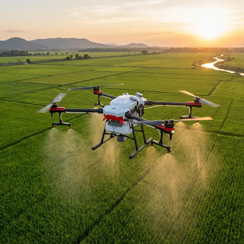
Mountain venue scouting asks more from a drone than a casual weekend flight. The route is rarely clean, the terrain is rarely forgiving, and the wind can change character in a few seconds as it rolls over ridgelines, tree bands, and exposed rock. That is exactly where the Avata becomes interesting. It is not a general-purpose camera drone trying to fake agility. It is a compact FPV platform with ducted propellers, strong low-speed control, and enough imaging flexibility to help a photographer or location scout understand a site before a crew ever arrives.
I approach this as a photographer first. When I scout a mountain venue, I am not trying to rack up dramatic clips for their own sake. I need answers. Can guests safely move between staging areas? Where does the ridge block signal? Which side of the venue falls into shadow first? Is the tree line going to choke the shot path? The Avata is useful because it can inspect those questions at human scale while still covering ground quickly.
That value rises or falls on one thing many pilots overlook: signal discipline. In mountains, antenna positioning is not a minor technical footnote. It often determines whether your scouting flight feels calm and precise or turns into a stop-start exercise in video dropouts and conservative retreats.
Why mountain scouting is different with Avata
A mountain venue is not just “a scenic location with elevation.” It is a radio environment, a wind tunnel, and a maze of partial obstructions. Even when the takeoff point seems visually open, the drone may pass behind a slope shoulder, drop below a tree canopy, or skim along rock that interrupts line of sight between aircraft and controller.
Avata handles close-in terrain work well because its enclosed prop design encourages tighter operation near branches, railings, and architectural features than many pilots would attempt with larger exposed-prop aircraft. That matters when you need to inspect a ceremony deck tucked into pines or fly a reveal path from a parking turnout toward a ridge-facing lodge. The aircraft’s obstacle sensing and low-speed controllability can reduce workload in these tighter spaces, but they do not erase mountain risk. Terrain still wins if you fly carelessly.
This is also where people misunderstand tools like ActiveTrack, QuickShots, or Hyperlapse. They can be useful during scouting, but only when you understand the operational limits of the site. A venue in complex terrain is not the place to hand control over blindly. Automated features are best used after you have already mapped safe flight corridors, identified signal shadows, and observed how wind behaves along your route.
Antenna positioning advice for maximum range
If you take only one thing from this guide, make it this: do not point the controller antennas straight at the drone as if they were laser beams. For the best link quality, you want the broadside of the antenna pattern facing the aircraft, not the tip. In practical terms, that means adjusting the controller so the flat faces of the antennas are oriented toward the drone’s operating area.
On an exposed mountain site, I stand where I can keep both visual line of sight and a clean radio path. Then I angle my body and controller toward the intended route before takeoff. If I plan to sweep laterally across a slope, I position the antenna faces toward that corridor rather than waiting to react once signal bars dip. Small adjustments matter. Turn your torso. Raise the controller a little higher. Avoid letting your own body shield the signal, especially when the drone is low and out front.
Elevation changes complicate this. If the Avata is descending into a bowl, gully, or terrace below your takeoff point, the signal may degrade earlier than expected even when the map distance looks modest. Mountain range is not just about how far the drone travels. It is about whether terrain remains between the controller and aircraft. A short route with a ridge in the middle is functionally longer than a more distant route over open air.
My rule for scouting is simple: choose a pilot position for radio geometry, not for comfort. A beautiful overlook is useless if a rocky outcrop blocks the lower venue. Sometimes moving twenty meters to one side creates a much cleaner link than staying near the obvious launch spot.
A few habits help consistently:
- Launch from a point with visibility into the first and second phase of your route, not just the immediate takeoff zone.
- Keep antenna faces oriented toward the drone’s most likely working area.
- Reposition yourself between flights if the next leg shifts behind terrain.
- Avoid standing behind vehicles, metal fencing, or dense timber if another open spot is available.
- Do not chase range for its own sake. Preserve signal margin for the return leg.
That last point matters in mountains because return paths are often flown into headwinds or through changing light. A route that feels easy outbound can become much less forgiving on the way back.
Building a scouting flight that actually answers venue questions
The Avata is at its best when the flight has a job. I break mountain venue scouting into three passes.
First is the access pass. I fly slow and low enough to evaluate roads, pull-offs, footpaths, and transitions between arrival areas and the main venue. This is where obstacle avoidance awareness matters most. You are looking for branches that intrude into likely camera paths, fencing that disappears against ground texture, and changes in slope that could affect both people and equipment carts.
Second is the layout pass. This is a wider flight designed to understand spacing. How far is the lodge from the ceremony platform? How exposed is the reception terrace to prevailing wind? Does the ridge behind the site create visual separation or visual clutter? For this pass, I pay close attention to line-of-sight continuity. If the drone momentarily drops behind a stand of trees or roofline, I note that as both a signal concern and a shot-planning issue.
Third is the light pass. This is less about navigation and more about image information. If your Avata workflow includes D-Log, use it thoughtfully here. Flat profiles help preserve highlight and shadow detail in high-contrast mountain scenes where bright sky, pale rock, and dark evergreen can exist in the same frame. For scouting, that is operationally useful. D-Log can reveal whether a venue has enough tonal separation to support your intended look, especially during late afternoon when ridges cast uneven shadow bands across the property.
A practical detail many photographers miss: scouting footage does not need to look finished, but it does need to be readable. If D-Log helps you inspect shadow retention under trees and highlight control on bright rooftops, it is doing its job.
Where QuickShots and Hyperlapse fit—and where they do not
QuickShots can help a scout communicate spatial relationships fast. A short automated reveal around a terrace, tree break, or cliff-adjacent platform can show a client or planner how a site opens up in context. But in mountain venues, I use these modes only after I have manually checked the airspace around the move. Trees on sloped ground are deceptive. The drone may appear to have ample clearance from your position while actually converging toward branches because of elevation change.
Hyperlapse is even more situational. It can be valuable if you are studying fog movement, crowd-lighting readiness, or how quickly a ridge steals direct sun from the venue. But it should be set up from a stable, low-risk position with abundant clearance and a strong signal link. This is not the mode to test while hovering near a treeline saddle where wind wraps unpredictably around the terrain.
If your mission is practical scouting, treat intelligent flight features as communication tools, not substitutes for piloting discipline.
What about ActiveTrack?
ActiveTrack sounds perfect for a scout walking venue paths, and in some cases it is useful. If you want to document the route from parking area to ceremony site or capture how a person moves through a forested walkway, tracking can create an intuitive planning asset. But mountain venues are full of visual interruptions: switchbacks, branches, shadows, railings, and abrupt elevation changes.
That means ActiveTrack should start only in a section you have already observed manually. I do not engage it until I know the route is wide enough, clear enough, and stable enough for the aircraft to follow without being baited into awkward terrain. On a narrow path under mixed canopy, manual control is often safer and more informative.
Operationally, this matters because a failed track in the mountains is not just an inconvenience. It can push the drone into exactly the kind of compromised line-of-sight position you should be avoiding in the first place.
Obstacle avoidance is useful, but it is not mountain-proofing
Obstacle avoidance is one of those phrases that can create false confidence. In a mountain venue, the hazard is not only the obvious tree trunk or building edge. It is the branch that blends into textured background, the rise in terrain that narrows your margin, the cable near a service area, or the gust that drifts the aircraft off your intended line.
The Avata’s safety systems help reduce the chances of a basic mistake becoming an expensive one. That is real value. But mountain scouting still rewards conservative route design. I prefer broad arcs over tight hero lines, and I keep escape paths in mind before I commit to any reveal through a gap or along a structure edge.
One easy test: if you cannot describe your exit route in one sentence, the line is probably too complicated for a first scouting pass.
Camera decisions that make scouting footage more useful later
Mountain footage can look spectacular while telling you almost nothing. The trick is to fly for information.
For venue scouting, I want a mix of three shot types:
- Low approach shots that show how the venue first appears to guests.
- Mid-height lateral passes that explain the relationship between buildings, decks, paths, and drop-offs.
- Higher establishing views that reveal terrain shielding, background ridges, and likely wind exposure.
This is where Avata’s FPV character becomes helpful. It can transition naturally from intimate path-level movement to a broader reveal without the detached feel some more static drone flights produce. That gives planners, photographers, and production teams a better sense of how the location actually unfolds in motion.
If you are delivering clips to a client or coordinator, keep one version neutral and readable. Then, if needed, create a second more polished sequence. Scouting should reduce uncertainty, not bury it under stylization.
A field workflow that saves time
My preferred mountain scouting sequence with Avata is compact:
- Walk the site first and identify likely signal-shadow zones.
- Choose a launch point based on radio line of sight, not scenery.
- Set antenna orientation before takeoff and re-check it before each new route.
- Fly one slow reconnaissance lap with no automation.
- Only then use QuickShots, ActiveTrack, or Hyperlapse where the terrain supports them.
- Capture at least one D-Log pass if the light is contrast-heavy.
If I am scouting for a team and want to compare route ideas afterward, I share a short note with screenshots and path recommendations. If you need another set of eyes on a mountain venue workflow, I sometimes send field notes through this direct planning chat because it is faster than rebuilding decisions later from memory.
The real advantage of Avata in mountain scouting
The strongest argument for using Avata in the mountains is not speed or spectacle. It is confidence in tight, uneven spaces. The aircraft can inspect venue edges, transitions, and approach paths with a level of immediacy that is genuinely useful for photographers, planners, and operators trying to de-risk a location.
Still, the drone does not erase the basics. Keep the antenna faces aimed properly. Protect line of sight. Respect terrain more than the map view. Use automation after manual verification, not before. And remember that the most valuable scouting clip is often the least dramatic one: the pass that reveals a blocked route, a signal dead zone, or a shadow problem before shoot day.
That is how the Avata earns its place in mountain venue work. Not as a toy for cinematic flourishes, but as a compact reconnaissance tool that helps you arrive prepared.
Ready for your own Avata? Contact our team for expert consultation.