DJI Avata Guide for Scouting Vineyards in Windy Conditions
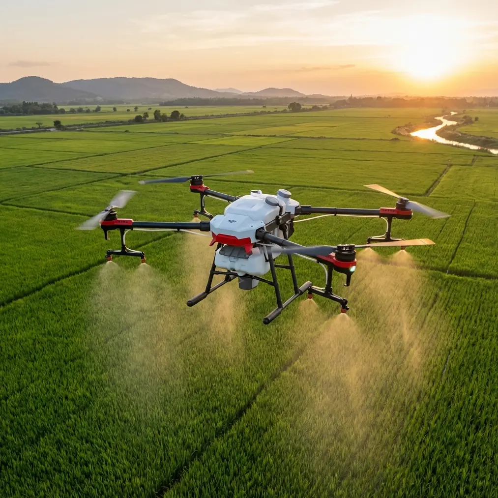
DJI Avata Guide for Scouting Vineyards in Windy Conditions
META: Practical Avata field guide for vineyard scouting in wind, with obstacle avoidance, camera settings, flight planning, and antenna positioning advice for stronger signal and cleaner footage.
Wind changes everything in a vineyard.
Rows that look orderly from the ground turn into narrow channels that accelerate gusts, push a small FPV drone sideways, and punish sloppy route planning. If you are scouting vines with the DJI Avata, that matters more than any spec-sheet talking point. The aircraft is compact, protected, and unusually confidence-inspiring around tight spaces, but vineyards in breezy weather expose the difference between casual flying and purposeful aerial fieldwork.
I shoot landscapes and agricultural properties, and vineyards are some of the most deceptively difficult locations to fly. They invite low passes. They demand stable framing. They also present repeating geometry that can confuse your eye when the wind starts moving the aircraft off line. The Avata can handle this work well, but only if you treat the mission as a problem to solve rather than a joyride.
The problem is straightforward: you need clear, useful footage of vine rows, canopy condition, access roads, drainage patterns, and terrain transitions, yet the very conditions that make a scouting flight necessary often make the air messy. Windy days reveal weak trellis sections, exposed slopes, pooling areas, and spray drift patterns. They also increase the chance of signal loss, rushed stick inputs, and bad camera decisions.
The solution is not simply “fly higher” or “fly faster.” With Avata, the better answer is to build a vineyard-specific workflow around route discipline, conservative control settings, obstacle awareness, and signal management.
Why Avata fits vineyard work better than many pilots expect
Avata is often discussed as a cinematic FPV craft, but that undersells its practical usefulness in agricultural property scouting. Its ducted design gives you a margin of comfort near posts, wires, and row-edge vegetation that open-prop drones do not. That does not make it collision-proof, but it does make it more forgiving when you need to fly close to a line of vines to inspect spacing, vigor differences, or missing sections.
That protective design becomes operationally significant in vineyards because the environment is full of minor hazards rather than one dramatic obstacle. Trellis wire, irrigation risers, netting, poles, and uneven terrain all sit in the “easy to underestimate” category. A drone that lets you work slowly and precisely at low altitude is more useful here than one that only feels good on broad, open passes.
Obstacle awareness also matters, but with a caveat. If you are relying on obstacle avoidance as a substitute for planning, the vineyard will teach you a lesson quickly. Repetitive row patterns, thin wires, and shifting shadows can challenge any system. The better use of obstacle sensing is as a backup layer while you maintain a route with generous lateral clearance. In other words, let the drone help, but do not make it responsible for your judgment.
The real challenge: wind inside the rows
Pilots often evaluate wind from the takeoff point and stop there. That is a mistake in vineyards. A reading in the open headland does not tell you what happens once the Avata drops into the rows. Wind gets redirected by slopes, tree lines, retaining features, and the rows themselves. A mild crosswind at launch can become a stronger side push 2 meters above the canopy.
This is where the Avata’s controlled, planted feel is valuable. You can use that stability to make short, repeatable scouting passes rather than long hero flights. For practical vineyard work, I suggest dividing the property into segments and flying each one with a single purpose: canopy overview, row alignment check, infrastructure inspection, or terrain assessment.
That approach gives you better footage and better decisions. It also reduces battery waste because each flight answers a defined question.
A good example is a block with uneven vigor on a hillside. Instead of trying to cover the entire vineyard in one continuous run, you can fly three short lines: one across the contour to show drainage, one along the row to show canopy density, and one slightly higher to establish relation to access roads. The Avata is especially effective at these layered passes because it can move from immersive low-level flight to controlled overview framing without feeling cumbersome.
Camera setup that actually helps in the field
Wind magnifies every poor camera choice.
If your shutter and stabilization choices are off, vine rows start to shimmer, micro-jitters become obvious, and the footage loses scouting value. For vineyard work, clean readability is often more important than dramatic motion. That is one reason D-Log can be useful on Avata. It preserves more flexibility for balancing bright sky against darker rows and shaded ground, especially during late afternoon flights when contrast becomes aggressive.
Operationally, that matters because vineyards often present white dust roads, reflective leaves, dark soil, and bright gaps in the canopy within the same frame. A flatter capture profile gives you more room to keep detail in those competing zones when reviewing material later.
I do not recommend leaning too heavily on automated creative modes when the purpose is scouting, but QuickShots and Hyperlapse still have a place if used intentionally. A short Hyperlapse from a stable vantage can reveal cloud shadow movement, wind direction across blocks, and traffic flow on internal roads. A carefully chosen QuickShot can help establish the shape of a parcel for clients or farm managers who need context before reviewing close inspection footage.
That said, your primary passes should be simple. Straight. Repeatable. Easy to compare with prior flights.
Subject tracking and ActiveTrack get mentioned a lot around Avata-related workflows, but vineyards call for realism. If the mission is following a vehicle, an ATV, or a worker moving through a service lane, tracking can save time. If the goal is inspecting trellis condition or canopy uniformity, manual route control is usually the smarter option. Repeating lines and partial visual obstructions can make automated tracking less relevant than precise pilot input.
How to fly lower without flying recklessly
The biggest temptation in a vineyard is to skim too close.
Low flight looks useful because it emphasizes row texture and leaf structure. Sometimes it is useful. But in wind, flying just above canopy height can put the Avata in the least predictable air on the property. The safer pattern is to start with a higher reconnaissance pass, identify the calmer corridors, and then descend only where the airflow feels consistent.
I usually think in three layers.
The first layer is the mapping view: high enough to read the block shape and spot obvious problem zones. The second layer is the operational view: low enough to inspect rows and infrastructure but high enough to recover from a gust without immediate contact risk. The third layer is the detail pass: brief, targeted, and reserved for specific problem areas.
This method matters because vineyards often hide hazards until the last second. A line of posts can look perfectly regular from one angle and reveal sagging wire from another. A service road can appear clear until a dust plume exposes a crosswind. The Avata’s compact frame and protected prop layout help, but the real safety margin comes from disciplined altitude selection.
Antenna positioning advice for maximum range
Signal management is where many otherwise strong vineyard flights start to unravel.
Rows, terrain undulation, tree lines, equipment sheds, and even your own body position can weaken the link between pilot and aircraft. In a vineyard, that effect shows up quickly when the drone moves behind a rise or drops deep into a block while you remain at the edge.
Here is the practical advice that makes the biggest difference: do not point the antenna tips directly at the drone. For stronger range and more reliable penetration, orient the antennas so their broad sides face the aircraft. Think of the signal radiating outward from the sides, not projecting like a laser from the ends. If you are using goggles or a controller setup with adjustable antennas, keep them parallel and aimed so the flat faces cover the expected flight area.
That single adjustment is operationally significant because vineyard scouting often involves lateral passes across a slope rather than simple out-and-back flights. If you keep the strongest part of the antenna pattern aligned with the aircraft’s path, link quality tends to hold up better as the Avata moves across rows or down shallow terrain breaks.
Your own position matters too. Stand where you can maintain clear line of sight over the block, ideally slightly elevated rather than tucked beside a vehicle or structure. Do not launch from the lowest point if the mission will take the drone behind a ridge or terrace. A few extra meters of pilot elevation can be worth far more than a more aggressive flight path.
If you want a second opinion on field setup, this quick Avata flight chat is a practical place to compare range strategies before heading out.
Obstacle avoidance is a tool, not a plan
Vineyards create a false sense of order. Straight rows look simple. They are not.
Obstacle avoidance can help when you are transitioning near row ends, service structures, or isolated trees, but the agricultural environment contains too many small, low-contrast hazards to fly casually. Thin wires remain the classic problem. Netting can be worse because it changes shape and visibility with light angle. Wind adds another layer by moving leaves and canes into your path during turns.
The right mindset is to design your route so obstacle avoidance rarely needs to intervene. Fly with buffer space. Avoid diagonal shortcuts through unknown sections. Make turns in open headlands where possible. And when you lose confidence in what is ahead, stop the progression and climb. That simple habit prevents a surprising number of incidents.
What footage is actually useful after the flight
A scouting mission succeeds on the ground, not in the air.
After landing, the useful clips are usually not the flashiest ones. They are the sequences that answer practical questions: Where does the canopy thin out? Which row ends are hard to access? Is runoff collecting on the lower slope? Are wind-exposed sections showing consistent stress? Can a manager compare one block against another without guessing orientation?
This is why repeatability beats improvisation. If you fly similar altitudes, similar headings, and similar speeds on future visits, your Avata footage becomes a visual record rather than a one-off highlight reel. That is especially valuable in vineyards where changes unfold gradually and are easy to miss from ground level.
Hyperlapse can support that record if you use the same vantage and direction across multiple dates. D-Log can support it by preserving detail in difficult light. Even ActiveTrack has a role if you consistently follow the same vehicle route to document access conditions after wind or rain. The features matter less as buzzwords than as tools chosen for a precise field task.
A vineyard workflow that keeps Avata effective
For windy vineyard scouting, I recommend a simple sequence:
Start with a broad perimeter pass to judge airflow and identify obstacles. Then fly two or three operational lines that answer the day’s main question. Save close detail passes for the end, once you understand the behavior of the air inside the block. Keep your antennas oriented correctly, maintain line of sight, and move your pilot position if terrain starts to shield the aircraft. Use obstacle awareness as insurance, not permission. Capture in a profile that protects highlight and shadow detail when contrast is harsh.
That workflow respects what the Avata does well. It is agile, compact, and confidence-building in confined spaces. It can deliver excellent vineyard footage in wind, but only when the pilot treats range, route geometry, and environmental reading as part of the camera craft.
For vineyard scouting, that is the real takeaway. The Avata is not just a fun FPV platform repurposed for farm work. In the right hands, and with smart antenna positioning plus disciplined low-altitude planning, it becomes a serious tool for seeing how a vineyard behaves when the weather starts telling the truth.
Ready for your own Avata? Contact our team for expert consultation.