How I’d Prep and Fly an Avata for Mountain Highway Spraying
How I’d Prep and Fly an Avata for Mountain Highway Spraying Support Work
META: A practical, expert-led Avata how-to for mountain highway spraying support, covering pre-flight cleaning, obstacle sensing, D-Log, QuickShots, Hyperlapse, and safer close-range visual operations.
Mountain highway spraying is one of those jobs that looks straightforward from a distance and gets complicated the moment you arrive on site. Steep cut slopes, changing wind, concrete barriers, bridge sections, utility lines, blind bends, and patchy GNSS conditions all stack up fast. That is exactly why a small, protected FPV platform like the DJI Avata can make sense as a support aircraft for civilian roadside operations.
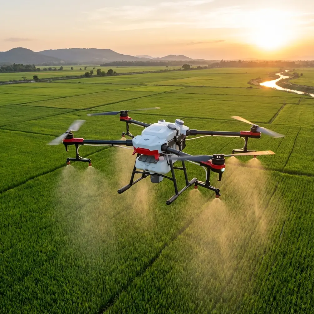
To be clear, the Avata is not a liquid-spraying drone. It is far better used as a close-range visual tool around the spraying workflow: route preview, hazard spotting, structure checks, documenting coverage zones, and creating repeatable footage for training crews who work in difficult mountain corridors. In that role, the aircraft’s compact form and ducted prop layout matter a lot. You can work nearer to barriers, embankments, culverts, and retaining walls with a bit more confidence than you would with a larger, open-prop camera platform, provided you still maintain disciplined separation and safe operating margins.
I approach the Avata differently when the mission is tied to mountain highway spraying support. This is not a casual scenic FPV session. It is a methodical, safety-first job. And that begins before the battery goes in.
Start with the one step many pilots rush: clean the safety system first
If I had to pick one pre-flight habit that most improves real-world performance in this environment, it would be cleaning the sensors and camera surfaces before every launch.
That sounds minor until you consider what roadside spraying support actually exposes the aircraft to. Fine dust from shoulders. Moisture in shaded cut sections. Mist from vegetation management. Grime kicked up by passing traffic. In mountain areas, temperature swings can also leave a light film on exposed surfaces. Any of that can interfere with obstacle sensing performance or degrade the image you rely on to judge wires, branches, spray drift, rockfall debris, or guardrail damage.
The Avata’s downward sensing and binocular vision system are operationally significant here because low-level work around uneven roadside terrain depends on stable positional awareness. If those surfaces are smeared, your margin shrinks. The same goes for the main camera lens. A slightly dirty lens is not just a cosmetic problem. It can soften contrast at the exact moment you are trying to distinguish a cable from a shadow line on a dark rock face.
My sequence is simple:
- Power off fully.
- Inspect the lens, lower sensors, and vision-related surfaces in bright light.
- Use a blower first, then a clean microfiber cloth.
- If there is residue, use lens-safe cleaning fluid sparingly on the cloth, not directly on the aircraft.
- Check for moisture around ducts and body seams before battery insertion.
This step is especially relevant if the aircraft was previously flown near sprayed vegetation, damp road edges, or dusty maintenance staging areas. A clean sensor suite gives obstacle avoidance-related systems the best chance to do their job as intended. A clean lens also means your recorded footage is actually useful later, whether for documenting slope conditions or training a ground crew.
Define the mission correctly: Avata as a support aircraft, not the sprayer
When people hear “spraying highways in mountain,” they often jump to the wrong aircraft category. The Avata belongs on the observation and documentation side of the job.
That distinction matters operationally.
A mountain highway spraying team may need:
- A pre-job pass to inspect barriers, culverts, signs, and vegetation density
- Visual confirmation of access roads and safe crew positions
- Documentation of hard-to-see roadside sections before and after work
- Training footage showing the right vehicle staging and hazard spacing
- Low-altitude checks around retaining walls, drainage channels, and steep embankments
The Avata is strong in those close-range, situational-awareness tasks because it can maneuver through constrained roadside geometry and capture footage from perspectives that are awkward for a larger drone or impossible from a truck. Its compact body and guarded propellers reduce the intimidation factor in tight spaces, but they do not remove the need for conservative flying.
If your crew needs help planning that support workflow around local conditions, a quick field coordination chat through this WhatsApp contact can save wasted setup time.
Build a mountain-road pre-flight checklist around terrain, not habit
A generic checklist is too soft for this kind of site. Mountain highways are dynamic corridors. I structure the pre-flight around four questions.
1. Where will the wind behave differently than it looks from the road?
On mountain routes, surface wind at the pull-off can be calm while air moving along a cut slope or over a barrier can be turbulent. The Avata’s size is an advantage near infrastructure, but it also means gust behavior is felt quickly. I walk the site and identify:
- Funnel points between rock faces and bridges
- Crosswind sections above embankments
- Shaded valleys where air movement changes direction unexpectedly
- Gaps in vegetation that create sudden gust channels
This determines whether I fly the inspection line uphill, downhill, or in short segmented hops.
2. What obstacles matter most at Avata height?
With a platform like this, you are often operating in the visual layer where small hazards become big ones. Not just poles and wires. Think reflector posts, sign brackets, cable anchors, tree limbs extending over barriers, netting on slopes, and drainage outfalls. Obstacle avoidance is helpful, but mountain-road work rewards pilots who spot geometry before the aircraft gets close enough to ask the system for help.
3. What visual deliverable is actually needed?
If the spraying team needs a clean before-and-after record, I may prioritize stable, repeatable passes. If they need a quick access review, I might use short manual flights and annotated clips. If the footage is for training, framing and path consistency matter more than cinematic flair.
4. What is my recovery plan if GNSS quality drops?
Mountain corridors and infrastructure can complicate signal geometry. The Avata should be flown with this in mind from the start. Choose launch points with clean re-entry paths. Keep lines short. Avoid putting yourself in a position where the easiest return route passes through obstacles that were harmless on the outbound leg but risky under pressure.
Use the camera modes with discipline, not for novelty
The Avata often gets discussed through the lens of immersive flying, but for roadside spraying support, the camera toolset is only useful if each mode serves a job purpose.
D-Log for difficult light separation
Mountain highways often swing from harsh sun to deep shadow in the space of a single pass. D-Log is valuable because it preserves more flexibility when you need to recover details from bright concrete, reflective signage, dark vegetation, and shaded rock surfaces in the same shot. That is not a stylistic preference. It affects whether supervisors can actually read the terrain and assess conditions from the footage later.
If you are documenting vegetation overgrowth near barriers or checking drainage lines under changing light, D-Log gives you more room in post to normalize the scene and make features visible.
QuickShots for repeatable demonstration clips
QuickShots are often treated as beginner features, but they can have a place in training and briefing. A consistent automated move can create the same visual reference at multiple locations, which helps when comparing turnout areas, culvert entries, or shoulder conditions across a route. I would not use them in tight terrain without a very clear obstacle picture, but in open pull-off zones they can standardize documentation.
Hyperlapse for workflow visibility
Hyperlapse can be useful when you need to show process over place: traffic rhythm near a work zone, moving cloud shadow across a slope, or how visibility changes in a mountain section over time. This is less about beauty and more about context. A time-compressed visual can help explain why a certain spray window, lane-side setup, or crew movement plan was chosen.
Subject tracking and ActiveTrack: use with caution
Subject tracking and ActiveTrack can sound attractive if you want to follow a slow-moving maintenance vehicle along a mountain road. In practice, I treat them as secondary options, not the backbone of the mission. Complex roadside environments contain barriers, signs, overhanging branches, and traffic variables that can confuse assumptions about a safe path. If I use tracking at all, it is only in very controlled, low-complexity sections with clear separation and no ambiguity about obstacles.
In this type of job, pilot judgment should lead. Automation should assist, not decide.
Fly shorter segments than you think you need
One of the easiest mistakes in mountain operations is trying to cover too much in one sortie. With Avata support work, shorter flights are usually better. They reduce pressure, improve review quality, and make battery planning more predictable.
I prefer to divide a route into small operational segments:
- Launch point A: turnout and uphill barrier line
- Launch point B: culvert and retaining wall section
- Launch point C: bridge approach and vegetation edge
- Launch point D: blind curve and sign zone
This keeps the footage organized and lowers the temptation to push beyond visual comfort just to complete a longer pass. For crews that later need to compare conditions, segmenting flights also makes archival retrieval much easier.
What I watch during the flight
Once airborne, my attention is split between aircraft behavior and task value. It is not enough to simply avoid collision. The footage or observation has to answer the field question.
For mountain highway spraying support, I am usually scanning for:
- Vegetation encroachment around barriers and drains
- Surface runoff paths on the slope side
- Debris traps in culverts
- Spray access limitations for ground crews
- Traffic-exposed pinch points
- Slope protection issues such as netting damage or loose material zones
This is where the Avata’s agility becomes practical. You can move low and controlled along a barrier line, pause near a drainage structure, then transition upward to reveal how the slope feeds into the road edge. A larger aircraft can capture the broader scene, but the Avata often tells the more useful operational story.
Post-flight: review the safety system again
The pre-flight cleaning step deserves a matching post-flight check. If the aircraft was used near roadside mist, vegetation, or dust, do not pack it away dirty and assume the next launch will be fine. I inspect the same key surfaces immediately after landing.
Why? Because residue accumulates gradually. Pilots notice the obvious smear on the lens. They miss the light contamination that affects sensing confidence on the next sortie. In a mountain corridor, where your flying margin may already be thin, that is unnecessary risk.
I also review clips on site when possible. Not to admire them. To confirm I actually captured the decision-making details the crew needs. If not, I refly the segment while the site conditions are still the same.
A practical setup philosophy for this specific use
If I were briefing a photographer or visual operator stepping into this role, I would frame the Avata like this:
- Treat it as a precision visual scout for mountain roadside work
- Clean the lens and sensing surfaces before every battery
- Respect obstacle-rich terrain even if the aircraft feels nimble
- Use D-Log when shadow and highlight swings will matter later
- Use QuickShots and Hyperlapse only when they support documentation or training
- Be skeptical of tracking tools in narrow roadside geometry
- Break the route into short, reviewable sections
- Land with enough reserve to stay disciplined, not heroic
That last point matters. Mountain roads are full of moments that tempt pilots to “just get one more pass.” The better habit is to land early, review, clean, and relaunch with intention.
The Avata is at its best here when it is used thoughtfully: not as a stunt platform, not as a substitute for a spraying aircraft, but as a compact, highly maneuverable eye in places where road crews and vegetation management teams need a closer look. If the mission is to support spraying operations safely and document what the terrain is really doing, that is a very strong role for it.
Ready for your own Avata? Contact our team for expert consultation.