Avata in Complex Terrain: What an Airport Automation Deal
Avata in Complex Terrain: What an Airport Automation Deal Reveals About Smarter Field Survey Work
META: A technical review of Avata for surveying fields in complex terrain, using recent civil aviation automation news to examine obstacle avoidance, signal handling, D-Log workflow, and practical flight strategy.
As a photographer, I usually trust my instincts first and the spec sheet second. That changes when the terrain starts fighting back.
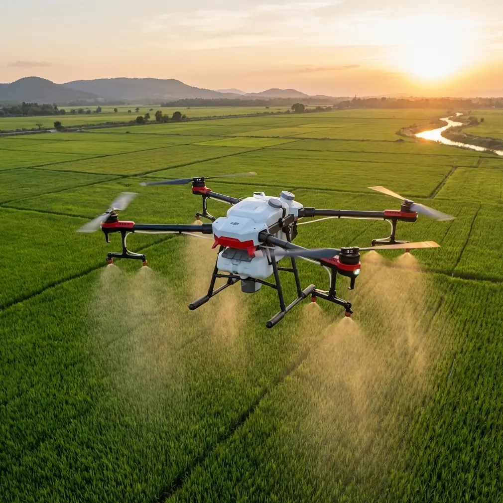
Surveying fields in broken ground—terraces, ridgelines, irrigation cuts, tree belts, utility lines—demands more than a drone that simply flies well in open space. It needs to stay composed when the landscape compresses your margins. It needs to preserve visual detail when light shifts across slopes. And if you are working near infrastructure, where signal conditions can become messy, it needs a pilot who understands not just the aircraft, but the environment around it.
That is why a recent civil aviation development in Xinjiang caught my attention, even though it was not about Avata directly. On March 17, Uisee Technology and Xinjiang Airport Group signed a strategic cooperation agreement centered on integrating autonomous driving technology into civil aviation scenarios in Xinjiang. That matters because Xinjiang Airport Group is not managing one or two isolated facilities. It operates 27 civil transport airports and 2 general aviation airports across the region. At that scale, automation is no longer a futuristic concept. It becomes an operational discipline shaped by difficult geography, distributed infrastructure, and real-world movement between airside and landside systems.
For anyone thinking seriously about Avata for surveying fields in complex terrain, that news is a useful lens. It points to a larger truth: intelligent mobility systems succeed only when they can function across fragmented environments without losing reliability. That same logic applies to small UAV work in agriculture, inspection, and terrain documentation.
Avata is not a traditional mapping platform. It was never designed to replace larger survey aircraft carrying specialized sensors. But in the hands of a disciplined operator, it can become a sharp tool for visual reconnaissance, route planning, low-altitude terrain familiarization, and detailed documentation of hard-to-reach field conditions. Those are not secondary tasks. In many projects, they are what determines whether the larger survey mission runs smoothly or wastes time.
Why the Xinjiang aviation story matters to Avata pilots
Xinjiang is a region where scale changes everything. When one airport group manages 29 airports in total, spread across a wide and varied landscape, system design has to account for operational inconsistency. Terrain, weather exposure, distance, and infrastructure layout all influence how automation performs. The strategic agreement’s focus on deep integration between autonomous driving technology and civil aviation scenarios suggests a broader push toward connected ground-air workflows rather than isolated pieces of technology.
That is the key operational takeaway for Avata users.
When you survey fields in complex terrain, your job is rarely just “fly and film.” You are gathering visual intelligence that helps a broader workflow: identifying access routes, checking slope stability, understanding crop boundary irregularities, tracing irrigation corridors, or documenting site conditions before a larger inspection or mapping pass. In other words, your drone work sits inside a system. The Xinjiang agreement reflects the same mindset on a much larger stage—mobility tools need to support each other across environments, not work as stand-alone gadgets.
For Avata operators, that means thinking less about cinematic novelty and more about controlled data capture in difficult spaces.
Where Avata fits in a field surveying workflow
Avata is at its best when the terrain is too tight, too uneven, or too visually congested for a casual flight style. In open farmland, plenty of drones can produce clean overheads. Complex terrain is where handling matters.
A terraced hillside, for example, creates layered vertical surfaces, abrupt elevation changes, and repeated visual patterns that can confuse less careful pilots. Drainage channels can disappear into shadow, then reappear as reflective lines. Tree rows can mask fence lines. A narrow ridge might offer a flight path on one pass and become a signal trap on the next, depending on your orientation.
This is where obstacle awareness and manual control discipline become more than checklist features. Avata’s compact, agile form factor gives it a real advantage for low-altitude passes along contour lines, around embankments, and near structures that would make broader aircraft feel clumsy. If your goal is to inspect crop stress along irregular terrain or document erosion around field edges, the ability to hold a deliberate line through constrained space is often more valuable than raw speed.
That also changes how features like QuickShots or Hyperlapse should be viewed. In general consumer marketing, they are pitched as creative shortcuts. In field work, they are more useful as repeatable motion templates for presentation or progress documentation—especially when stakeholders need a fast visual understanding of terrain complexity. A carefully planned orbit around a damaged irrigation cut or a Hyperlapse showing access-path limitations across a hillside can communicate site reality faster than a stack of stills.
Obstacle avoidance is only part of the safety equation
Readers often ask whether obstacle avoidance alone makes a drone suitable for difficult agricultural ground. The short answer is no.
Obstacle sensing helps, but field surveying in complex terrain depends just as much on reading the terrain before the flight. Avata can reduce pilot workload in cluttered environments, but it cannot interpret project intent. It does not know whether the line of trees ahead matters because they shade a drainage issue, or whether the dip beyond the ridge contains the feature you actually need to inspect.
The practical significance is simple: obstacle avoidance buys margin, not judgment.
In terraced or segmented fields, I prefer to break the mission into short visual sectors. Fly one section cleanly, review the framing, then move to the next. This approach keeps the aircraft inside a controlled mental map. It also reduces the chance of overcommitting into a blind descent where terrain, vegetation, and signal conditions all start changing at once.
ActiveTrack and subject tracking can be useful, but they need restraint in survey contexts. If you are following a tractor route, maintenance vehicle, or worker path for workflow analysis, tracking can help document how terrain affects movement efficiency. But in dense terrain, automated tracking should never replace route planning. Visual continuity in a field is rarely as clean as it looks from the ground.
Electromagnetic interference: the issue most pilots underestimate
The most interesting prompt in this discussion is electromagnetic interference and antenna adjustment, because this is where many otherwise competent flights begin to unravel.
Complex agricultural terrain often sits closer to infrastructure than pilots expect. Pump stations, buried utilities, power distribution lines, communications equipment, metal fencing, and even parked machinery can influence signal behavior. Add ridgelines or embankments, and the aircraft may briefly lose the most favorable orientation for transmission.
When I feel signal confidence drop, my first reaction is not to push forward and hope it clears. I adjust position and antenna alignment.
That sounds basic, but it is frequently ignored. Antennas are not decorative extensions of the controller setup. Their orientation affects how effectively your link reaches the aircraft, especially when terrain is blocking or reflecting energy in awkward ways. In practice, handling interference means doing three things quickly:
- stop advancing into the problem zone,
- rotate or reposition yourself to improve line-of-sight geometry,
- adjust antenna direction deliberately rather than randomly.
Even a modest shift in pilot position can help if a berm, wall, vehicle, or structure is creating a partial shield. In hilly fields, stepping laterally to restore a cleaner angle sometimes works better than climbing the aircraft higher, because raising altitude can put the drone into stronger reflective interference near wires or metal structures.
This is another reason the Xinjiang airport automation story matters. Any organization trying to merge autonomous systems with civil aviation operations across a network of 27 civil transport airports and 2 general aviation airports must treat environment-specific reliability as a design principle. Signal integrity, route predictability, and system coordination are not abstract engineering goals. They are operational necessities. Avata pilots working in difficult field environments should adopt the same mindset at a smaller scale.
If you need a practical second opinion on setup choices for your terrain and controller orientation, you can message an Avata specialist here.
Camera workflow: why D-Log earns its place in survey documentation
Surveying fields is not always about creating a pretty image. Often, it is about preserving enough tonal information to evaluate conditions after the flight.
That is where D-Log becomes useful. Not because every field mission needs a dramatic grade, but because harsh light on uneven terrain can destroy detail fast. A sunlit slope beside a shadowed cut line creates exactly the kind of contrast range that makes standard footage feel thin in review. If you are inspecting crop edge health, erosion scars, soil exposure, or moisture differences, preserving highlight and shadow nuance can make your footage more interpretable.
For me, D-Log is less about aesthetic freedom and more about decision-making flexibility. You can normalize footage later while still keeping detail in critical areas that might otherwise clip or crush. This is especially helpful when documenting terrain at different times of day for comparison.
Photographers tend to appreciate this intuitively. Survey teams should too. The cleaner the source image, the more useful your archive becomes when someone revisits the footage weeks later and asks a question you were not targeting on the day of flight.
Avata is strongest as a close-range intelligence tool
This is the point that often gets missed. Avata should not be judged solely by the standards of broad-acre mapping drones. Its value is different.
It excels when you need to understand a place before or alongside a larger operation:
- tracing the safest flight corridor through uneven ground,
- previewing visual obstructions,
- documenting field-edge infrastructure,
- inspecting erosion or runoff pathways,
- capturing low-altitude contextual footage for agronomy, construction, or land management teams.
In that role, Avata becomes a precision scouting platform.
The connection to the Xinjiang cooperation agreement becomes clearer here. The agreement describes a vision of deep integration between autonomous driving and civil aviation scenarios, framed around an “air-ground integrated” intelligent transport ecosystem. That phrase carries practical weight. Air and ground operations are more useful when each one improves the other. In civilian field surveying, Avata can play exactly that role. It helps ground teams move smarter by giving them a close, navigable visual layer that broad overviews often miss.
Final technical verdict
For surveying fields in complex terrain, Avata makes the most sense when your priority is controlled, low-altitude visual intelligence rather than formal large-area mapping output. Its agility, obstacle-awareness support, and camera flexibility make it particularly effective in segmented landscapes where elevation, vegetation, and infrastructure compress pilot decision time.
But the aircraft is only half the equation.
The recent March 17 agreement between Uisee Technology and Xinjiang Airport Group is a reminder that intelligent operations depend on integration, not isolated features. And the fact that Xinjiang Airport Group manages 27 civil transport airports plus 2 general aviation airports shows what real operational complexity looks like. Scaled down to field work, the lesson is straightforward: a capable drone becomes genuinely valuable only when the pilot understands terrain, workflow, signal behavior, and the purpose of the flight.
That is why antenna adjustment during electromagnetic interference matters. That is why D-Log matters. That is why obstacle avoidance helps, but does not replace route judgment.
Avata is not a magic survey machine. It is something better than that in the right context: a compact aircraft that rewards careful operators with access, perspective, and control where the landscape stops being forgiving.
Ready for your own Avata? Contact our team for expert consultation.