Avata Power Line Surveying: Expert Tips for Complex Terrain
Avata Power Line Surveying: Expert Tips for Complex Terrain
META: Master power line inspections with DJI Avata. Learn expert surveying techniques, obstacle avoidance strategies, and weather adaptation tips from professional pilots.
TL;DR
- Avata's compact design and propeller guards make it ideal for navigating tight spaces around power infrastructure
- Motion Controller integration provides intuitive flight paths along transmission corridors
- Built-in stabilization maintains footage quality even when weather conditions shift unexpectedly
- FPV goggles deliver immersive perspective crucial for identifying line damage and vegetation encroachment
Why the Avata Excels at Power Line Infrastructure Surveys
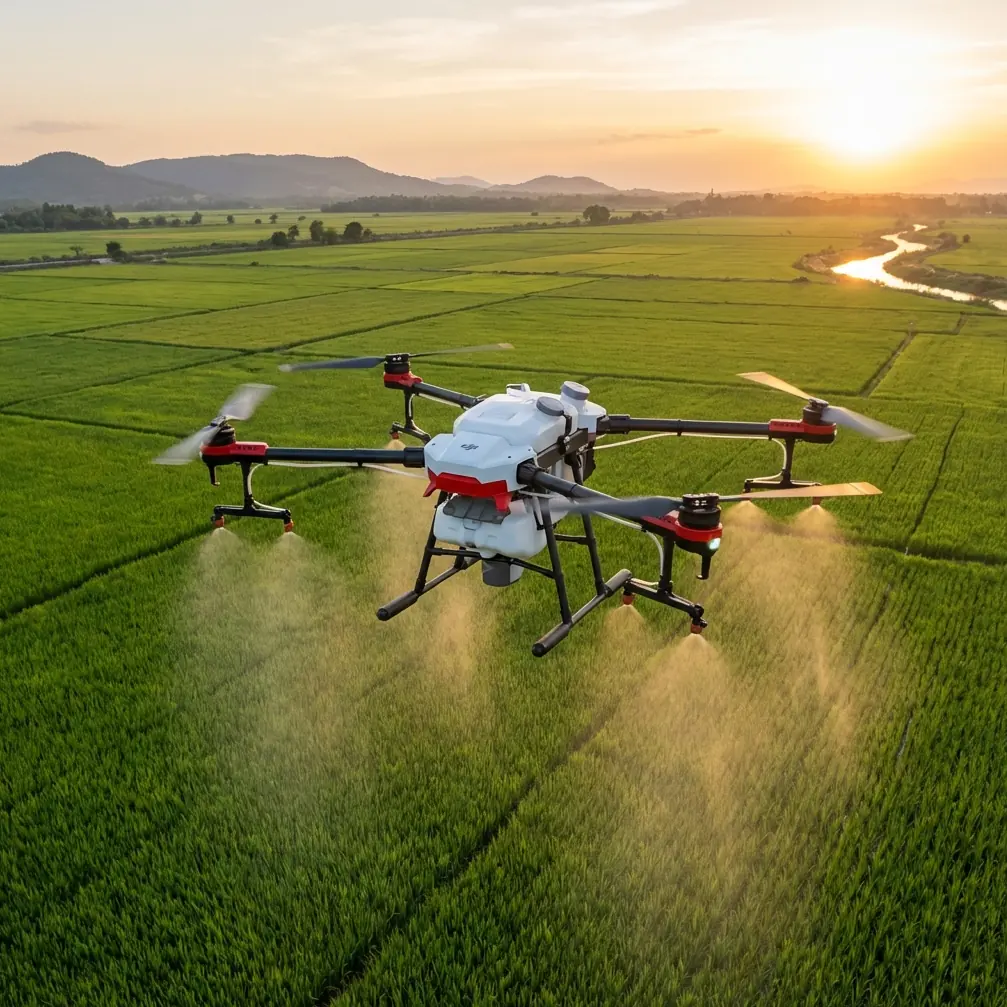
Power line inspections demand precision flight control in environments where traditional drones struggle. The DJI Avata brings a unique combination of agility, protection, and immersive piloting that transforms how utility crews approach infrastructure assessment.
Unlike larger survey platforms, the Avata weighs just 410 grams and features integrated propeller guards. This design allows pilots to fly confidently near conductors, insulators, and support structures without risking equipment damage or service interruptions.
The real advantage emerges when surveying lines through complex terrain—mountain passes, dense forest corridors, or urban environments where towers sit between buildings. Traditional multirotors require excessive standoff distances. The Avata closes that gap safely.
Essential Pre-Flight Planning for Transmission Corridors
Mapping Your Survey Route
Before launching, study the transmission corridor using satellite imagery and existing GIS data. Identify these critical waypoints:
- Tension towers requiring close structural inspection
- Suspension points where conductor sag needs measurement
- Vegetation zones where trees approach minimum clearance distances
- Access points for emergency landing if conditions deteriorate
- RF interference sources including substations and communication towers
The Avata's O3+ transmission system maintains stable video feed up to 10 kilometers, but power infrastructure creates electromagnetic interference. Plan your route to maintain line-of-sight with your position whenever possible.
Weather Assessment Protocol
Morning flights typically offer the calmest conditions. However, terrain-induced weather changes happen fast—something I learned firsthand during a recent mountain corridor survey.
Thirty minutes into documenting a 115kV transmission line through a valley, cloud cover rolled in unexpectedly. Temperature dropped 8 degrees in minutes, and crosswinds picked up to 15 mph.
The Avata's response impressed me. Its low-profile aerodynamic design handled the gusts without the dramatic attitude corrections larger drones require. The integrated propeller guards meant I could continue flying closer to structures without wind-induced drift creating collision risk.
Expert Insight: The Avata performs reliably in winds up to 10.7 m/s (24 mph). However, power line surveys near ridgelines experience accelerated wind speeds due to terrain compression. Reduce your operational wind limit by 30% when flying elevated corridors.
Flight Techniques for Comprehensive Line Documentation
The Corridor Sweep Method
Start each span by positioning the Avata 15-20 meters below the lowest conductor. Fly parallel to the line direction while gradually ascending. This technique captures:
- Conductor condition and splice locations
- Insulator contamination or damage
- Hardware corrosion on attachment points
- Bird nesting or debris accumulation
The Motion Controller makes this maneuver intuitive. Tilt forward for translation while rotating your wrist for altitude changes. The result is smooth, cinematic footage that also serves technical documentation purposes.
Tower Orbit Inspections
Each support structure requires 360-degree documentation. The Avata's Subject tracking capabilities help maintain consistent framing, but manual orbits often produce better results around complex lattice towers.
Maintain these parameters during tower inspections:
- Orbit radius: 8-12 meters from structure center
- Altitude bands: Capture at foundation, mid-height, and crossarm levels
- Speed: No faster than 3 m/s for sharp detail capture
- Overlap: Ensure 60% frame overlap for photogrammetry processing
Conductor Close-Approach Technique
Damaged conductors require detailed inspection. The Avata's propeller guards enable approaches that would be reckless with exposed blades.
Position the drone 2-3 meters from the conductor, perpendicular to the line direction. Use the FPV goggles' 1920x1080 display to identify:
- Strand breakage or bird caging
- Corona damage indicators
- Splice condition and alignment
- Armor rod positioning
Pro Tip: Enable D-Log color profile when documenting conductor damage. The flat color profile preserves highlight detail on reflective aluminum strands and captures subtle corrosion coloration that standard profiles clip or oversaturate.
Technical Comparison: Avata vs. Traditional Survey Platforms
| Feature | DJI Avata | Standard Inspection Drone | Fixed-Wing Survey |
|---|---|---|---|
| Weight | 410g | 1200-2000g | 2500g+ |
| Propeller Protection | Integrated guards | Optional (adds weight) | N/A |
| Minimum Inspection Distance | 2-3m safely | 5-8m recommended | 15m+ |
| Flight Time | 18 minutes | 25-40 minutes | 60+ minutes |
| Pilot Perspective | Immersive FPV | Monitor-based | Monitor-based |
| Terrain Adaptability | Excellent | Good | Limited |
| Wind Resistance | 10.7 m/s | 12-15 m/s | 15+ m/s |
| Learning Curve | Moderate | Low | High |
The Avata trades flight endurance for maneuverability and close-approach capability. For detailed infrastructure inspection, this tradeoff favors the Avata. For long-corridor patrol flights, supplement with traditional platforms.
Optimizing Camera Settings for Infrastructure Documentation
Video Configuration
Power line surveys benefit from specific recording parameters:
- Resolution: 4K at 60fps for smooth playback during review
- Field of View: Wide setting captures context; switch to Normal for detail shots
- Stabilization: RockSteady enabled for all flight footage
- Color Profile: D-Log for maximum post-processing flexibility
Hyperlapse for Corridor Overview
The Hyperlapse function creates compelling overview footage showing entire transmission corridors. Set waypoints at each tower location, configure 5-second intervals, and let the Avata document the full route.
This footage serves dual purposes: technical documentation of corridor condition and stakeholder communication materials showing infrastructure scope.
Obstacle Avoidance Strategy in Congested Environments
The Avata relies on pilot skill rather than automated obstacle sensors. This design choice actually benefits power line work.
Automated avoidance systems often trigger false positives around thin conductors and guy wires. The resulting sudden stops or course corrections create more hazard than they prevent.
Instead, develop these manual avoidance habits:
- Constant altitude awareness: Power lines create invisible horizontal planes
- Peripheral monitoring: Use goggles' full field of view, not just center focus
- Escape route planning: Always know your clear-sky direction
- Speed discipline: Slower flight means more reaction time
The propeller guards provide collision tolerance for minor contact with vegetation or structures. This protection layer allows confident flight in spaces where unguarded drones would require excessive caution.
Common Mistakes to Avoid
Flying directly under conductors: Electromagnetic interference intensifies directly beneath high-voltage lines. Maintain lateral offset during parallel flight.
Ignoring temperature effects on battery: Cold mountain surveys reduce battery capacity by 15-25%. Warm batteries before launch and plan shorter flights in cold conditions.
Overlooking guy wire hazards: Support cables are nearly invisible against sky backgrounds. Study tower designs before approach to identify all wire attachment points.
Rushing tower transitions: The temptation to quickly move between structures leads to missed defects. Budget 3-4 minutes per tower for thorough documentation.
Neglecting return-to-home altitude: Set RTH altitude above the highest conductor in your survey area. A low RTH setting creates collision risk during automated returns.
Frequently Asked Questions
Can the Avata capture imagery suitable for photogrammetry processing?
Yes, though with limitations. The 48MP photo mode produces sufficient resolution for basic 3D modeling. For survey-grade photogrammetry, capture video at 4K/60fps and extract frames at consistent intervals. The RockSteady stabilization maintains frame sharpness that dedicated survey cameras achieve through mechanical gimbals.
How does ActiveTrack perform around power infrastructure?
ActiveTrack functions but requires careful application. The system may lock onto tower structures rather than specific components you intend to document. Manual flight control typically produces better results for infrastructure inspection. Reserve ActiveTrack for following ground crews or vehicles along access roads.
What backup procedures should pilots establish for power line surveys?
Carry minimum three batteries per survey session. Establish visual observer positions every 500 meters along the corridor. Pre-program emergency landing coordinates in areas clear of infrastructure. Maintain cellular communication with utility dispatch for immediate outage notification if contact occurs.
Bringing Professional-Grade Inspection to Every Corridor
The Avata transforms power line surveying from a specialized operation requiring heavy equipment into an accessible capability for utility crews and inspection contractors. Its combination of protected flight, immersive piloting, and capable imaging creates documentation that supports maintenance decisions and regulatory compliance.
Master the techniques outlined here, respect the unique hazards of electrical infrastructure, and the Avata becomes an indispensable tool for keeping transmission systems reliable.
Ready for your own Avata? Contact our team for expert consultation.