Avata Surveying Tips for Venues in Complex Terrain
Avata Surveying Tips for Venues in Complex Terrain: What a Mine-Mapping Workflow Teaches Us
META: A technical review of how DJI Avata fits venue surveying in complex terrain, using real mine-monitoring reference data on endurance, imaging, wind tolerance, and 3D modeling workflows.
Most people looking at Avata for venue work start in the wrong place. They focus on cinematic flight feel, FPV immersion, or social-video output. That misses the practical question: when the site is irregular, elevation changes quickly, and access is awkward, what kind of workflow actually gets useful survey-grade visual intelligence with less friction?
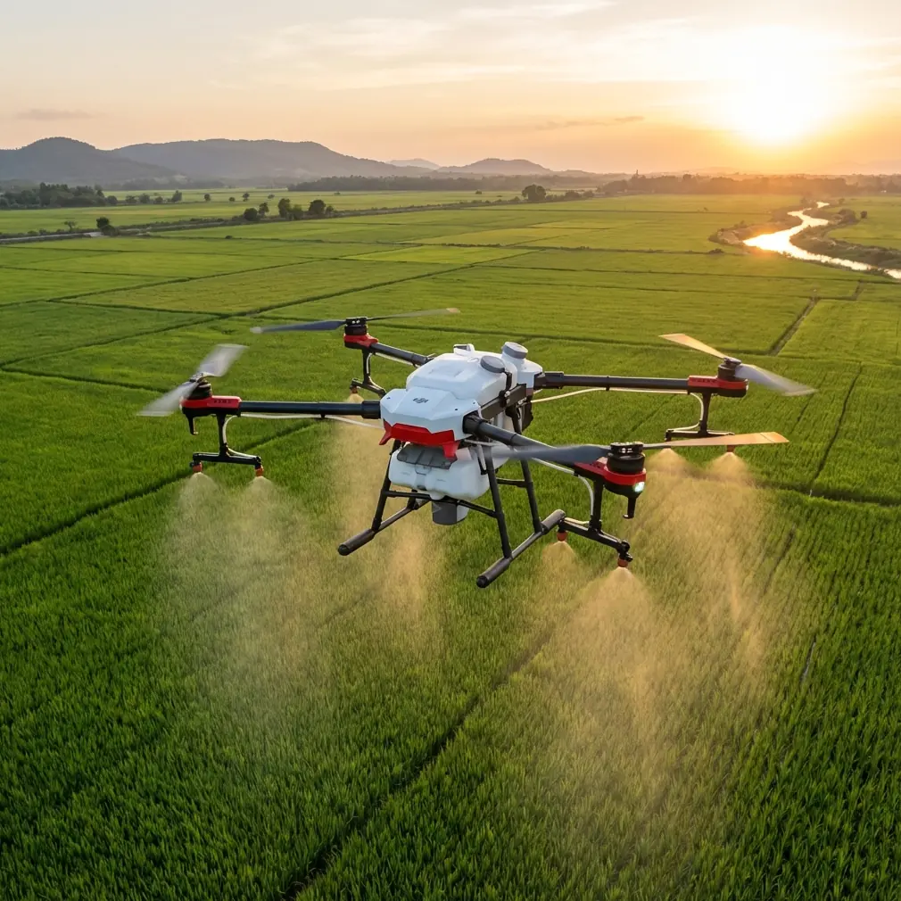
A mine-monitoring solution from Tianjin Tengyun Zhihang offers a surprisingly useful lens for answering that. Not because Avata is a direct substitute for a heavy industrial mapping aircraft. It is not. The reference platform, the iFly D6, is a much larger tool built around payload flexibility and structured data capture. But its published specifications and imaging stack reveal something more valuable than a product comparison: they show which operational constraints matter most when terrain gets difficult.
That matters for anyone evaluating Avata for surveying venues built into slopes, quarries, amphitheaters, hillside resorts, outdoor event grounds, or construction-adjacent sites where conventional line-of-sight inspection from the ground leaves too many blind spots.
What the mine-monitoring reference gets right
The iFly D6 setup in the source material is designed around terrain reality, not brochure fantasy. A few details stand out.
First, the aircraft is built for practical deployment. It has a 10-minute setup time, autonomous takeoff and landing, and vertical takeoff and landing capability. In rough terrain, these are not cosmetic specs. They directly reduce dependency on ideal launch zones. If the surface is uneven, dusty, or constrained by rock edges and worksite clutter, VTOL and fast setup are what keep the mission moving.
Second, the endurance and environmental numbers are tied to continuity of work. The platform is listed at 40 minutes of flight time, a 5 km control radius, operation in level-6 wind, and even the ability to be controlled in light rain. You should read those figures less as bragging rights and more as a statement of workflow resilience. Complex terrain creates interruptions: shifting wind channels, inaccessible ridgelines, and staging points that are never exactly where you want them. A platform that tolerates less-than-perfect field conditions lowers the chance of rework.
Third, the imaging philosophy is unmistakably survey-led. The document pairs the aircraft with a standard Sony A7R and optional payloads including oblique, hyperspectral, and infrared cameras. It also details the iCamQ5 five-lens oblique camera, which combines one vertical and four angled cameras, delivers more than 100 million total pixels, supports a 2-second minimum exposure interval, and is intended to generate high-resolution true 3D models through post-processing. The workflow then points to Pix4Dmapper for turning large image sets into 2D maps and 3D models.
That stack tells you something important. In difficult terrain, raw footage is only the first layer. The real value comes from coverage geometry, repeatability, and how well the capture method supports spatial reconstruction later.
Where Avata fits, and where it does not
If your goal is full-site orthomosaic production over a large venue with rigorous measurement expectations, Avata is not the natural replacement for a 12 kg, 6 kg payload-capable industrial aircraft. That much is obvious.
But venue surveying is broader than formal mapping.
A lot of real-world venue assessment work falls into a middle zone: documenting access paths, visualizing elevation transitions, checking facade exposure, inspecting bleachers or retaining walls, reviewing drainage behavior after weather, validating temporary infrastructure placement, or building a detailed preproduction visual record before a larger survey team arrives. In those jobs, Avata’s strengths become more relevant than people expect.
The reason is simple. Complex terrain punishes aircraft that need space, still air, and a perfect launch discipline. Avata is useful precisely because it can move through tight corridors, fly low and close with confidence, and reveal the parts of a venue that broad-grid aerial mapping often smooths over.
That is especially true when you are surveying venues with:
- stepped topography
- tree-lined boundaries
- rock walls or berms
- partial roof structures
- seating overhangs
- scaffolded zones
- service alleys and access tunnels
These are environments where the practical challenge is not just “capture the site.” It is “capture the site without missing the awkward edges.”
The operational lesson from the D6: deployment speed beats theoretical perfection
One of the most useful details in the reference is the 10-minute setup time. For survey professionals, that figure translates into something bigger than convenience. It means more of the day is spent gathering data and less of it is spent preparing to gather data.
With Avata, that principle becomes even more pronounced. You are not carrying a five-camera oblique rig with 160 GB onboard storage and a dedicated post-processing workflow as your default deployment model. You are carrying a compact aircraft that can be launched quickly and sent into the visually complex portions of the site almost immediately.
For venue operators and survey teams, this creates a highly efficient two-layer workflow:
- Use a larger mapping platform when the deliverable demands classic geospatial outputs.
- Use Avata to inspect the terrain complexity that broad mission planning tends to underrepresent.
That second layer is where Avata earns its place. It can document stairs, under-canopy routes, retaining edges, stage approaches, and audience movement corridors in a way that feels intuitive when reviewed later. You are not just collecting overhead data. You are collecting spatial context from the perspective that actually matters to planners, engineers, and site managers.
Why obstacle management matters more than headline speed
The source document lists the iFly D6 at less than 10 m/s flight speed. That figure is telling. For terrain-sensitive monitoring, slower, controlled capture is often better than aggressive transit speed. Precision beats drama.
This is where Avata’s obstacle-awareness mindset becomes relevant to venue surveying. In real inspection and planning scenarios, obstacle avoidance is not a convenience feature. It is the difference between confidently tracing a route along a rock edge and abandoning the shot because the space is too unforgiving.
If you are reviewing a venue built into a hillside, obstacle-rich flight gives you cleaner and more repeatable pathing around:
- lighting trusses
- tree branches
- fences
- cable runs
- handrails
- temporary structures
That directly improves the usefulness of the footage for planning teams. Smooth, deliberate low-altitude passes are easier to interpret than high, distant orbits that hide grade changes.
The cinematic side of Avata also becomes practical here. Stable close-proximity flight makes it possible to capture approach lines, egress routes, and visibility constraints in a way that stakeholders can understand instantly, even if they are not drone specialists.
A mine-imaging workflow also clarifies Avata’s biggest limitation
The mine-monitoring reference emphasizes structured image capture for model generation. The iCamQ5 is not just a camera; it is a geometry machine. With one vertical and four oblique lenses, it captures surfaces from multiple angles in a single pass so software can reconstruct a more complete true-3D scene.
Avata does not replicate that specialized capture architecture on its own. This is the point many users need to hear clearly. If you want the sort of highly systematic, software-ready dataset implied by the reference workflow, you will need to design the mission around repeatability and overlap rather than relying on Avata’s default “good-looking footage.”
That means thinking like a surveyor even when flying a compact FPV platform:
- maintain consistent route logic
- control speed through complex sections
- preserve angle discipline
- avoid unnecessary yaw variation
- plan multiple passes for hard-to-see surfaces
In other words, Avata can contribute to venue surveying well, but only when the operator resists the temptation to fly it like a freestyle camera toy.
Third-party accessories can make Avata more useful on survey-style jobs
The prompt asked for a third-party accessory that genuinely enhances capability, and this is one case where the answer is straightforward: an ND filter set from a reputable third-party brand can substantially improve Avata’s value for venue surveying.
Why? Because terrain review often happens under ugly lighting. Bright sky over a dark quarry wall. Reflective concrete beside shaded seating. Tree cover opening into sunlit slopes. If your shutter behavior is inconsistent, footage becomes harder to inspect frame by frame. A good ND filter kit helps hold motion rendition and exposure discipline together, which matters when teams are reviewing surface condition, access risk, or structural context rather than just admiring the scene.
I have also seen operators pair Avata with third-party landing pads or compact field cases to speed redeployment between survey points. Those are modest upgrades, but they matter in the same way the D6’s 10-minute setup matters: less friction, more usable site coverage.
If you need to compare field setups or accessory combinations with someone who understands compact drone workflows for constrained sites, this direct chat link for drone planning questions is a practical place to start.
D-Log, Hyperlapse, and ActiveTrack are not the main story, but they have a place
The contextual hints around D-Log, Hyperlapse, QuickShots, subject tracking, and ActiveTrack sound like marketing features on paper. In venue surveying, they only matter when tied to a specific output.
D-Log is the easiest one to justify. When terrain includes deep shadows and bright hardscape, flatter capture can preserve more grading flexibility for review videos and stakeholder presentations. If the point of the flight is to evaluate conditions accurately, not just produce a punchy edit, controlled color workflow matters.
Hyperlapse can help document changing site relationships across a larger venue, especially when you want to communicate how access routes connect over elevation shifts. It is not a mapping tool, but it can be an excellent briefing asset.
Subject tracking and ActiveTrack are less central for static venues, yet they can be useful when surveying movement patterns tied to setup crews, maintenance vehicles, or guided route testing. The caution is obvious: autonomous following should never replace deliberate manual positioning in obstacle-dense terrain.
QuickShots are the least critical for technical work, though they can still help produce a quick visual overview for nontechnical stakeholders before the detailed review begins.
The smartest way to use Avata on venue surveying jobs
The mine-monitoring source points toward a disciplined chain: airframe capability, sensor choice, environmental tolerance, then software reconstruction. Avata users should borrow that logic even if the hardware is lighter.
A strong Avata venue-survey workflow usually looks like this:
1. Define the deliverable before launch
Are you inspecting circulation paths, documenting terrain hazards, or creating a visual pre-survey package for a larger geospatial team? Each objective changes flight style.
2. Prioritize low-altitude context
Large-area overhead views are easy to get. The real value comes from transitions: slope breaks, blind corners, canopy edges, stair interfaces, retaining walls.
3. Fly repeatable lines
The reference workflow’s modeling orientation is a reminder that consistency matters. If you may need to revisit the venue later, repeatability turns one-off footage into operational documentation.
4. Respect weather and airflow
The D6 reference explicitly notes level-6 wind resistance and operation in light rain. Those numbers underline how much environmental tolerance affects field success. Avata operators should be conservative in complex airflow zones around cliffs, seating bowls, and structures. Small drones feel terrain-generated turbulence sooner.
5. Build a layered dataset
Use Avata for immersive close-range site intelligence, then combine that with conventional mapping outputs or ground photography where needed. The result is more complete than either method alone.
Final assessment
The mine-monitoring reference is about a different class of aircraft, but it captures a truth that applies directly to Avata use in venue surveying: in complex terrain, useful data comes from disciplined capture under imperfect field conditions.
The published figures tell the story. A 40-minute industrial platform with VTOL, 5 km control radius, 6 kg payload capacity, and a five-lens oblique camera is designed to tame terrain through endurance, payload, and data structure. Avata tackles the same terrain from another angle. It wins on immediacy, access, proximity, and the ability to show the spatial character of a venue where bigger mapping systems often become inefficient or visually detached.
Used carelessly, Avata produces flashy footage that adds little to survey decisions. Used with the mindset implied by the D6 workflow—planned routes, controlled speed, imaging discipline, and post-flight intent—it becomes a sharp tool for pre-survey reconnaissance, terrain interpretation, stakeholder communication, and close-quarters venue inspection.
That is the real takeaway. Not that Avata replaces industrial mapping aircraft. It doesn’t. It complements the jobs they leave half-finished, especially when the terrain itself is the problem.
Ready for your own Avata? Contact our team for expert consultation.