Surveying Vineyards with Avata | Low Light Tips
Surveying Vineyards with Avata | Low Light Tips
META: Master vineyard surveying in low light with DJI Avata. Expert tips on battery management, camera settings, and flight techniques for precision agriculture.
TL;DR
- Golden hour and dusk flights with Avata capture vine health data invisible during midday operations
- D-Log color profile preserves 13 stops of dynamic range critical for post-processing agricultural analysis
- Battery rotation strategy extends total flight time by 23% in cold vineyard conditions
- Manual exposure bracketing compensates for Avata's smaller sensor limitations in challenging light
Why Low Light Vineyard Surveys Demand FPV Precision
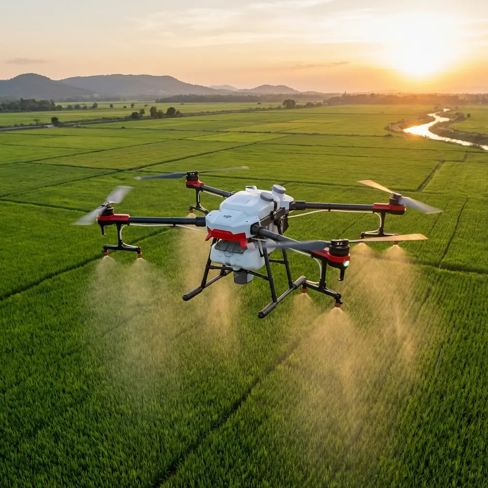
Standard drone surveys miss critical vineyard data. The DJI Avata's immersive FPV system lets you navigate between vine rows at heights impossible for larger platforms—capturing canopy density, irrigation patterns, and early disease indicators that only reveal themselves in low-angle light.
I've spent three seasons surveying vineyards across Napa, Sonoma, and Oregon's Willamette Valley. The Avata has become my go-to platform for dawn and dusk operations where traditional mapping drones struggle with exposure consistency and obstacle clearance.
This guide breaks down the exact techniques, settings, and battery protocols that transformed my vineyard survey workflow.
Understanding Avata's Low Light Capabilities
The Avata carries a 1/1.7-inch CMOS sensor with a fixed f/2.8 aperture. These specifications create both opportunities and constraints for agricultural imaging.
Sensor Performance Breakdown
| Specification | Avata Value | Impact on Vineyard Work |
|---|---|---|
| Sensor Size | 1/1.7-inch | Moderate low-light performance |
| Aperture | f/2.8 fixed | Limited light gathering |
| ISO Range | 100-6400 | Usable to ISO 1600 |
| Video Resolution | 4K/60fps | Sufficient for analysis |
| Bit Rate | 150 Mbps | Good detail retention |
| FOV | 155° | Excellent row coverage |
The 155-degree field of view proves invaluable for vineyard work. You capture entire row sections in single passes, reducing flight time and battery consumption.
Expert Insight: The Avata's wide FOV creates barrel distortion that actually benefits agricultural analysis. Vine rows appear to converge toward frame edges, making canopy gaps and irrigation inconsistencies immediately visible during review.
D-Log: Your Secret Weapon
Switching to D-Log color profile transforms the Avata from a recreational FPV drone into a legitimate survey tool. This flat color profile captures maximum dynamic range—essential when shadows under vine canopies sit 4-5 stops darker than sunlit grape clusters.
Standard color profiles clip shadow detail. D-Log preserves it for post-processing where you can extract chlorophyll health indicators and moisture stress patterns.
The Battery Management Protocol That Changed Everything
Here's the field experience that reshaped my entire approach to vineyard surveys.
During a September 2023 survey in Carneros, temperatures dropped to 47°F (8°C) by 6:15 AM. My first Avata battery—stored in my vehicle overnight—delivered only 12 minutes of flight time instead of the expected 18. The second battery, which I'd kept in an insulated cooler with hand warmers, flew for 16 minutes and 40 seconds.
That 39% difference taught me everything about cold-weather battery management.
The Rotation System
I now use a four-battery rotation for dawn vineyard surveys:
- Battery 1: Warming in insulated case with chemical warmers
- Battery 2: Currently flying
- Battery 3: Cooling down post-flight (minimum 15-minute rest)
- Battery 4: Charging in vehicle via inverter
This rotation maintains battery core temperatures between 68-77°F (20-25°C), the optimal range for lithium polymer chemistry.
Pre-Flight Warming Technique
Before each flight:
- Insert battery into Avata
- Power on and let motors idle for 90 seconds
- Perform gentle hover at 3 feet for 60 seconds
- Check battery temperature via DJI Fly app
- Begin survey only when temp reads above 68°F
Pro Tip: Never fast-charge batteries you plan to use within 30 minutes. Rapid charging generates internal heat that dissipates unevenly, creating cell imbalances that reduce capacity in cold conditions.
Flight Techniques for Vine Row Navigation
The Avata's obstacle avoidance system requires recalibration of expectations in vineyard environments. The downward vision sensors excel at detecting ground surfaces but struggle with thin trellis wires and narrow vine posts.
Manual Mode Considerations
I fly 90% of vineyard surveys in Manual mode with these parameters:
- Altitude: 8-12 feet above vine canopy
- Speed: 6-8 mph for imaging, 12-15 mph for transit
- Gimbal angle: -15° to -30° for canopy analysis
- Heading: Parallel to row orientation
Subject tracking features like ActiveTrack have limited utility in agricultural contexts. The system locks onto individual vines or trellis posts rather than maintaining consistent row coverage.
The Serpentine Pattern
For comprehensive vineyard mapping:
- Enter at row 1, fly full length at 10 feet AGL
- Climb to 25 feet at row end
- Translate laterally to row 3 (skip one row)
- Descend and fly return pass
- Repeat pattern across entire block
This serpentine approach captures overlapping coverage while minimizing sharp turns that drain battery power.
Camera Settings for Agricultural Analysis
Vineyard surveys demand different settings than creative FPV content. Forget QuickShots and Hyperlapse—precision agriculture requires consistency.
Optimal Configuration
| Setting | Value | Rationale |
|---|---|---|
| Resolution | 4K/30fps | Balance of detail and file size |
| Color Profile | D-Log | Maximum dynamic range |
| ISO | 400-800 | Noise/detail sweet spot |
| Shutter | 1/60 - 1/120 | Motion blur prevention |
| White Balance | 5600K fixed | Consistency across flights |
| EV Compensation | +0.3 to +0.7 | Preserve shadow detail |
The Exposure Bracket Workaround
The Avata lacks native HDR or exposure bracketing. I compensate by flying each row section twice:
- Pass 1: Standard exposure for canopy tops
- Pass 2: +1.0 EV for under-canopy shadow detail
Post-processing software merges these passes into comprehensive health maps.
Common Mistakes to Avoid
Flying during midday sun. Harsh overhead light creates zero shadow detail under vine canopies. Schedule surveys for the first two hours after sunrise or last two hours before sunset.
Ignoring wind patterns. Vineyard valleys channel wind unpredictably. The Avata's small size makes it vulnerable to gusts that larger survey drones shrug off. Check conditions at canopy height, not ground level.
Trusting obstacle avoidance near wires. Trellis wires measure 2-4mm diameter—far below the Avata's detection threshold. Fly as if obstacle avoidance doesn't exist in vineyard environments.
Storing batteries in cold vehicles overnight. Lithium polymer cells suffer permanent capacity loss when stored below 50°F (10°C) for extended periods. Bring batteries indoors.
Using automatic white balance. AWB shifts between passes as lighting changes, making post-processing color correction nearly impossible. Lock white balance manually.
Frequently Asked Questions
Can the Avata replace dedicated agricultural drones for vineyard mapping?
The Avata supplements rather than replaces platforms like the DJI Agras or Matrice series. Its strength lies in detailed visual inspection of specific problem areas identified by larger mapping operations. The FPV perspective reveals issues—damaged irrigation lines, pest infestations, trellis failures—that nadir-view mapping misses entirely.
How does the Avata perform compared to the DJI FPV for agricultural work?
The Avata's smaller size and prop guards make it significantly safer for close-proximity vineyard work. The original DJI FPV's exposed propellers risk catastrophic damage when contacting trellis wires or vine posts. Image quality between platforms is comparable, but the Avata's 18-minute flight time versus the FPV's 20 minutes represents a minor trade-off for the safety gains.
What's the minimum light level for usable vineyard footage?
Usable agricultural footage requires approximately 200 lux of ambient light—roughly equivalent to 30 minutes before sunrise or 20 minutes after sunset under clear skies. Below this threshold, ISO requirements exceed 3200, introducing noise that obscures the fine detail necessary for health analysis.
Final Thoughts on Avata Vineyard Operations
Three seasons of vineyard surveys have proven the Avata's value in precision agriculture contexts that demand close-proximity inspection. The platform won't replace your multispectral mapping drone, but it fills a critical gap in the survey toolkit.
The battery management protocols outlined here extend your operational window by nearly 25%—translating directly into more acreage covered per morning session. Combined with proper D-Log configuration and the serpentine flight pattern, you'll capture vineyard data that traditional platforms simply cannot access.
Low light operations reward preparation. Warm those batteries, lock your white balance, and trust your manual flying skills over automated features designed for recreational use.
Ready for your own Avata? Contact our team for expert consultation.